
Fjöll á Íslandi
Frá hinum þekkta keilu Kirkjufells til afskekktrar borðfjalls Herðubreiðar — fjöll Íslands bjóða upp á einhverjar stórkostlegustu göngur og ljósmyndatækifæri í heimi.
Fjöll Íslands eru mótuð af eldfjallakröftum, jökulrof og jarðskorpuhreyfingum — sem skapar toppa sem þræða allt frá fullkomnum samhverfum eldfjallakeilu til dramatískar flattoppuðar tindur og jaðraðra rýólíthryggjum litaður í skærum litum.
Frægastur þeirra er Kirkjufell á Snæfellsnesi — mest ljósmyndaða fjall Íslands. En næstum sérhvert svæði hefur sinn eigin einkennandi tind sem skilgreinir staðbundið landslag.
Mörg fjöll Íslands er hægt að ganga upp á af líkamlega vel undirbúnum ferðamönnum án tæknilegrar klettaklifurþekkingar. Esja nálægt Reykjavík er eitt vinsælasta gönguviðfangsefni landsins. Hálendisfjöll krefjast 4WD aðgengis og sumarlegrar heimsóknar.
Skipulagsráð
Helstu fjöll á Íslandi
Frægasta Fjöll Íslands
Frá eldfjallakeilu til jökulstaðra tinda — gönguleiðir, ljósmyndun og dramatískt landslag.

Kirkjufell
Iceland's Most Photographed Mountain
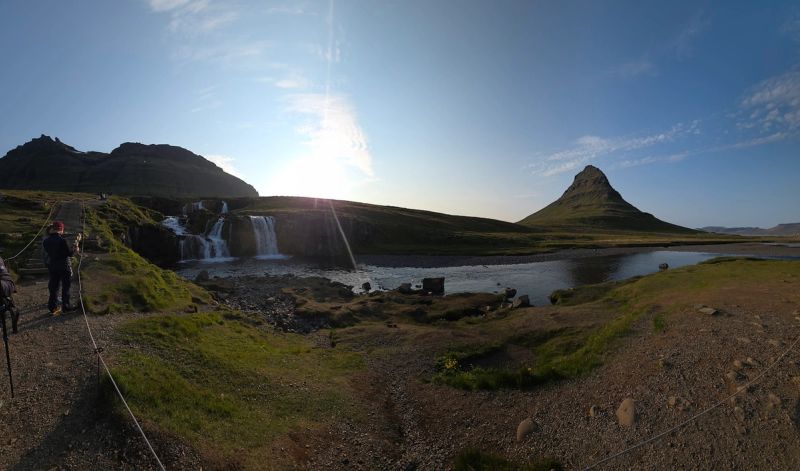
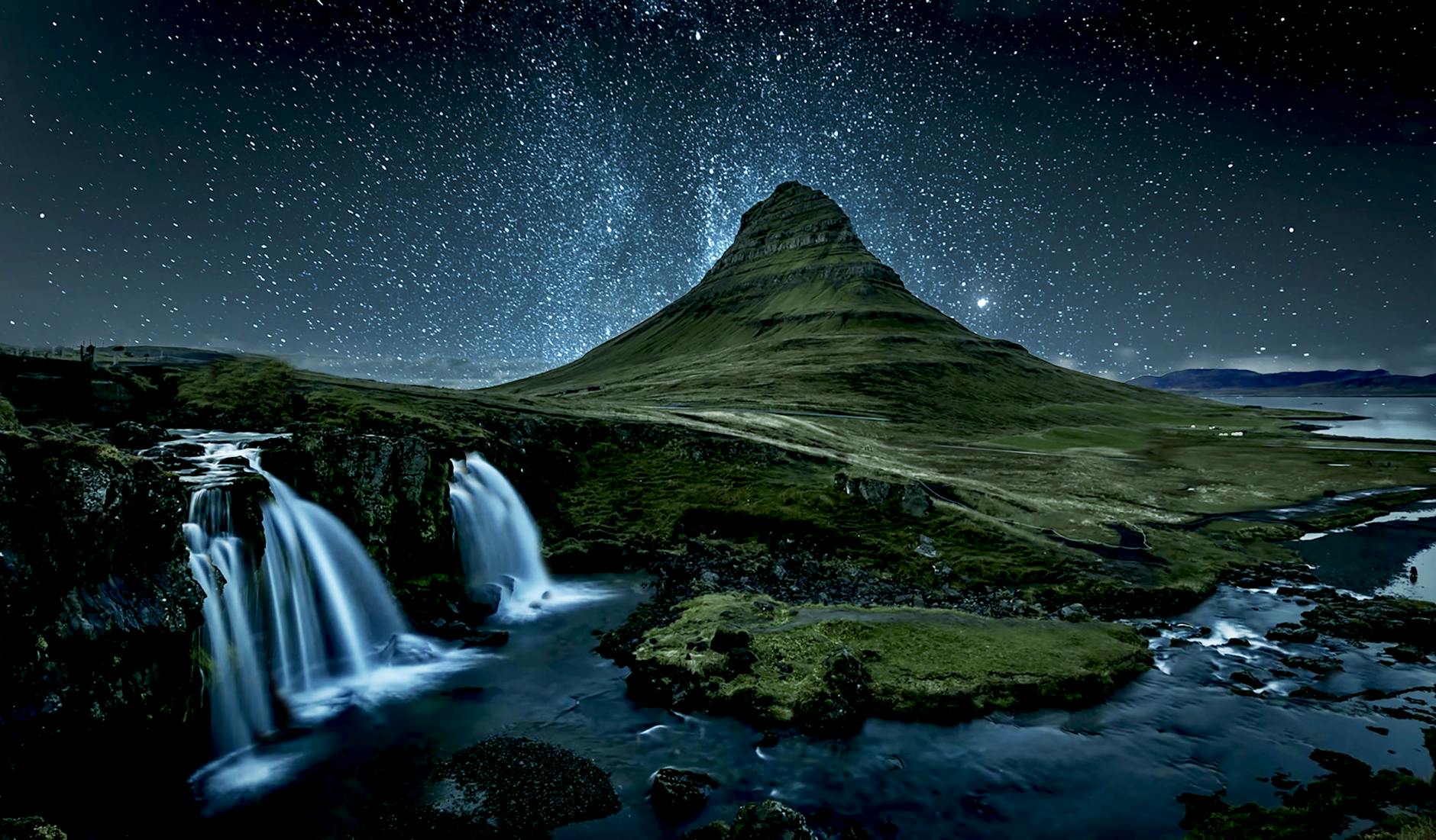
Kirkjufell (Church Mountain) rises 463m above the Snæfellsnes Peninsula, creating one of Iceland's most iconic silhouettes. Its distinctive cone shape and nearby waterfall Kirkjufellsfoss make it the most photographed mountain in Iceland.
Ráð fyrir Gesti

Mount Esja
Reykjavík's Backyard Mountain
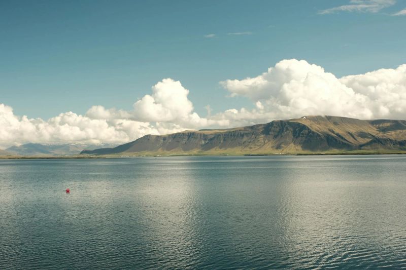
Esja dominates Reykjavík's skyline at 914m. Multiple hiking trails lead to various peaks, with the most popular route taking 2-3 hours to reach Þverfellshorn (780m). The views over Reykjavík and Faxaflói Bay are spectacular.
Ráð fyrir Gesti
Mount Hekla
Gateway to Hell
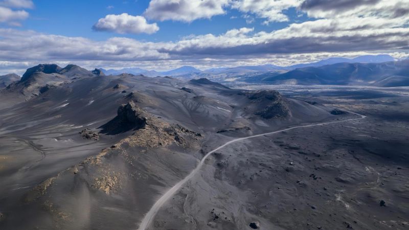
Hekla (1,491m) is one of Iceland's most active and notorious volcanoes, erupting over 20 times since 874. In medieval times, Europeans believed it was the entrance to Hell. The 4-hour summit hike requires experience and good conditions.
Ráð fyrir Gesti
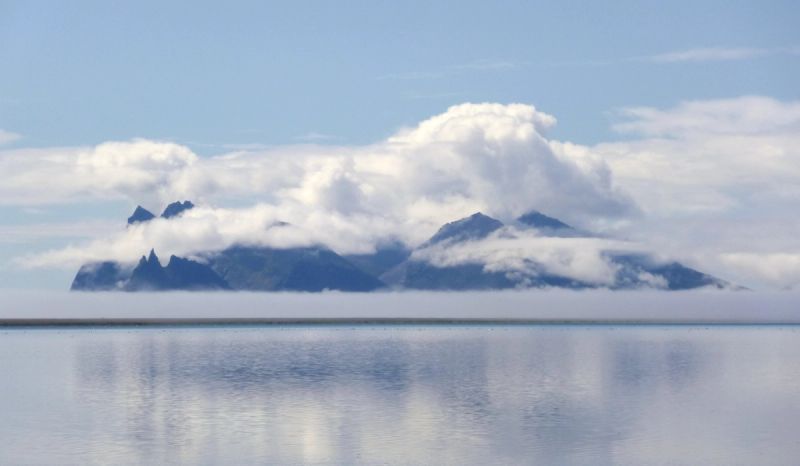

Vestrahorn
Batman Mountain
Vestrahorn's jagged 454m peaks create one of Iceland's most dramatic mountain profiles. Its nickname "Batman Mountain" comes from its distinctive silhouette. The black sand beach of Stokksnes provides perfect reflections.
Ráð fyrir Gesti
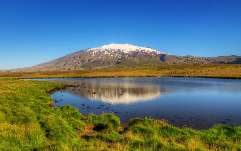
Snæfellsjökull
Journey to the Center of the Earth
This 1,446m glacier-capped stratovolcano towers over the Snæfellsnes Peninsula. Jules Verne chose it as the starting point for "Journey to the Center of the Earth." On clear days, it's visible from Reykjavík, 120km away.
Ráð fyrir Gesti
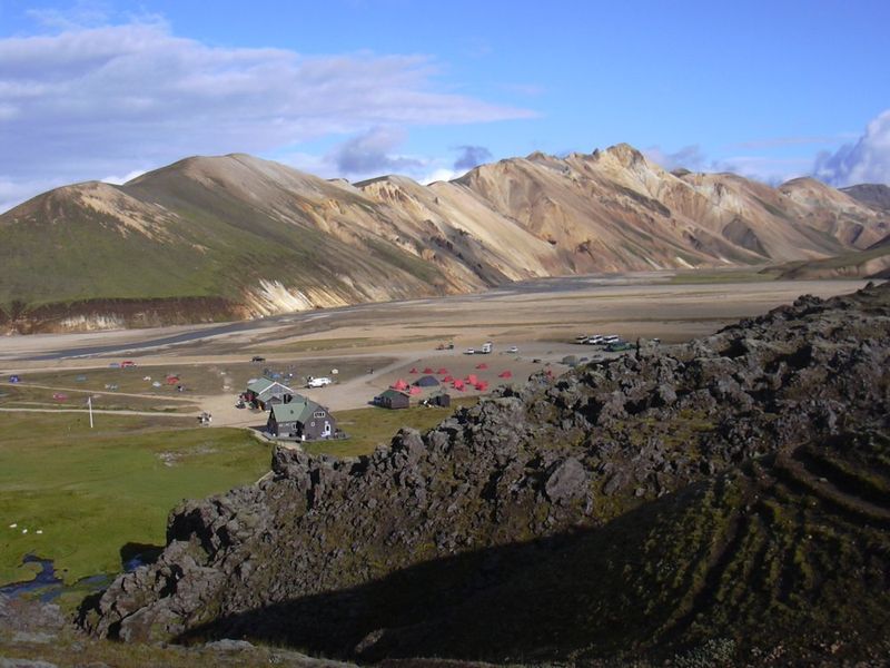
Landmannalaugar
Rhyolite Rainbow Mountains
Landmannalaugar's mountains showcase rhyolite geology in incredible colors - pink, green, yellow, blue, and black. This highland area at 600m elevation is the starting point for the famous Laugavegur hiking trail.
Ráð fyrir Gesti
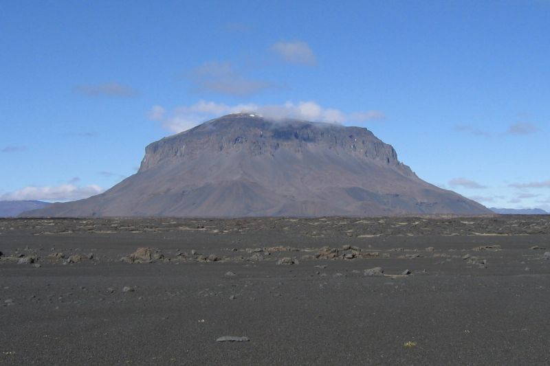
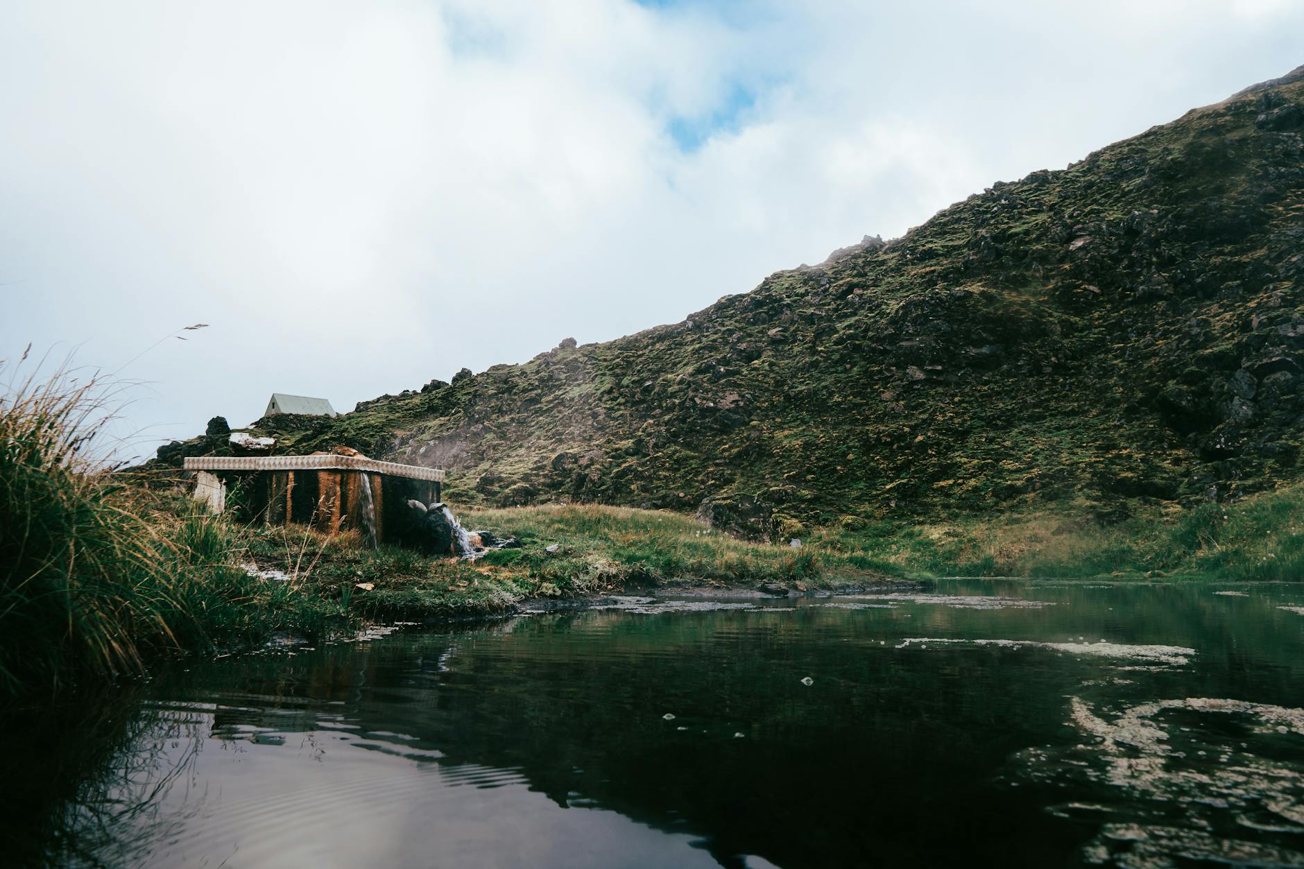
Herðubreið
Queen of Icelandic Mountains
Herðubreið (1,682m) is a magnificent table mountain formed by subglacial volcanic eruptions. Rising from the Ódáðahraun lava desert, its flat-topped peak and steep sides create a surreal, otherworldly landscape.
Ráð fyrir Gesti
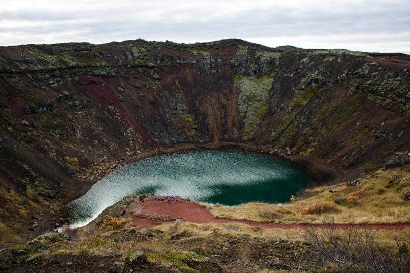
Askja & Víti
Volcanic Caldera Lake
Askja is a massive volcanic caldera in the remote Dyngjufjöll mountains. Within it lies Víti, a warm blue crater lake where you can swim, and Öskjuvatn, one of Iceland's deepest lakes at 220m.
Ráð fyrir Gesti
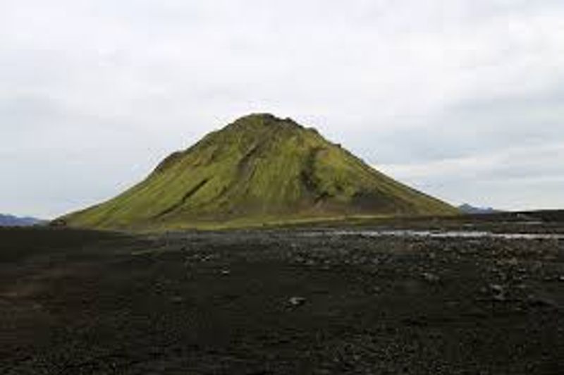
Mælifell
Green Pyramid in Black Desert
Mælifell is a perfect pyramid-shaped volcanic cone covered in vibrant green moss, rising 200m from the black Mýrdalssandur desert. The contrast between green mountain and black sand creates surreal photos.
Ráð fyrir Gesti
Eyjafjallajökull
The One Nobody Can Pronounce
Eyjafjallajökull (1,651m) became world-famous in 2010 when its eruption created massive flight disruptions. The glacier-capped stratovolcano overlooks the south coast, with waterfalls Seljalandsfoss and Skógafoss at its feet.
Ráð fyrir Gesti
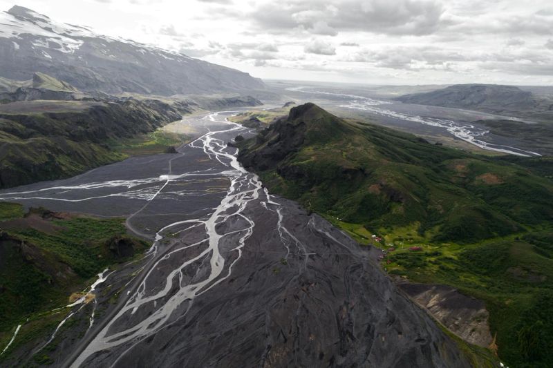
Þórsmörk
Thor's Forest
Þórsmörk is a mountain valley between three glaciers: Eyjafjallajökull, Mýrdalsjökull, and Tindfjallajökull. Protected from harsh winds, it's one of Iceland's most lush areas with birch forests and incredible hiking.
Ráð fyrir Gesti
Bláfjöll
Blue Mountains
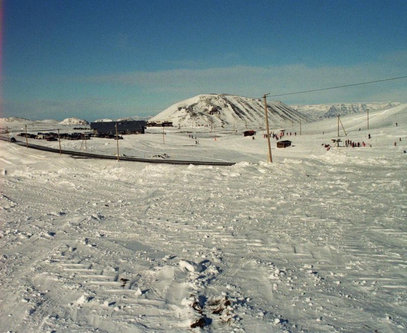
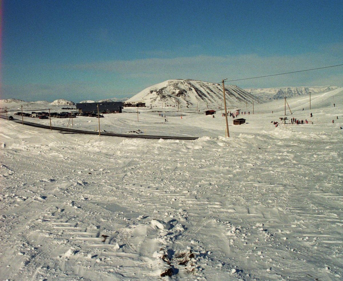
Bláfjöll, meaning 'Blue Mountains,' is a picturesque mountain range located just southeast of Reykjavík on the Reykjanes peninsula. Renowned for its winter sports facilities, it transforms into a bustling ski resort during the colder months, as vividly captured in the image with numerous skiers, buildings, and a network of power lines against the snow-covered slopes.
Ráð fyrir Gesti
Öll fjöll á Íslandi
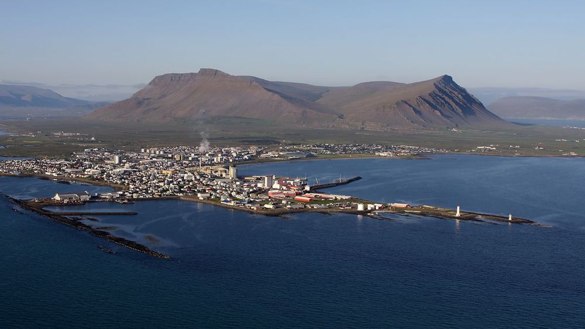
Akrafjall
west-iceland
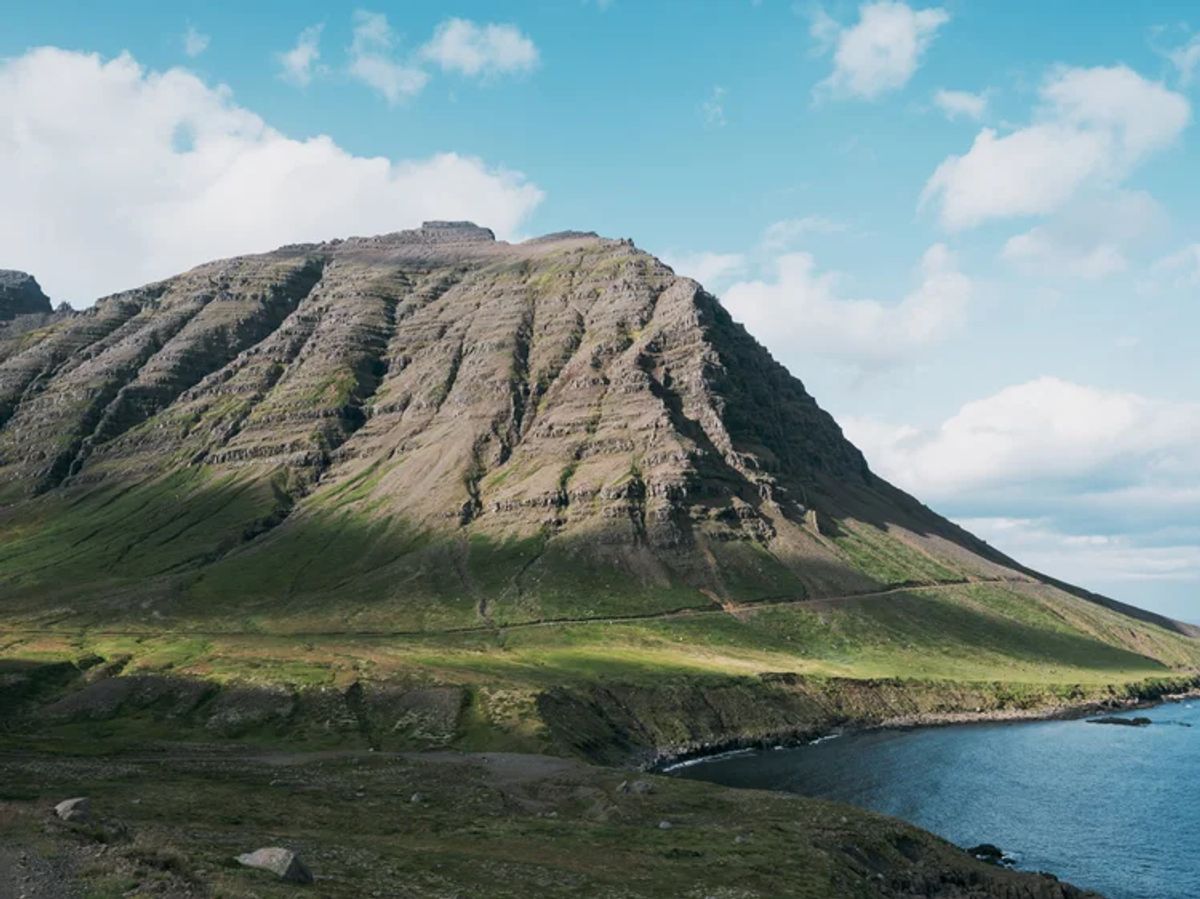
Akurfell
east-iceland
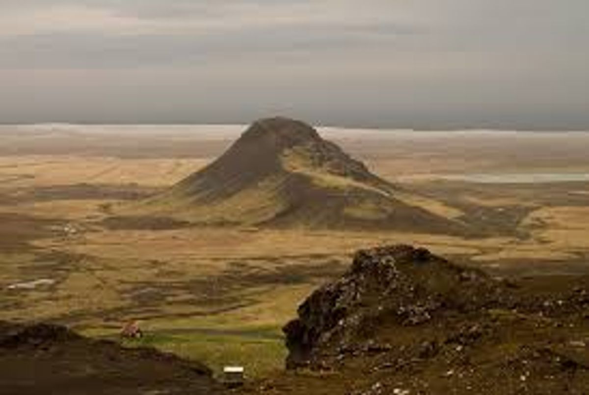
Arnarfell
reykjanes
Arnarfell hið mikla
south-iceland
Arnarfell Þingvellir
south-iceland
Axlir
westfjords
Barð
north-iceland
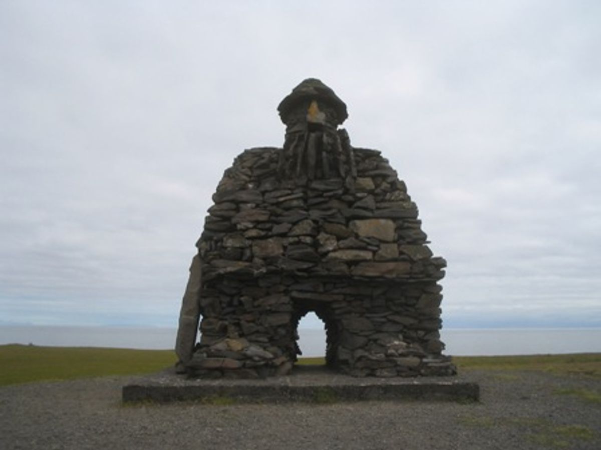
Bárður Snæfellsás
west-iceland
 Bookable Tour
Private Jökulsárlón Glacier Lagoon 2 Day Tour & Glacier Hike
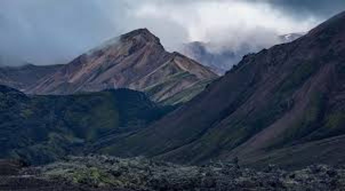
Barmur
westfjords
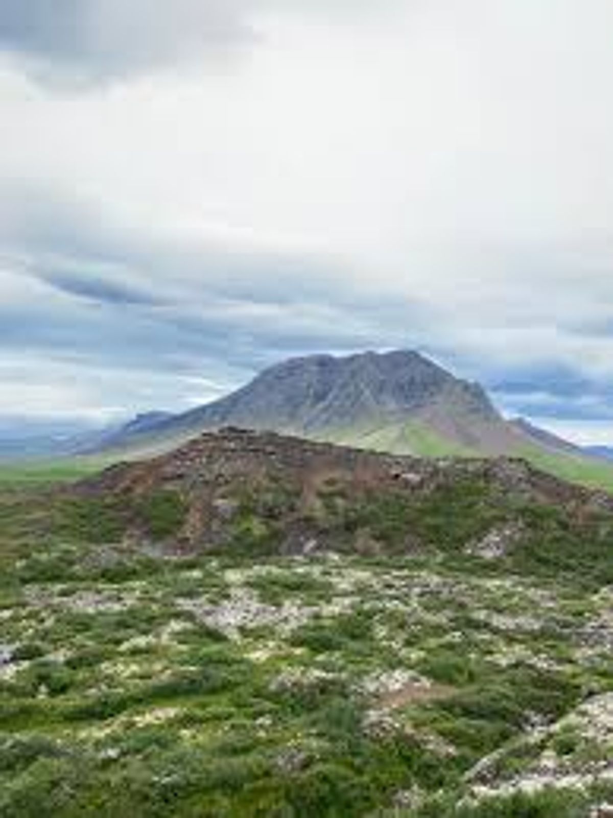
Barnaborgir
west-iceland
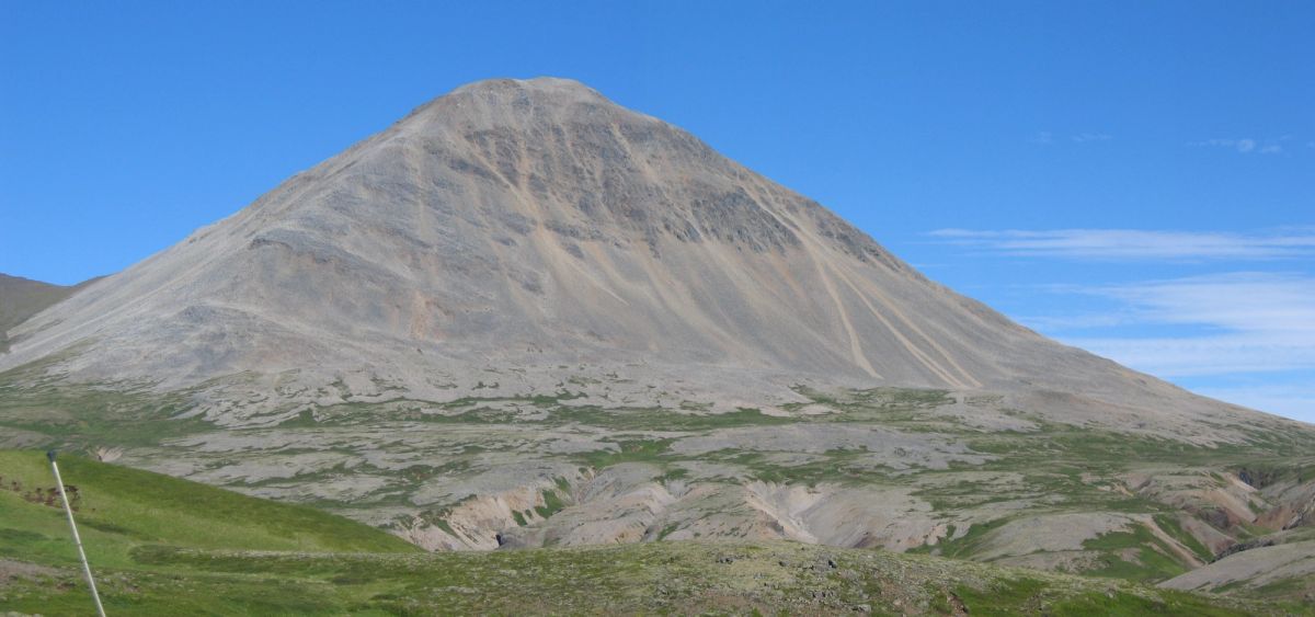
Baula
west-iceland
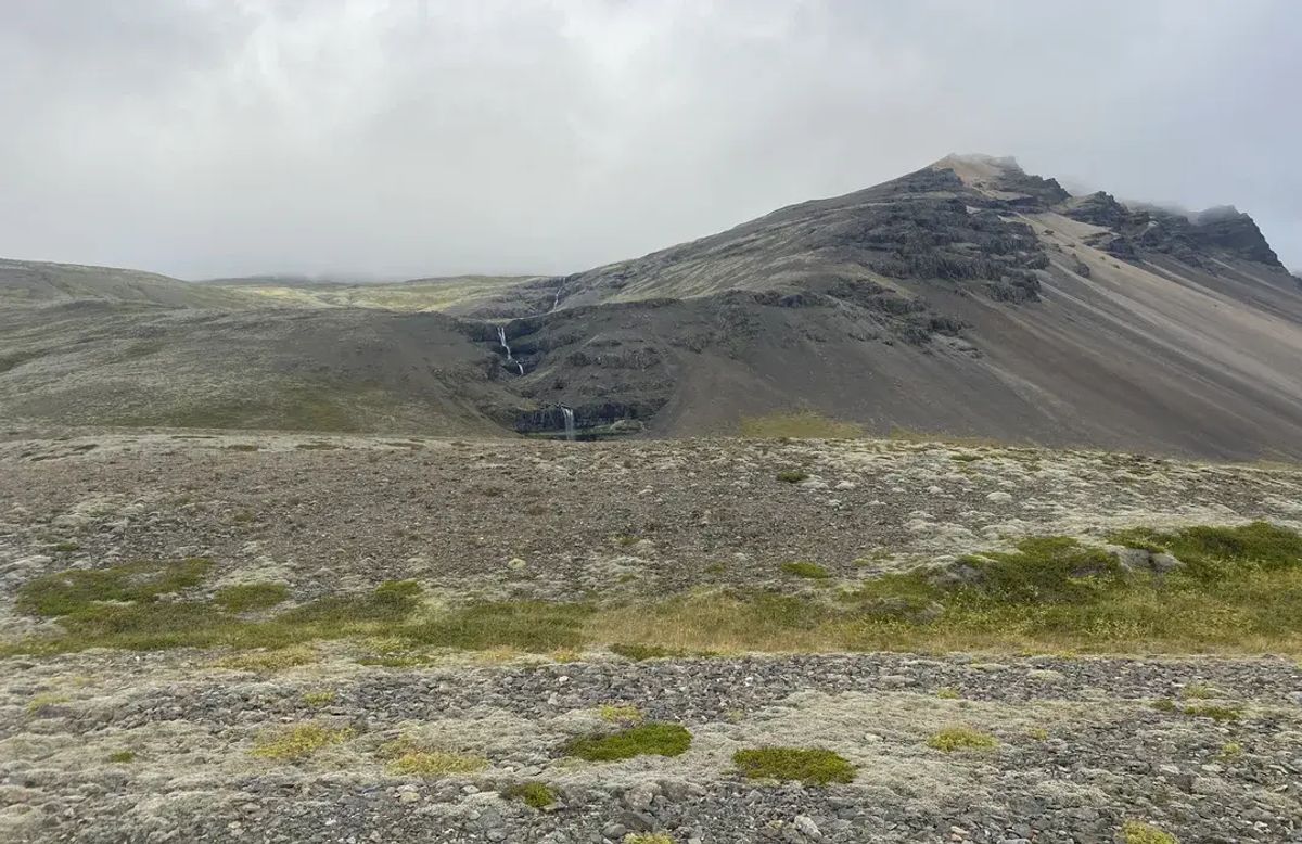
Bergárheiði
east-iceland
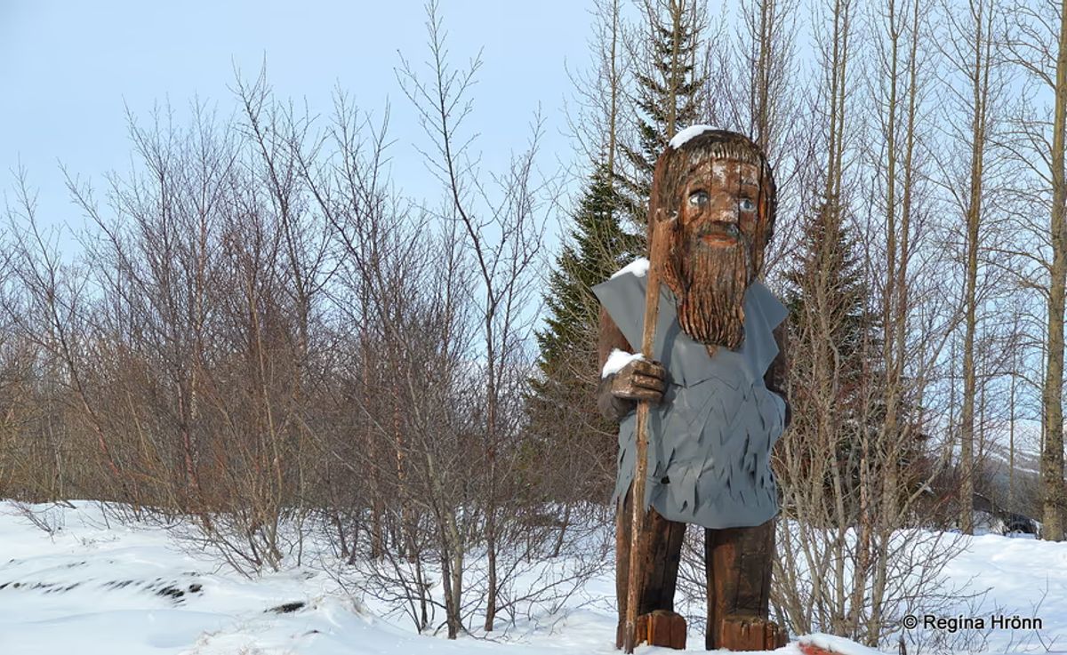
Bergþór úr Bláfelli
south-iceland
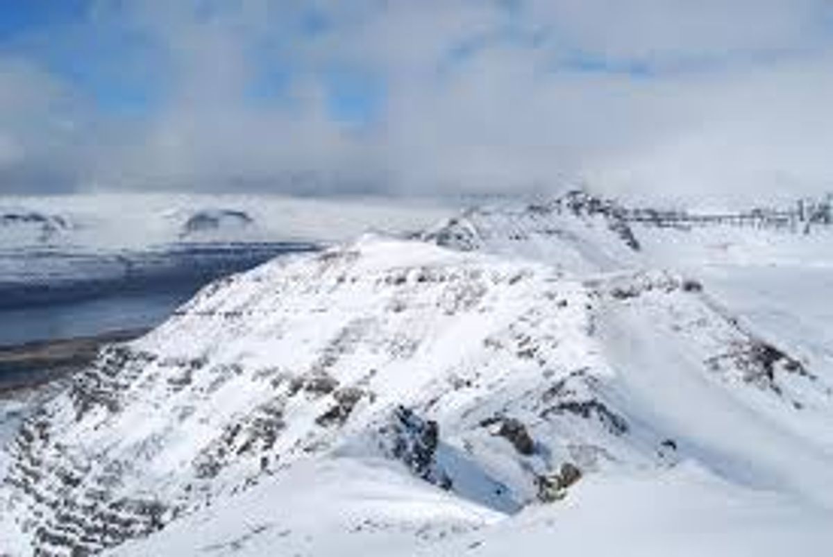
Berunestindur
east-iceland
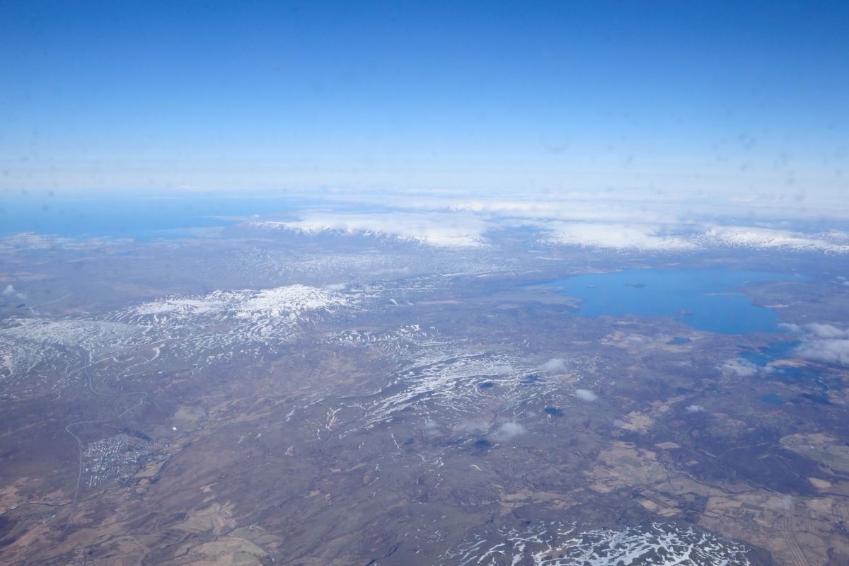
Bíldsfell
region-south-iceland
Bjálfafell
east-iceland
 Bookable Tour
Private 2-Day Glacier Lagoon, Ice Cave and Northern Lights
Bláfjöll
south-iceland
Bolafjall
westfjords
Bolafjall Cliff Trail
Westfjords
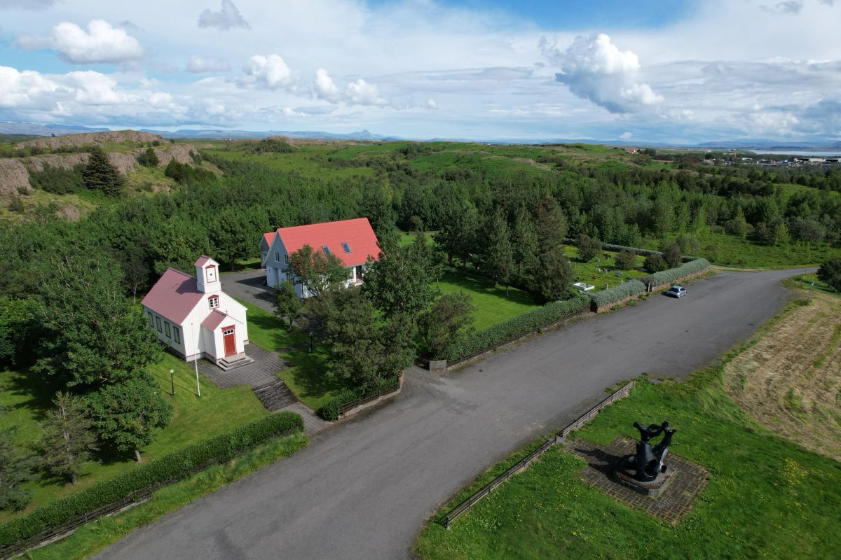
Borg á Mýrum
west-iceland
Borgir
north-iceland
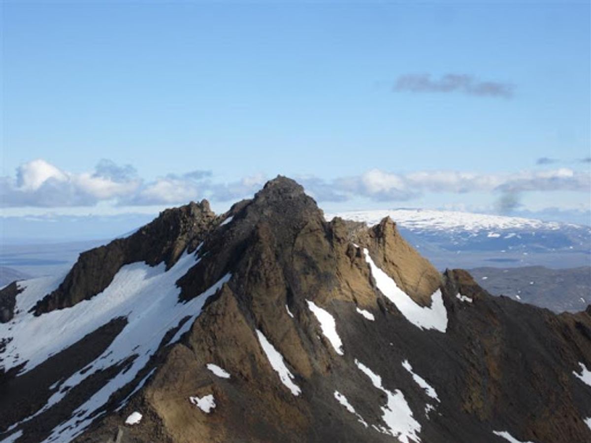
Botnssúlur
west-iceland
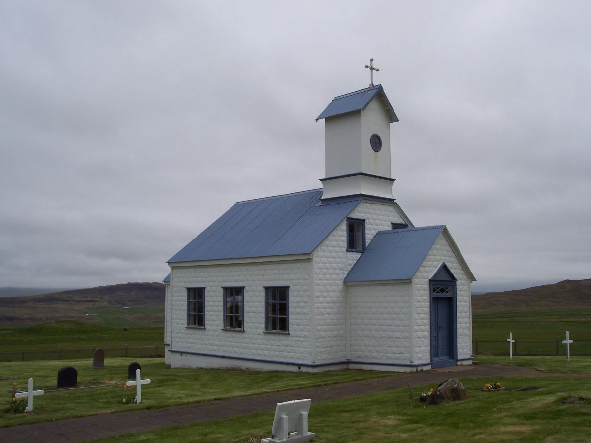
Breiðabólstaðarfjall
west-iceland
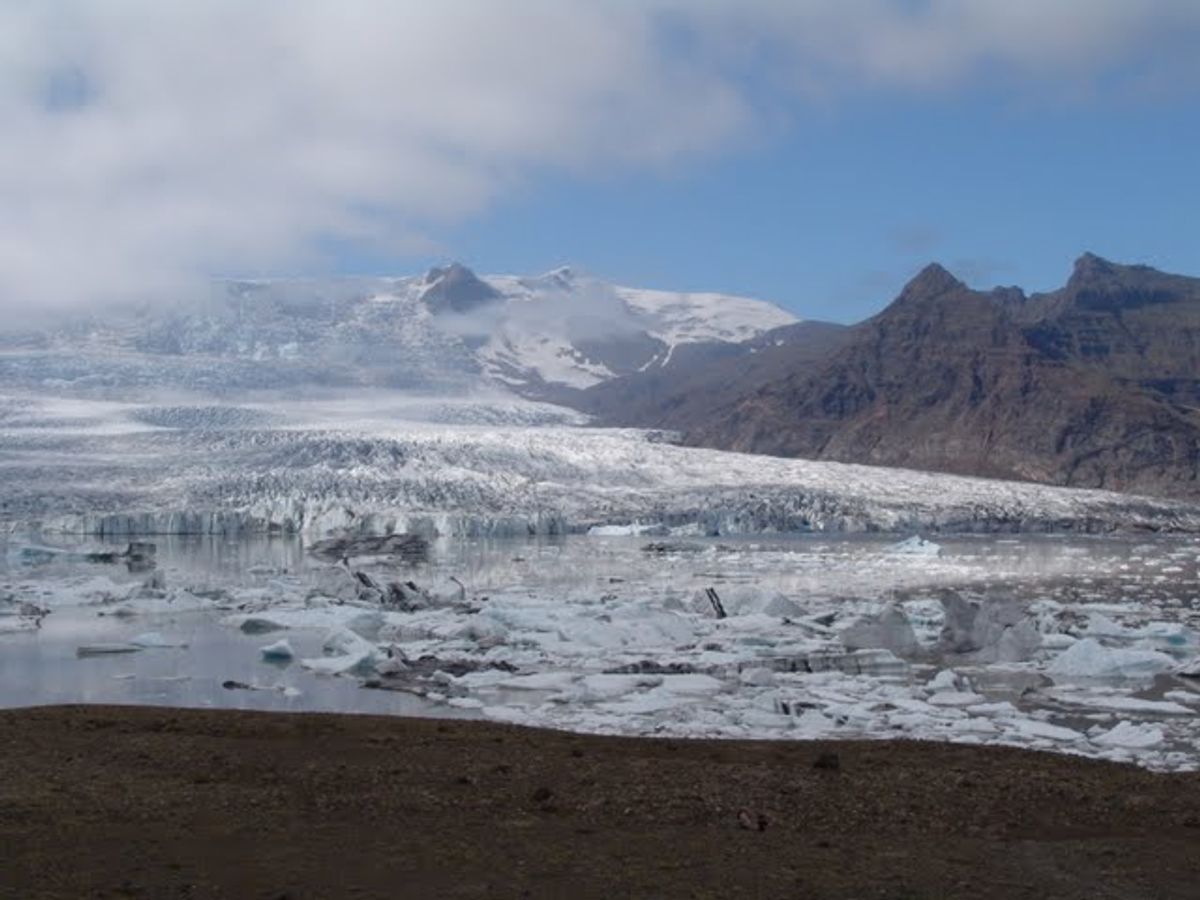
Breiðamerkurfjall Viewpoint
south-iceland
 Bookable Tour
Glacier Adventure at Sólheimajökull Private Tour
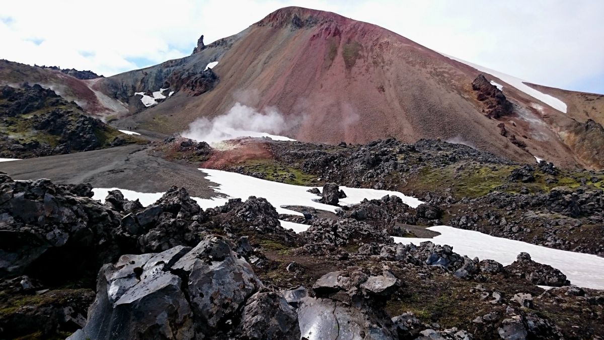
Brennisteinsalda Mountain
south-iceland
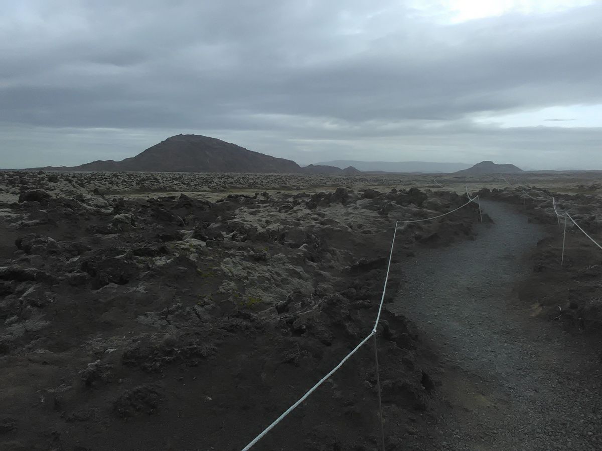
Brennisteinsfjöll
reykjanes
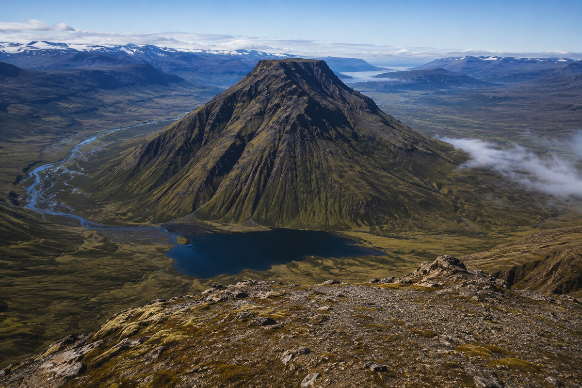
Bruni
westfjords
Accommodation
Gisting við Fjöll Íslands
Gistiheimili og hótel með fjallasýn og auðveldan aðgang að gönguleiðum
Affiliate links — we may earn a commission at no extra cost to you.
Algengar Spurningar
Hvert er hæsta fjall Íslands?
Hvannadalshnúkur í 2.110 m hæð er hæsti tindur Íslands, staðsettur á brún Öræfajökulls í Vatnajökulsþjóðgarði. Uppgöngu þarf leiðsögn á jökul og er best framkvæmd í maí–júlí.
Hvert er frægasta fjall Íslands?
Kirkjufell á Snæfellsnesi er mest ljósmyndaða fjall Íslands — sérstakur örvahjálmur-lagaður tindur við fossinn Kirkjufellsfoss. Það varð þekkt á alþjóðavísu eftir að kynna sig í Game of Thrones.
Geta byrjendur gengið upp á fjöll á Íslandi?
Já — Esja nálægt Reykjavík og Skálafell á Austurlandi eru frábær val fyrir byrjendur. Margir toppar krefjast engrar tæknilegrar klettaklifurfærni. Taktu alltaf með þig lag, vatnsheldur fatnað og athugaðu veðurspána áður en þú ferð, þar sem aðstæður geta breyst snögglega.
Þarf ég leiðsögumann til að klifra íslensk fjöll?
Flest aðgengileg fjöll má ganga upp á sjálfstætt með viðeigandi búnað og leiðsögnarfærni. Tæknilegar leiðir á jöklavarar toppar eins og Hvannadalshnúkur krefjast vottunarþurfa leiðsögumanna. Skráðu alltaf gönguna þína á safetravel.is og athugaðu vegafarar.
Hvenær er best að ganga upp á fjöll á Íslandi?
Júní til september er aðalgöngutímabilið þegar F-vegar og hálendisleiðir eru opnar. Júlí og ágúst bjóða upp á áreiðanlegast veður. Vor (maí) og haust (október) henta reyndum göngumönnum sem kjósa færri mannfjölda og dramatískt ljós.
🌌 See the Northern Lights
Track real-time aurora activity and plan your Northern Lights trip with AuroraVision.
Find Hotels in South Iceland
From cozy Reykjavík guesthouses to remote Highland lodges — thousands of properties with free cancellation and best price guarantee.
Tours & Experiences
Book Activities in Iceland
Tours & Activities
Book top-rated Iceland tours, day trips, and experiences — Northern Lights, glacier hikes, whale watching and more.
Browse Activities →Guided Iceland Tours
Golden Circle, South Coast, ice caves, volcano hikes — 1,000+ guided tours with free cancellation on most bookings.
Browse Tours →Guided Experiences
Tours & Day Trips in Iceland
Golden Circle, Northern Lights hunts, whale watching, glacier hikes, lava cave tours and more. Book with free cancellation — confirmed instantly.


