
斯塔姆帕尔火山口群
斯塔姆帕尔火山口群展现了冰岛火山核心的原始而强大的景象,黑暗崎岖的熔岩地貌在此占据主导。站在这片戏剧性的土丘上,游客可以一览雷克雅内斯半岛的广阔,这是冰岛地质活力的明证。
关于
关于斯塔姆帕尔火山口群
斯塔姆帕尔火山口群展现了冰岛火山核心的原始而强大的景象,黑暗崎岖的熔岩地貌在此占据主导。站在这片戏剧性的土丘上,游客可以一览雷克雅内斯半岛的广阔,这是冰岛地质活力的明证。
斯塔姆帕尔火山口群附近的旅游

South Coast Tour - Black Sand Beach, Plane wreck, Skogafoss, Seljalandsfoss guided in Chinese冰岛南岸黑沙滩飞机残骸中文一日团
Magic Iceland Travel · 10 hours 30 minutes
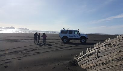
DT 322 Private Superjeep South Coast & Eyjafjallajökull Volcano Sights
Superjeep · 8 hours
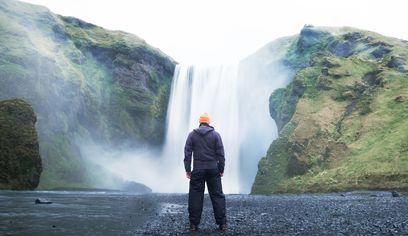
South Coast Waterfalls, Glacier & Black Sand Beach Tour
BusTravel Iceland · 10 hours
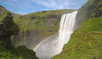
South Coast Small Group Tour: Waterfalls, Glacier & Black Sand Beach
BusTravel Iceland · 10 hours
照片
图库
背景
历史与背景
斯塔姆帕尔火山口群的历史深深地刻在地球本身的构造中,可以追溯到古老的地质时期。这个地点证明了持续塑造冰岛的巨大火山力量。更准确地讲,它被称为“火山口群”(冰岛语为Stampar gígaröð),它表示一系列的火山口,而不是一个单一的大型火山口,是在过去火山喷发期间岩浆沿着裂缝冲破地表时形成的。 它的重要性在于它位于雷克雅内斯半岛的西侧,直接位于大西洋中脊之上。这使得斯塔姆帕尔成为冰岛独特地质位置的典型例子,冰岛是地球上火山活动最活跃的地区之一。今天可见的黑暗、崎岖的熔岩代表着这些古老熔岩流的凝固残余物,提供了与地球不安内部的切实联系。这些地貌构成了雷克雅内斯地区崎岖、超凡脱俗的景观特征,使其成为理解冰岛地质演变的关键地点。
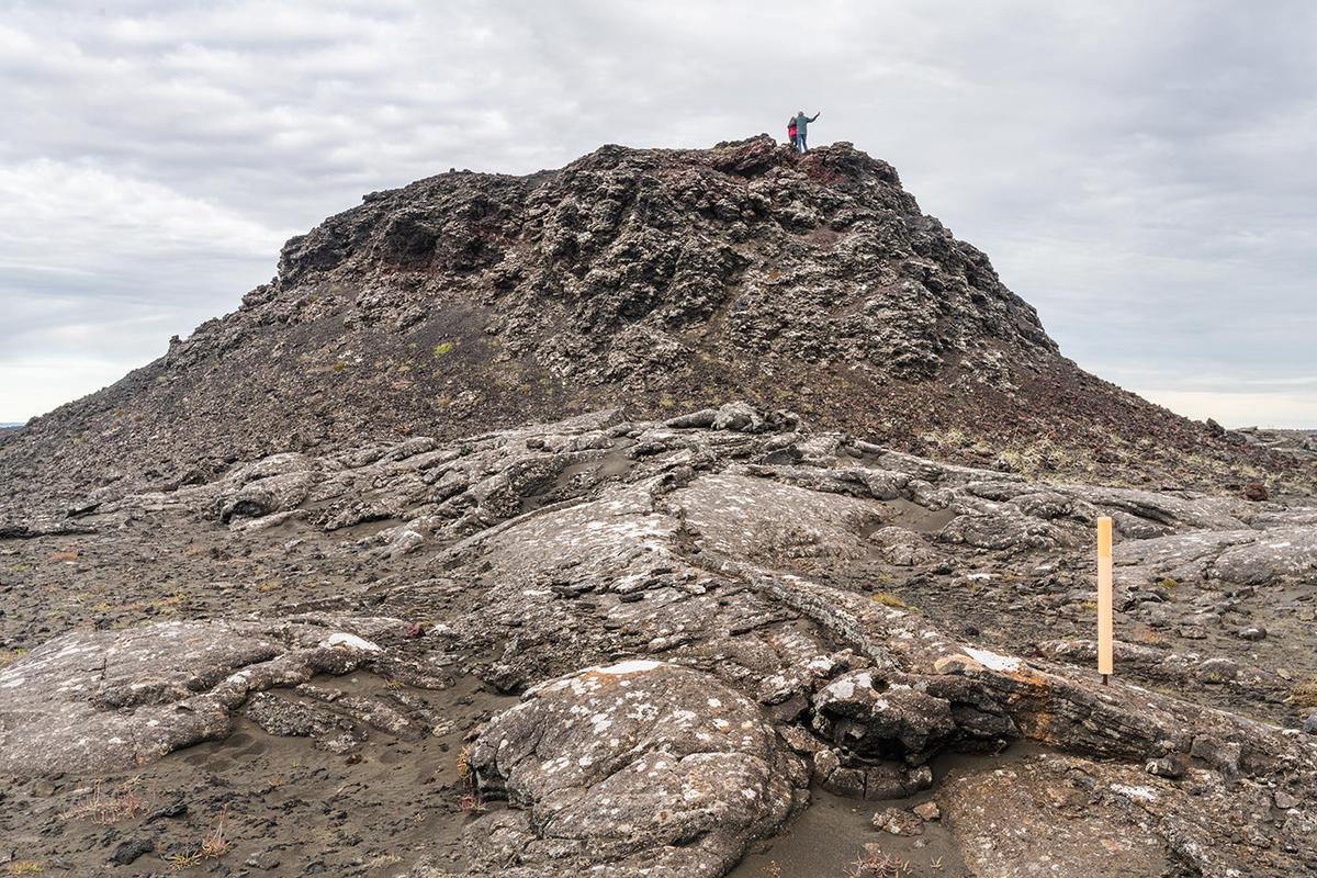
斯塔姆帕尔火山口,更准确地说是斯塔姆帕尔火山口群(冰岛语为Stampar gígaröð),是位于雷克雅内斯半岛西侧一个显著的地质特征。该地点提供了对冰岛强烈火山活动的深刻洞察,直接坐落在大西洋中脊之上。正如图片所示,景观以黑暗、崎岖的熔岩地貌为主,主锥形土丘下方和周围是各种纹理的凝固岩浆。游客可以探索古老的熔岩地,观察过去火山喷发形成的复杂图案,一些岩石上还覆盖着白色的地衣斑块。图片中两名站在山顶的人影,突显了攀爬的易达性与戏剧性。虽然不如冰岛一些近期火山喷发地点那样明显引人注目,但斯塔姆帕尔火山口群提供了深刻的地质时间感和持续塑造这片最年轻土地的原始力量。它是摄影师和地质爱好者绝佳的去处,提供了冰岛火山核心独有的粗犷而强大的美。建议穿着适合在崎岖不平、多岩石地面行走的坚固鞋履。
民间故事
故事与民间故事
踏上斯塔姆帕尔火山口群黑暗、破碎的土地,人们能感受到冰岛古老的脉搏。这里不仅仅是一片风景;它是一部由熔岩和天空书写的活生生的史诗。脚下崎岖、有纹理的岩石,有些点缀着白色地衣,讲述着数千年来塑造这片土地的火山喷发故事。上方,两个人影站在主山丘顶端,被火山构造的巨大规模所衬托,他们张开双臂,仿佛拥抱着雷克雅内斯半岛的原始力量。多云的冰岛天空增添了戏剧性的背景,强调了这片土地的原始之美。在这里,大西洋中脊撕裂着大地,每一步穿过凝固的岩浆都是一次穿越地质时间的旅程,与地球不安的心脏建立起深刻的联系。
文化
故事与传说
来自该地区的冰岛传奇和民间故事
位置
位置
探索更多