
アイスランドの山岳
キルキュフェルの象徴的な山頂からヘルズブレイズの遠隔地のテーブルマウンテンまで、アイスランドの山々は世界で最もドラマチックなハイキングと写真撮影の機会を提供します。
アイスランドの山々は火山活動、氷河侵食、プレートテクトニクスによって形成され、完全に対称な火山コーンから劇的な平坦な頂上を持つテーブルマウンテン、鮮やかな色彩に染まった鋸歯状のリョリライト山脈まで様々な山頂があります。
最も有名なのは Kirkjufell スナイフェルスネス半島にある山で、アイスランドで最も写真に撮られる山です。しかし、ほぼすべての地域に地元の風景を定義する独自の象徴的な山頂があります。
アイスランドの多くの山は、技術的な登山経験なしに体力のある訪問者が登ることができます。レイキャビク近郊のエシャ山は国内で最も人気のあるハイキング目的地の一つです。高地の山は4WDアクセスが必要で、夏季のみ訪問可能です。
計画のヒント
アイスランドの注目すべき山々
アイスランドの最も象徴的な山々
火山コーンから氷河の山頂まで — ハイキング、写真撮影、そして劇的な景観。

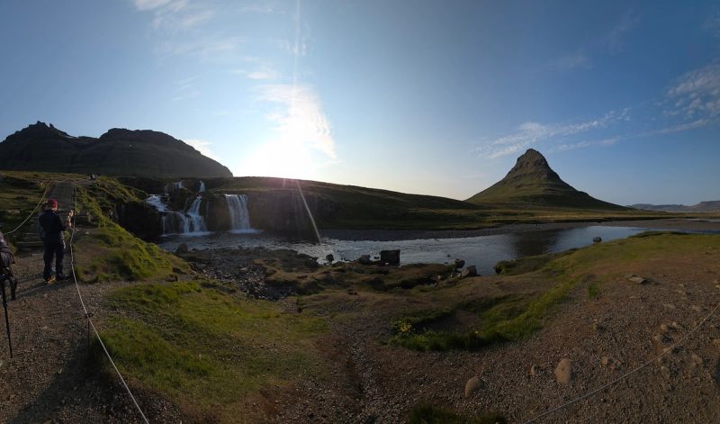
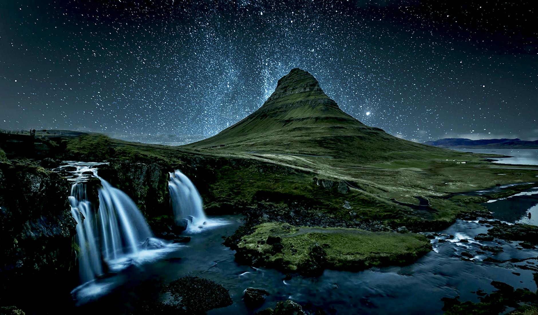
Kirkjufell
Iceland's Most Photographed Mountain
Kirkjufell (Church Mountain) rises 463m above the Snæfellsnes Peninsula, creating one of Iceland's most iconic silhouettes. Its distinctive cone shape and nearby waterfall Kirkjufellsfoss make it the most photographed mountain in Iceland.
訪問者のヒント
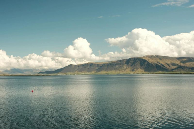

Mount Esja
Reykjavík's Backyard Mountain
Esja dominates Reykjavík's skyline at 914m. Multiple hiking trails lead to various peaks, with the most popular route taking 2-3 hours to reach Þverfellshorn (780m). The views over Reykjavík and Faxaflói Bay are spectacular.
訪問者のヒント
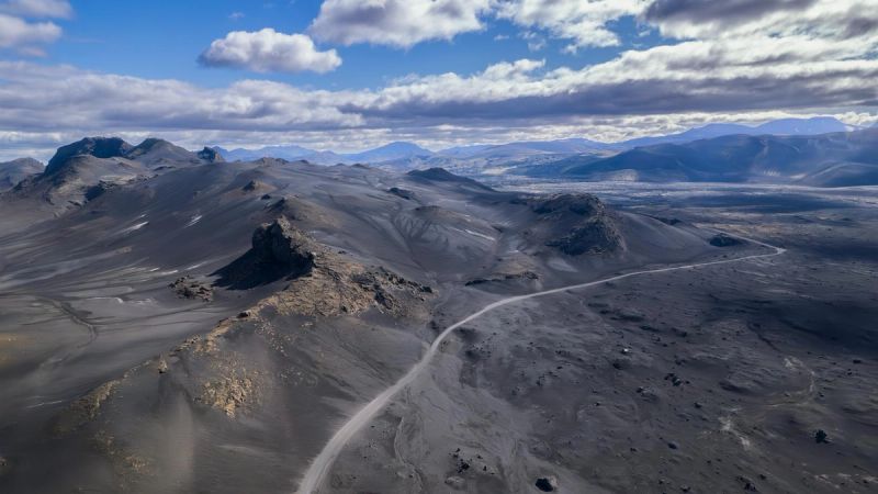
Mount Hekla
Gateway to Hell
Hekla (1,491m) is one of Iceland's most active and notorious volcanoes, erupting over 20 times since 874. In medieval times, Europeans believed it was the entrance to Hell. The 4-hour summit hike requires experience and good conditions.
訪問者のヒント
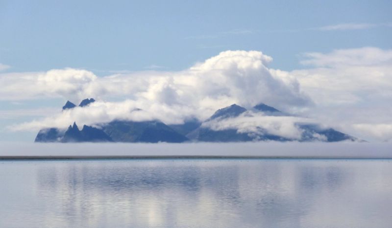

Vestrahorn
Batman Mountain
Vestrahorn's jagged 454m peaks create one of Iceland's most dramatic mountain profiles. Its nickname "Batman Mountain" comes from its distinctive silhouette. The black sand beach of Stokksnes provides perfect reflections.
訪問者のヒント
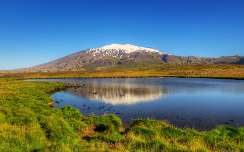
Snæfellsjökull
Journey to the Center of the Earth
This 1,446m glacier-capped stratovolcano towers over the Snæfellsnes Peninsula. Jules Verne chose it as the starting point for "Journey to the Center of the Earth." On clear days, it's visible from Reykjavík, 120km away.
訪問者のヒント
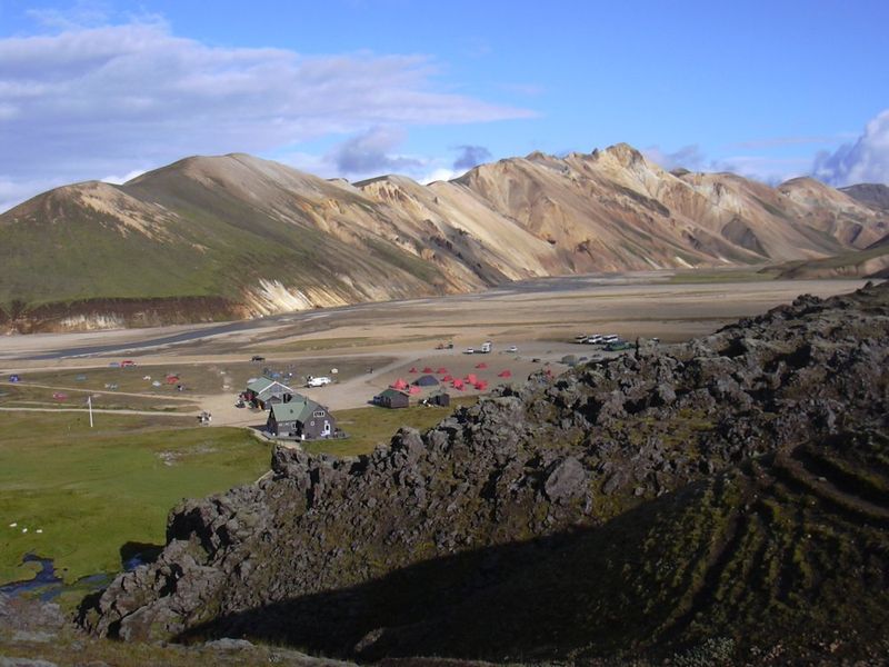
Landmannalaugar
Rhyolite Rainbow Mountains
Landmannalaugar's mountains showcase rhyolite geology in incredible colors - pink, green, yellow, blue, and black. This highland area at 600m elevation is the starting point for the famous Laugavegur hiking trail.
訪問者のヒント
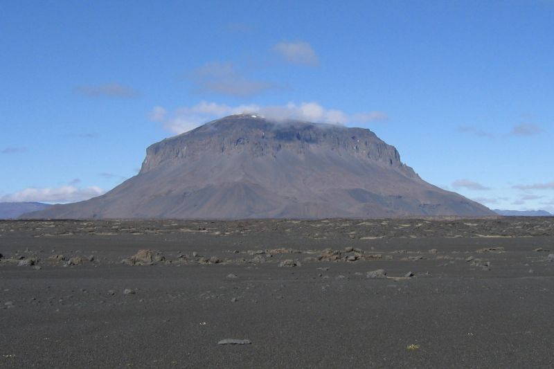
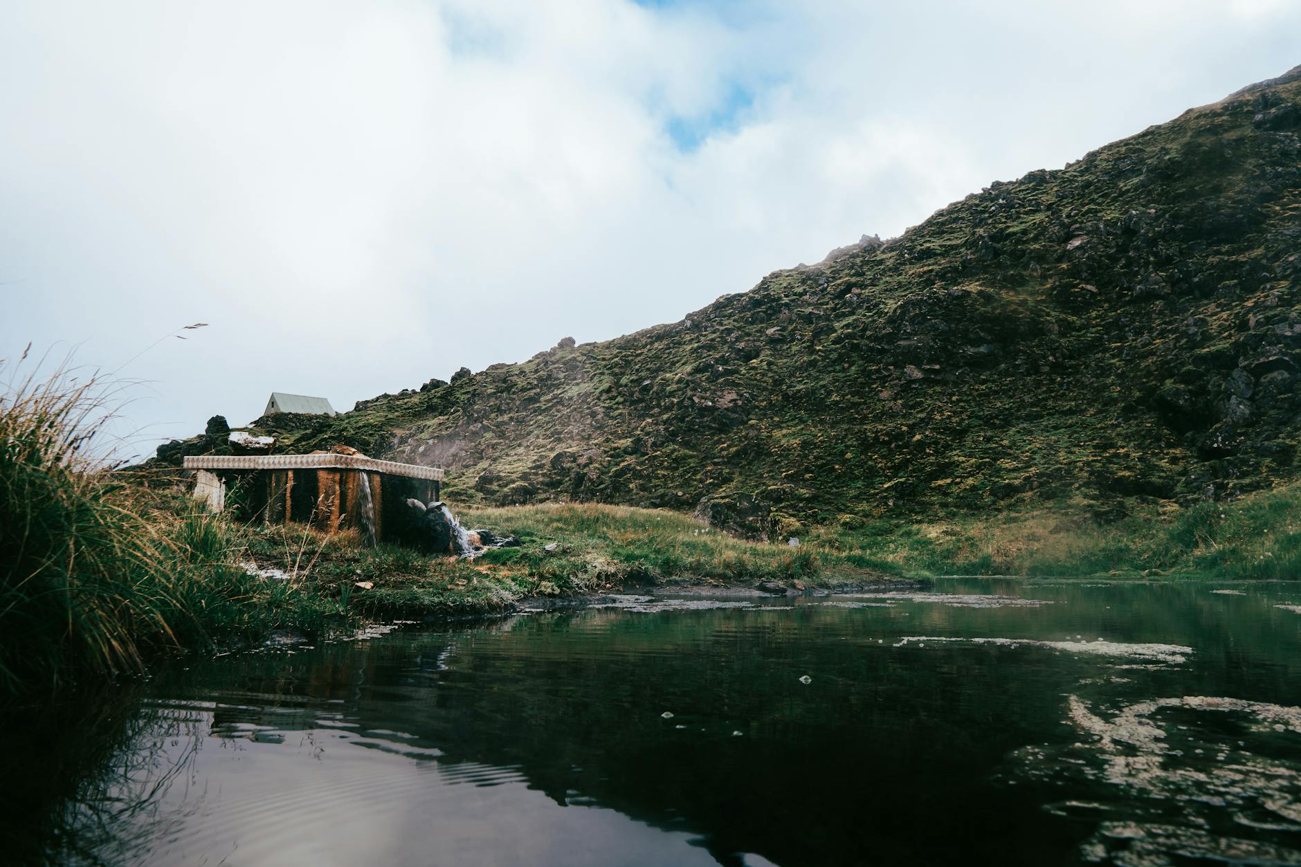
Herðubreið
Queen of Icelandic Mountains
Herðubreið (1,682m) is a magnificent table mountain formed by subglacial volcanic eruptions. Rising from the Ódáðahraun lava desert, its flat-topped peak and steep sides create a surreal, otherworldly landscape.
訪問者のヒント
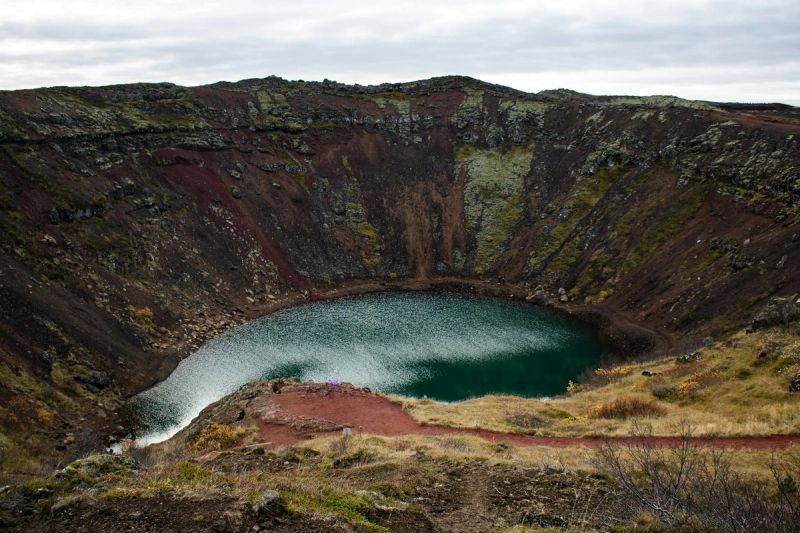
Askja & Víti
Volcanic Caldera Lake
Askja is a massive volcanic caldera in the remote Dyngjufjöll mountains. Within it lies Víti, a warm blue crater lake where you can swim, and Öskjuvatn, one of Iceland's deepest lakes at 220m.
訪問者のヒント
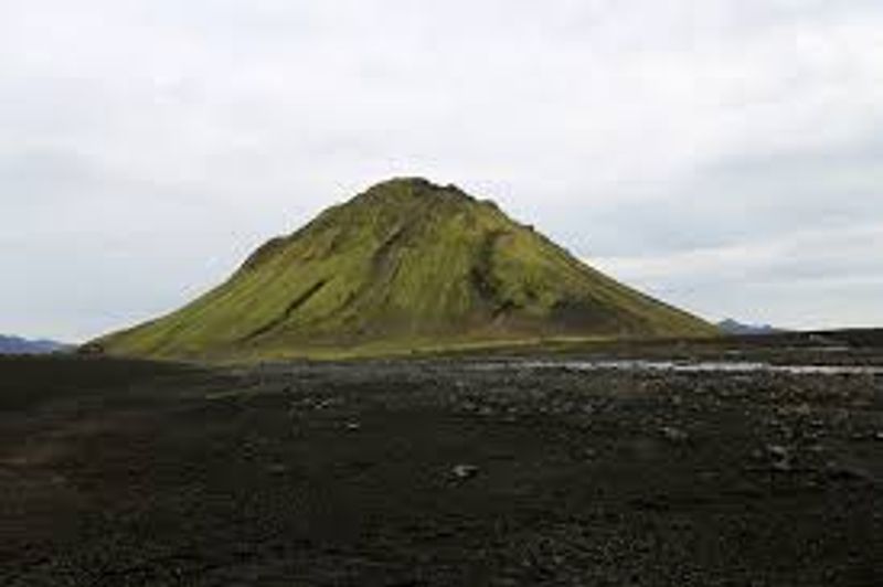
Mælifell
Green Pyramid in Black Desert
Mælifell is a perfect pyramid-shaped volcanic cone covered in vibrant green moss, rising 200m from the black Mýrdalssandur desert. The contrast between green mountain and black sand creates surreal photos.
訪問者のヒント
Eyjafjallajökull
The One Nobody Can Pronounce
Eyjafjallajökull (1,651m) became world-famous in 2010 when its eruption created massive flight disruptions. The glacier-capped stratovolcano overlooks the south coast, with waterfalls Seljalandsfoss and Skógafoss at its feet.
訪問者のヒント
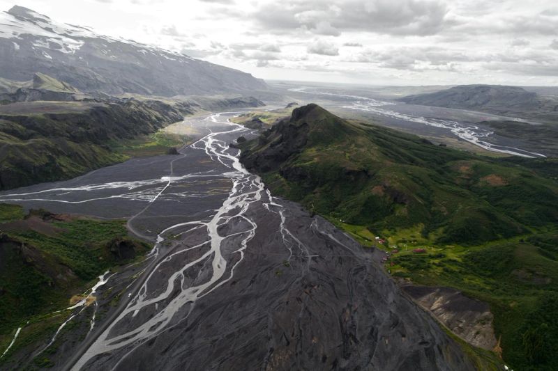
Þórsmörk
Thor's Forest
Þórsmörk is a mountain valley between three glaciers: Eyjafjallajökull, Mýrdalsjökull, and Tindfjallajökull. Protected from harsh winds, it's one of Iceland's most lush areas with birch forests and incredible hiking.
訪問者のヒント
Bláfjöll
Blue Mountains
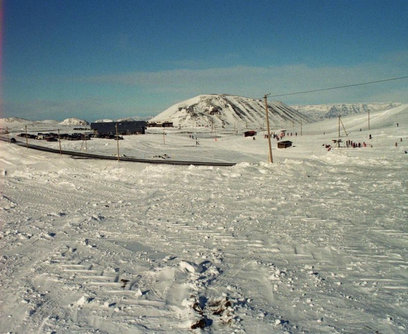
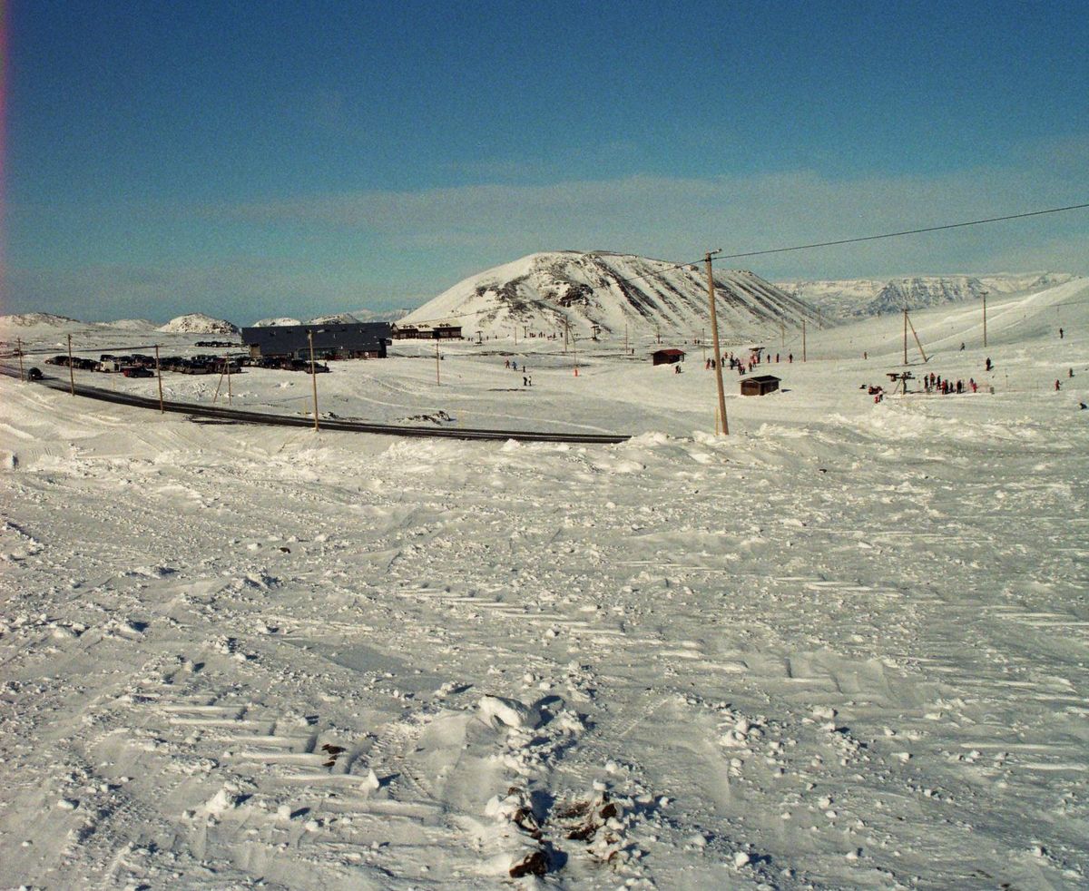
Bláfjöll, meaning 'Blue Mountains,' is a picturesque mountain range located just southeast of Reykjavík on the Reykjanes peninsula. Renowned for its winter sports facilities, it transforms into a bustling ski resort during the colder months, as vividly captured in the image with numerous skiers, buildings, and a network of power lines against the snow-covered slopes.
訪問者のヒント
アイスランドのすべての山々
Akrafjall
west-iceland
Akurfell
east-iceland
Arnarfell
reykjanes
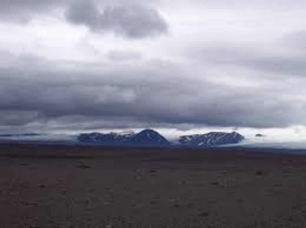
Arnarfell hið mikla
south-iceland
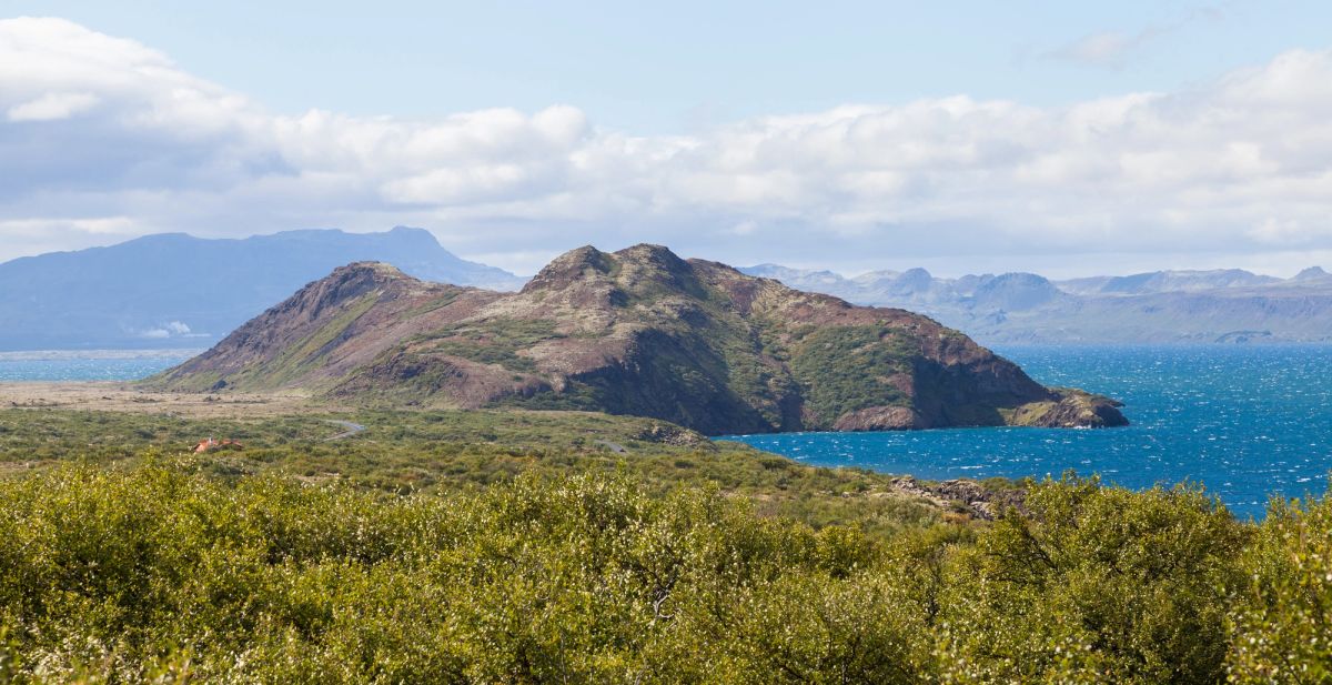
Arnarfell Þingvellir
south-iceland
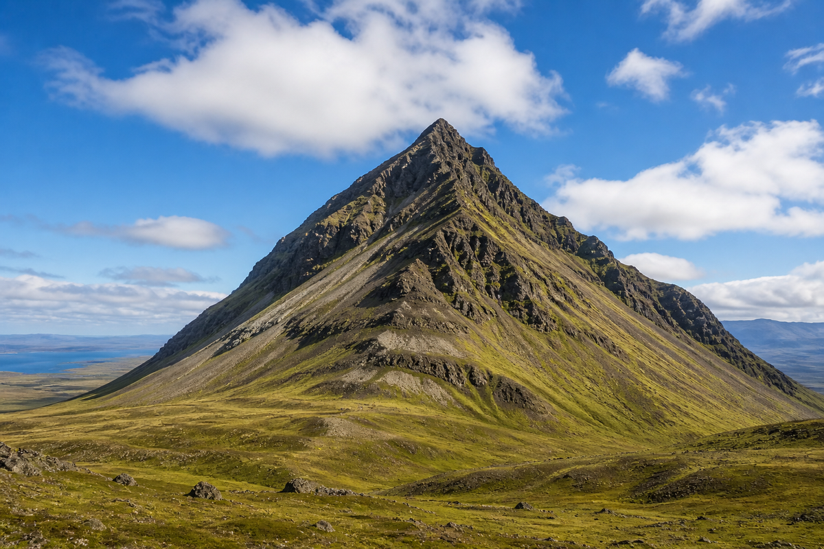
Axlir
westfjords
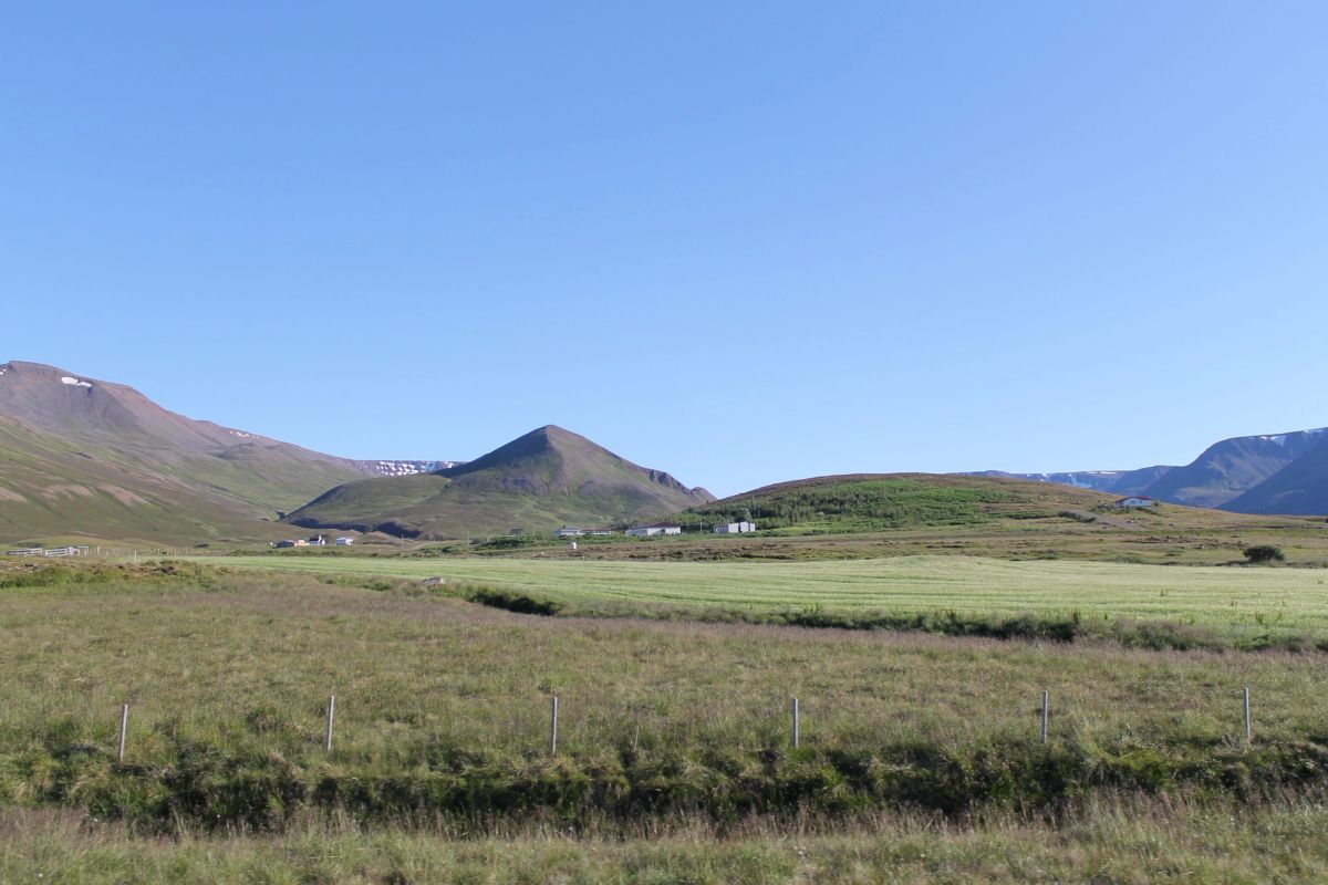
Barð
north-iceland
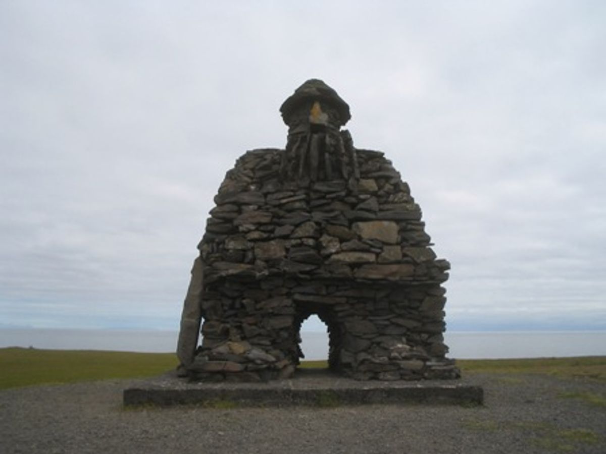
Bárður Snæfellsás
west-iceland
 Bookable Tour
プライベートヨークルスアゥルロゥン氷河湖2日ツアー&氷河ハイキング
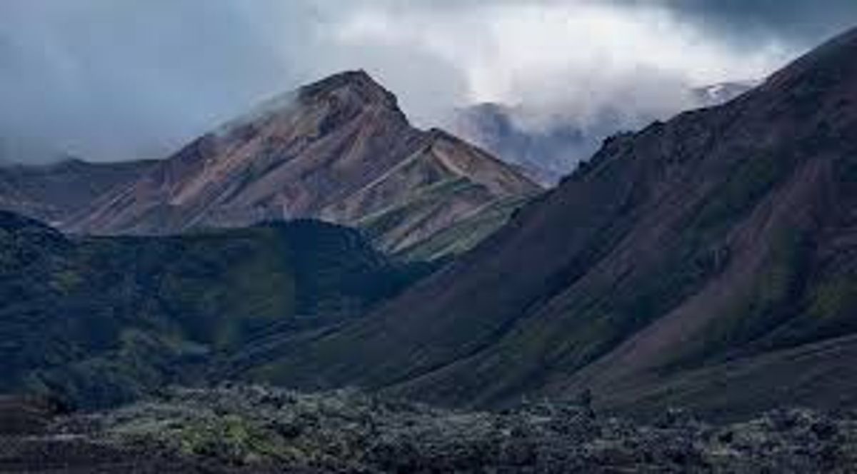
Barmur
westfjords
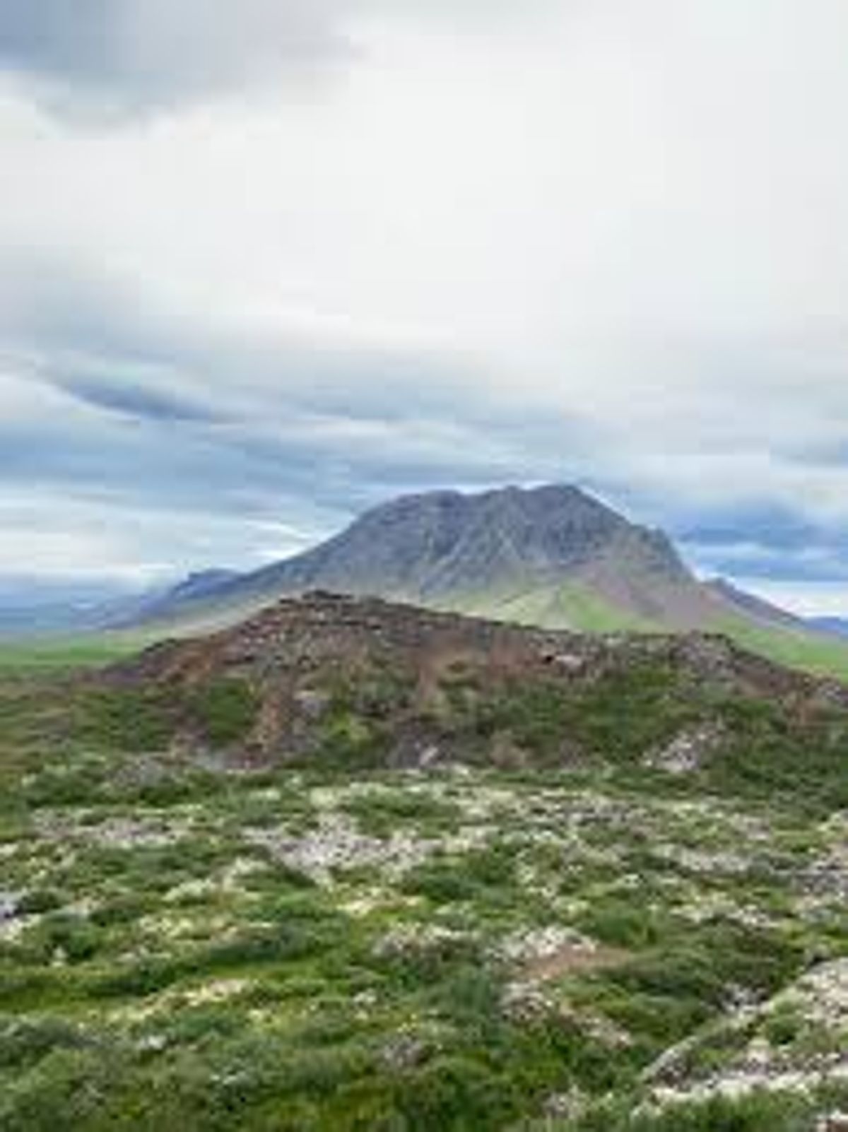
Barnaborgir
west-iceland
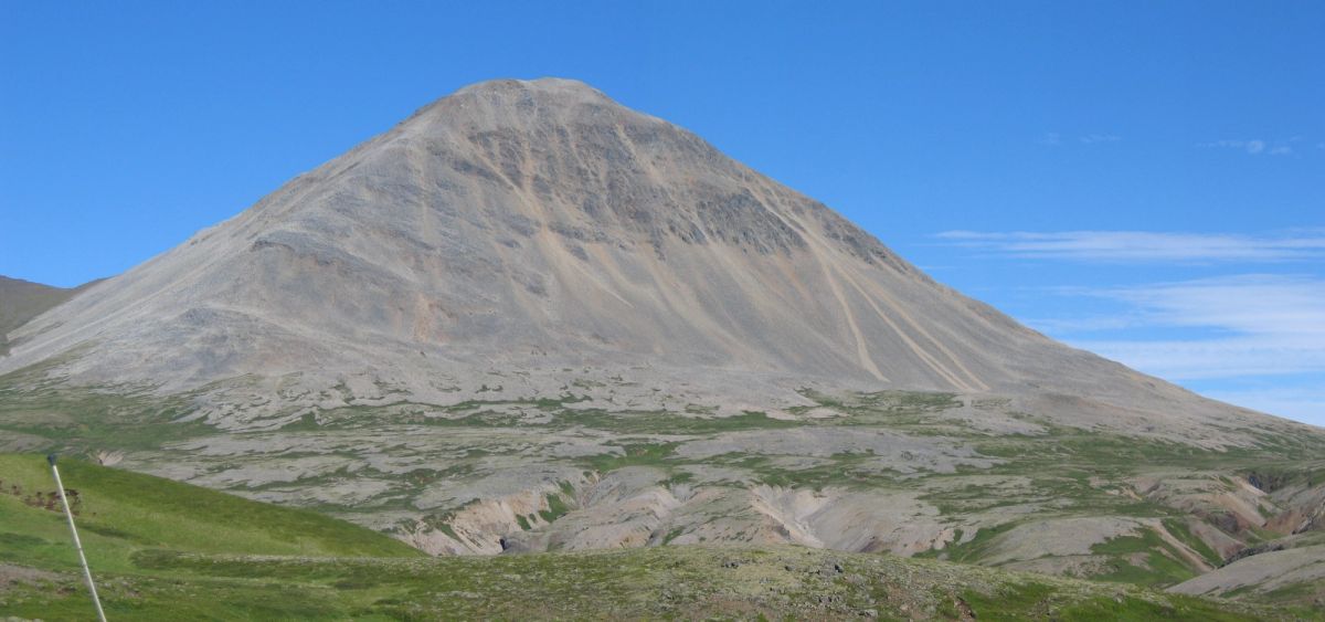
Baula
west-iceland
Bergárheiði
east-iceland
Bergþór úr Bláfelli
south-iceland
Berunestindur
east-iceland
Bíldsfell
region-south-iceland
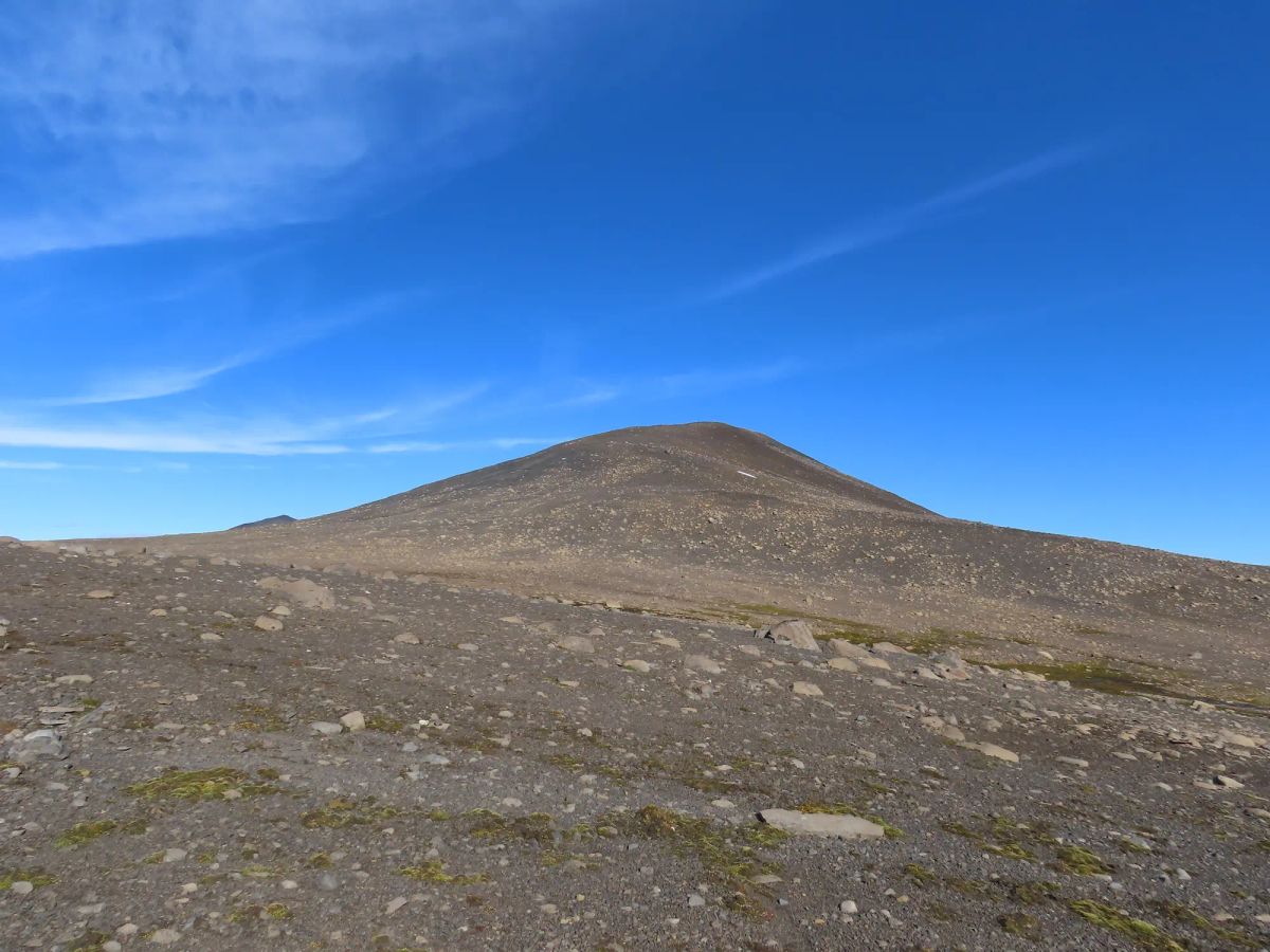
Bjálfafell
east-iceland
 Bookable Tour
プライベート2日間氷河湖、氷の洞窟、オーロラ
Bláfjöll
south-iceland
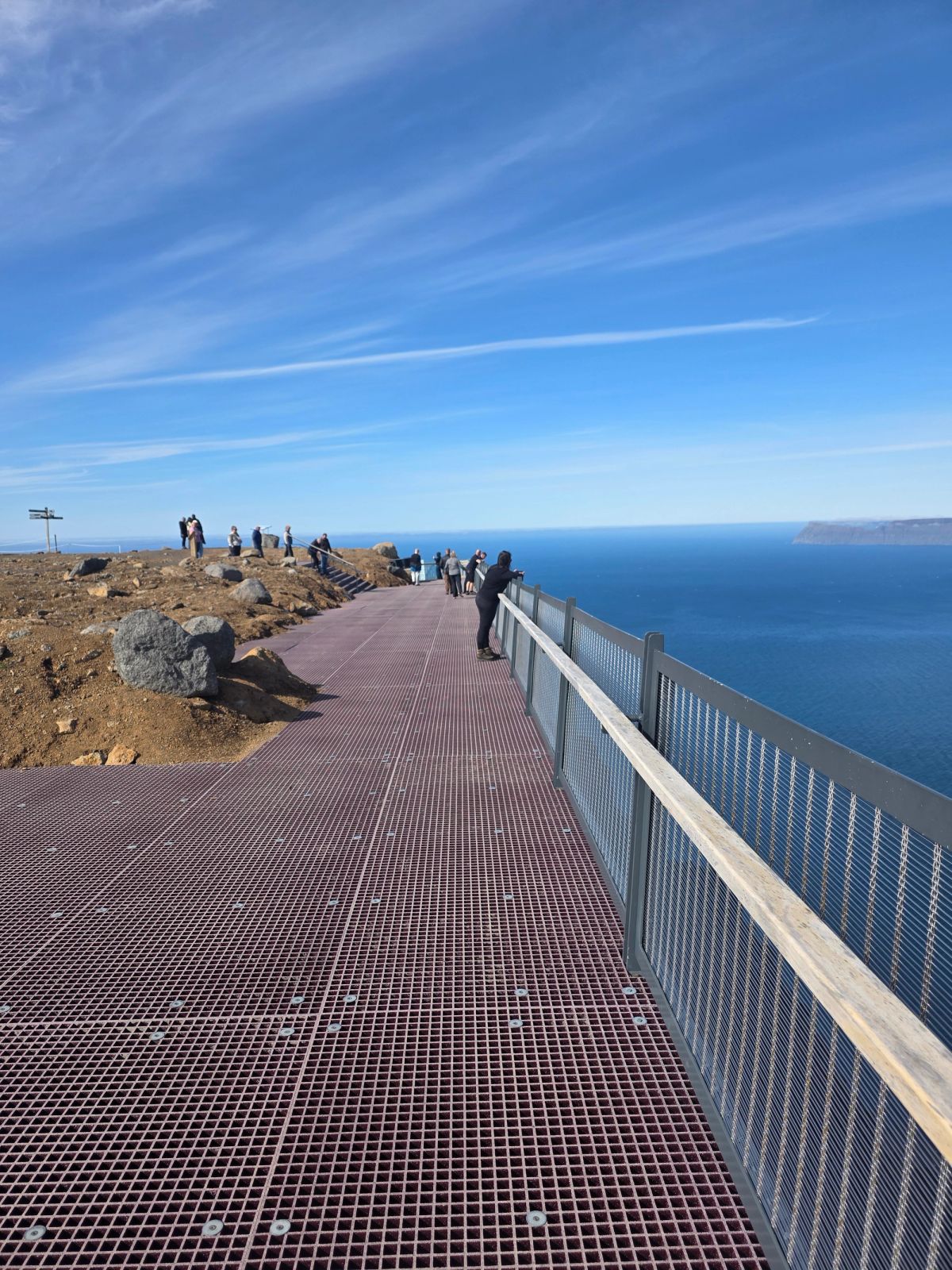
Bolafjall
westfjords
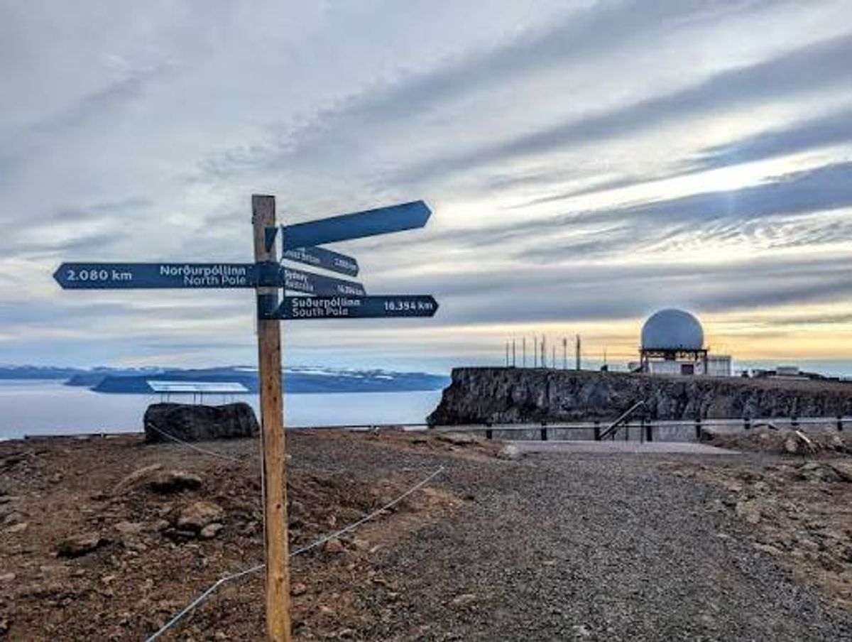
Bolafjall Cliff Trail
Westfjords
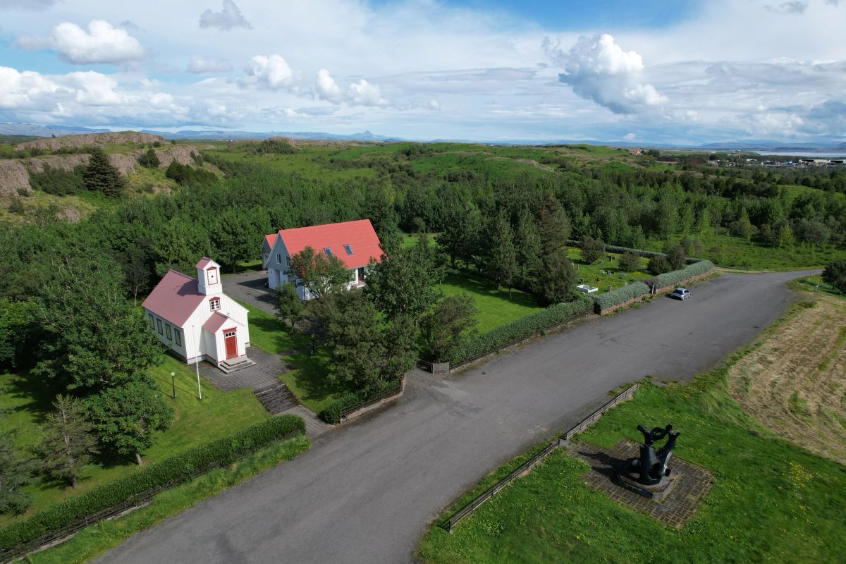
Borg á Mýrum
west-iceland
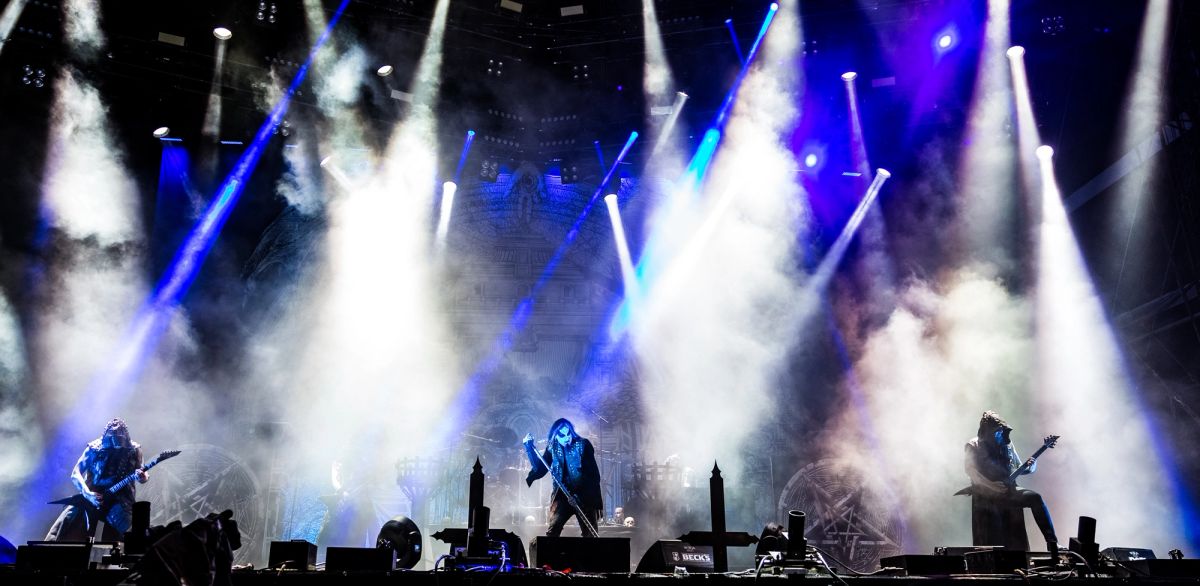
Borgir
north-iceland
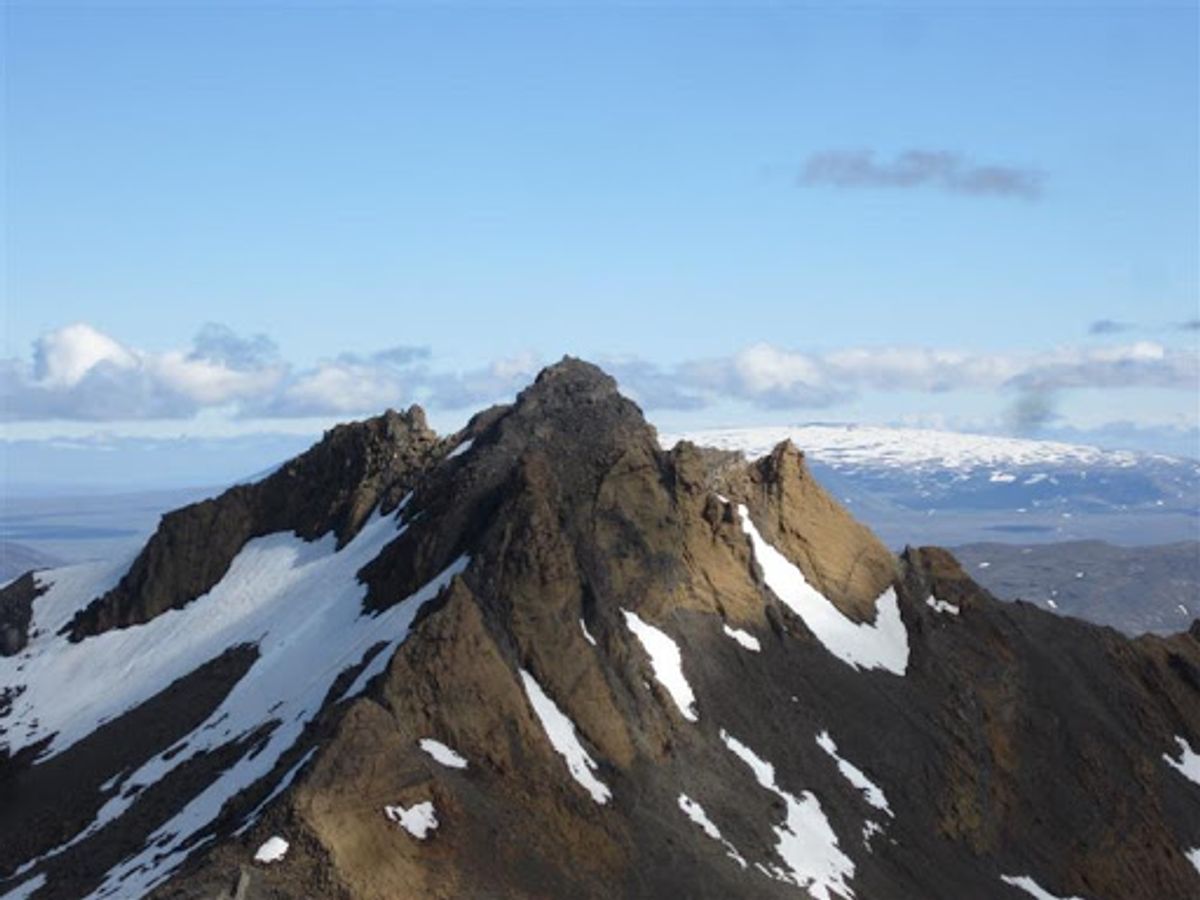
Botnssúlur
west-iceland
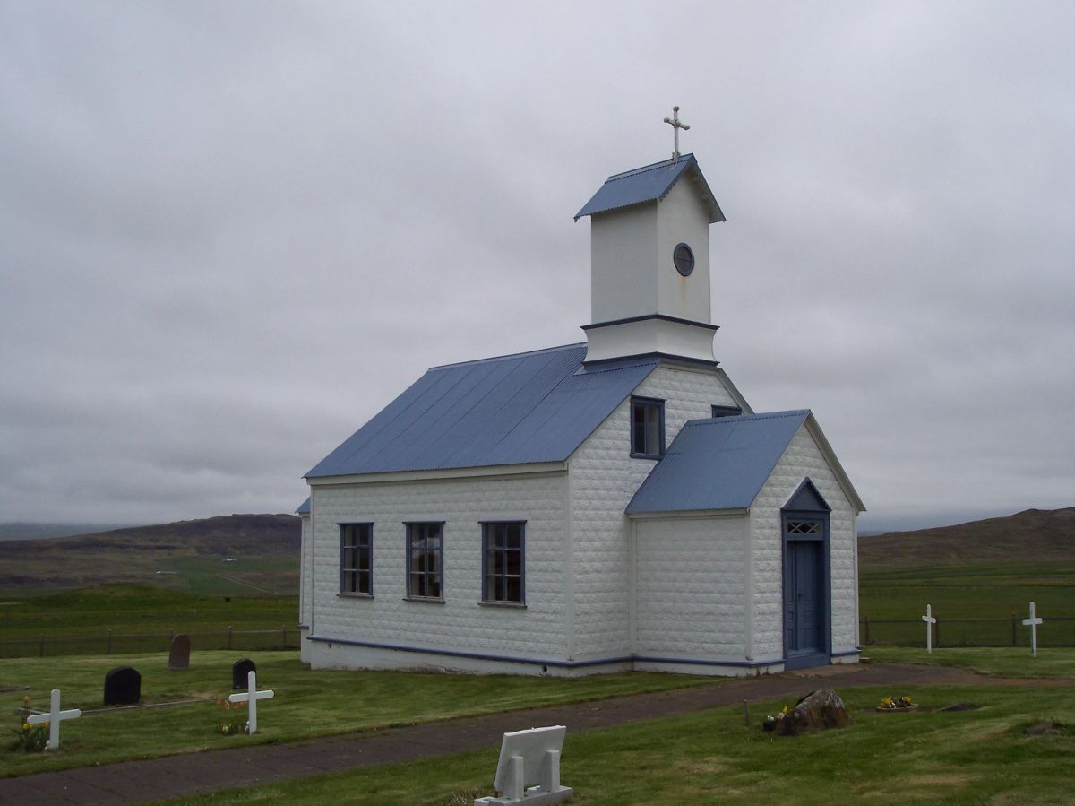
Breiðabólstaðarfjall
west-iceland
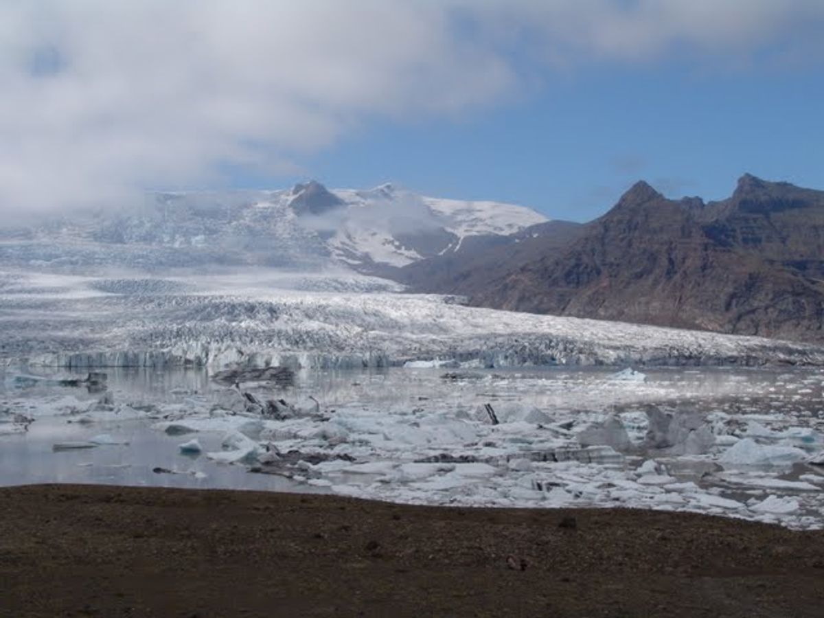
Breiðamerkurfjall Viewpoint
south-iceland
 Bookable Tour
Sólheimajökullプライベートツアーでの氷河アドベンチャー
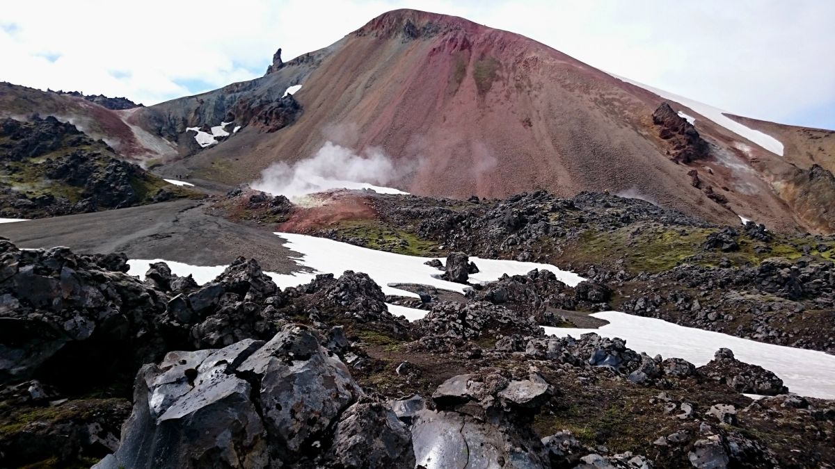
Brennisteinsalda Mountain
south-iceland
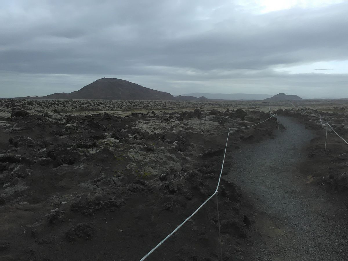
Brennisteinsfjöll
reykjanes
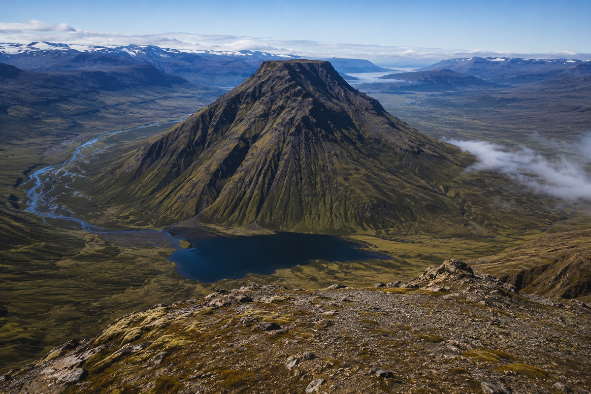
Bruni
westfjords
Accommodation
アイスランドの山岳地帯の宿泊施設
山の景色と簡単なトレイルアクセスを備えたゲストハウスとホテル
Affiliate links — we may earn a commission at no extra cost to you.
よくある質問
アイスランドで最も高い山はどれですか?
標高2,110mのフヴァンナダールスフニュークルはアイスランドの最高峰で、ヴァトナヨークトル国立公園のオウラヴァヨークトル火山の縁に位置しています。登頂にはガイド付き氷河ツアーが必要で、5月から7月が最適です。
アイスランドで最も有名な山はどれですか?
スナイフェルスネス半島のキルキュフェットルはアイスランドで最も写真に撮られる山で、滝のキルキュフェットルスフォスの隣にある独特の矢じり形の山頂です。ゲーム・オブ・スローンズに登場して国際的に有名になりました。
初心者はアイスランドの山に登れますか?
はい — レイキャビク近郊のエシャ山と東アイスランドのスカーラフェルは初心者に最適です。多くの山頂は技術的な登山スキルを必要としません。天候が急変する可能性があるため、出発前に必ず重ね着、防水服を持参し、天気予報を確認してください。
アイスランドの山に登るにはガイドが必要ですか?
ほとんどのアクセス可能な山は適切な装備とナビゲーションスキルがあれば独立して登ることができます。フヴァンナダールスフニュークルのような氷河化した山頂の技術的なルートには認定ガイドが必要です。常にsafetravel.isでハイキングを登録し、道路状況を確認してください。
アイスランドの山でハイキングするのに最適な時期はいつですか?
6月から9月がFロードと高地のトレイルが開放されるハイキングのメインシーズンです。7月と8月が最も安定した天候です。春(5月)と秋(10月)は、人混みを避けて劇的な光を好む経験豊富なハイカーに適しています。
🌌 See the Northern Lights
Track real-time aurora activity and plan your Northern Lights trip with AuroraVision.
Find Hotels in South Iceland
From cozy Reykjavík guesthouses to remote Highland lodges — thousands of properties with free cancellation and best price guarantee.
Tours & Experiences
Book Activities in Iceland
Tours & Activities
Book top-rated Iceland tours, day trips, and experiences — Northern Lights, glacier hikes, whale watching and more.
Browse Activities →Guided Iceland Tours
Golden Circle, South Coast, ice caves, volcano hikes — 1,000+ guided tours with free cancellation on most bookings.
Browse Tours →Guided Experiences
Tours & Day Trips in Iceland
Golden Circle, Northern Lights hunts, whale watching, glacier hikes, lava cave tours and more. Book with free cancellation — confirmed instantly.