
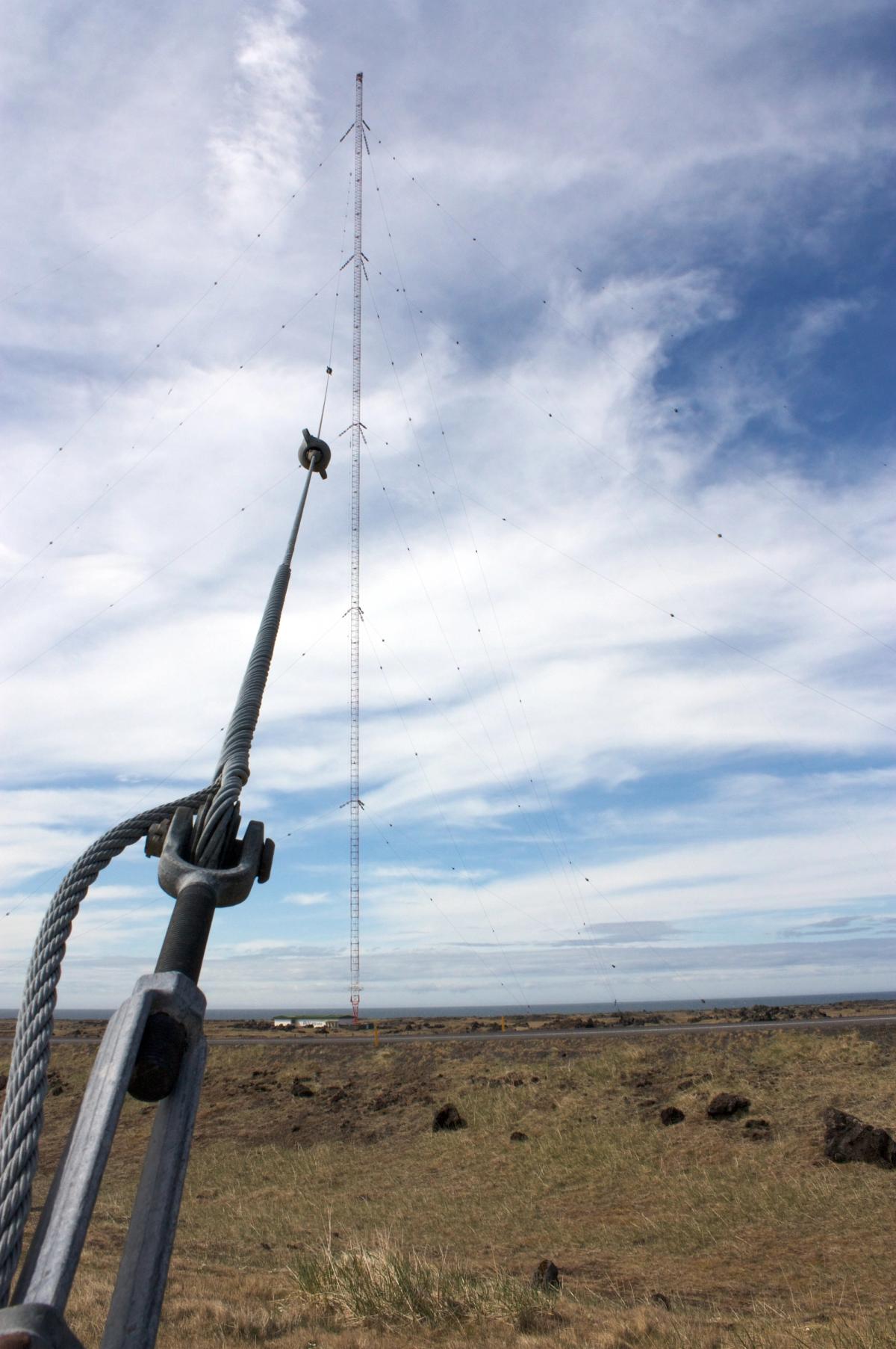
Photo: JoakimJ21Wikimedia CommonsCC BY-SA 4.0
关于
关于Gufuskálar
A historic fishing station and archaeological site on the north-western tip of the Snæfellsnes peninsula, where more than a hundred medieval stone fish-drying huts (fiskbyrgi) lie in the lava field beneath Iceland's 412-metre Gufuskálar radio mast.
Gufuskálar附近的旅游
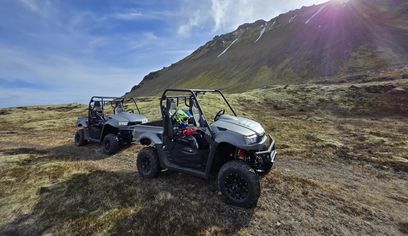
Buggy tours around Snæfellsjökull. 2 hour tour
Glacier Paradise · 2 hours 30 minutes
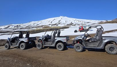
Buggy tours around Snæfellsjökull. 1 hour tour
Glacier Paradise · 1 hour
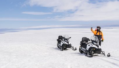
Into The Glacier - With Snowmobiling From Klaki Base Camp
Arctic Adventures · 2 hours 30 minutes
Private Farm Visit & Silver Circle Day Tour in West Iceland
Rest in the West · 12 hours
驾车前往Gufuskálar
打算自驾前往?比较适合该地区的车型,再按旅行日期查看真实租车报价。
在此查询实时空车
车型仅供参考,并非实时价格或库存。通过此处预订,GoIceTravel可能获得佣金,但不会增加你的费用。
照片
图库
背景
历史与背景
Gufuskálar was one of Iceland's major fishing stations for much of the medieval and early-modern period. Fishermen rowed out from the landing at Gufuskálavör from at least the 13th century until the 20th, and the lava field above the shore still holds more than a hundred stone fish-drying huts (fiskbyrgi) estimated to be 500–700 years old. Archaeological excavations between 2008 and 2012, led by the Institute of Archaeology, Iceland, uncovered a fishermen's hut (verbúð) from the early 15th century along with bones, ceramics and tools that document fish processing on a large scale. In the 20th century the site gained a very different landmark: a roughly 190-metre LORAN-C navigation mast was raised in 1959 and replaced in 1963 by the 412-metre Gufuskálar mast, which from the late 1990s carried RÚV's longwave broadcasts until they ended in September 2024.
Gufuskálar was a busy verstöð, or seasonal fishing station, for much of Iceland's history. In the lava of Bæjarhraun, above the main road, lie more than a hundred — by some counts over two hundred — small oval byrgi built up from lava stone. They were used to dry and store fish, and because they are built up to fit the broken lava, they are easy to miss from the road. They are generally estimated to be 500 to 700 years old and are regarded as one of the most extensive and best-preserved groups of their kind in Northern Europe. The main landing was Gufuskálavör, a paved slipway about 70 metres long cut through the shoreline boulders; deep grooves worn into the flat rock still mark where boat keels were dragged ashore. Rowboats were worked from here for centuries, from at least the 13th century until the 20th. Archaeologists have studied the site since an assessment in 2008, with larger excavations in 2011 and 2012 under the "Under the Glacier" project led by the Institute of Archaeology, Iceland. Their work, carried out with international partners, included the full excavation of a fishermen's hut (verbúð) dating from the early 15th century — thought to be the first of its period to be dug in its entirety. Finds have included fish and animal bones, ceramic jars and tools. The site is exposed to the sea, and coastal erosion has been steadily eating into the archaeology. An older local tradition offers a different reading of the stone huts, suggesting some may have been prayer shelters linked to early Irish visitors; Irish names survive in the area, such as Írskrabrunnur, "the well of the Irish." High above the fishing grounds stands the Gufuskálar radio mast. Built in 1963 as part of the North Atlantic LORAN-C navigation chain, it later carried RÚV's longwave radio broadcasts from the late 1990s until the service was switched off in September 2024. At 412 metres the guyed mast still stands as one of the tallest structures in Western Europe, a striking modern landmark over a landscape shaped by centuries of fishing. Gufuskálar is one of the destinations listed by Snæfellsjökull National Park, at the western end of the peninsula near Hellissandur.
文化
故事与传说
来自该地区的冰岛传奇和民间故事
位置
位置
探索更多