
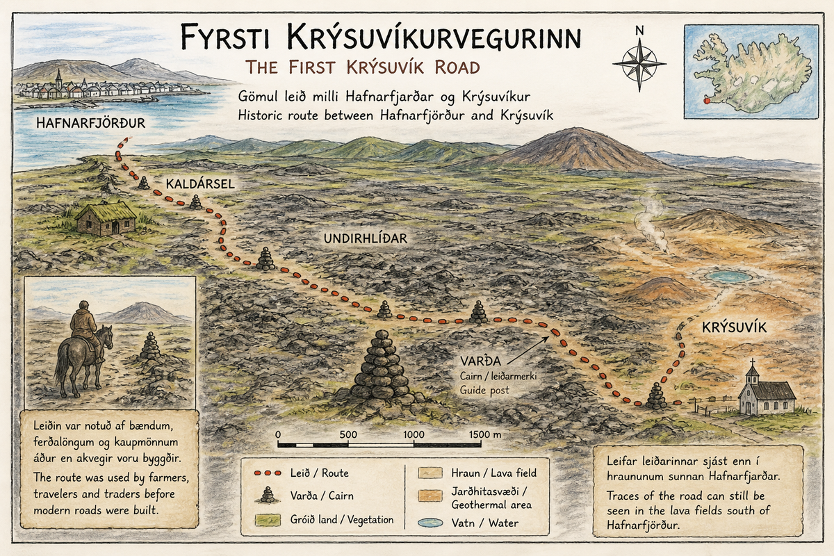
第一条克里苏维克古道(Fyrsti Krýsuvíkurvegurinn)
第一条克里苏维克古道(Fyrsti Krýsuvíkurvegurinn) 是一条历史悠久的传统通行路线,曾连接 Hafnarfjörður 与内陆地区 Krýsuvík,穿越雷克雅内斯半岛崎岖的火山熔岩地貌。在现代公路修建之前,这条道路曾是农民、商人和旅行者往返沿海与内陆资源地区的重要通道之一。 这条路线横跨年轻的…
关于
关于第一条克里苏维克古道(Fyrsti Krýsuvíkurvegurinn)
第一条克里苏维克古道(Fyrsti Krýsuvíkurvegurinn) 是一条历史悠久的传统通行路线,曾连接 Hafnarfjörður 与内陆地区 Krýsuvík,穿越雷克雅内斯半岛崎岖的火山熔岩地貌。在现代公路修建之前,这条道路曾是农民、商人和旅行者往返沿海与内陆资源地区的重要通道之一。 这条路线横跨年轻的熔岩原和起伏不平的地形,体现了早期居民如何适应冰岛独特而严酷的自然环境。它也是当时区域交通网络的一部分,用于前往牧场、邻近聚落以及宗教场所等重要地点。 如今,在靠近 Kaldársel 一带及周边熔岩原地区,仍可辨认出部分旧道路遗迹。这些遗迹为游客提供了了解现代道路建设之前冰岛传统出行方式的重要窗口,也展示了当地历史交通发展的重要阶段。
Fyrsti Krýsuvíkurvegurinn are historic ruins in Capital Region, Iceland, offering a glimpse into the lives of early Icelandic settlers and the country's long history.
第一条克里苏维克古道(Fyrsti Krýsuvíkurvegurinn)附近的旅游
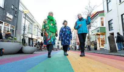
Private Reykjavik LGBTQ+ City Walk
Your Friend in Reykjavik · 3 hours
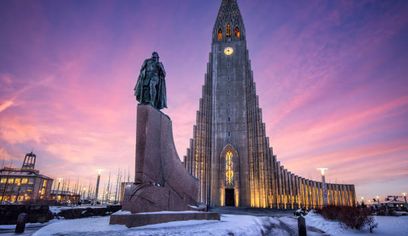
Private Reykjavik City Tour
Icelimo Luxurytravel · 4 hours
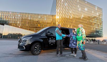
Private 3 hour Reykjavik Driving Tour
Your Friend in Reykjavik · 3 hours
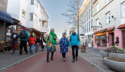
Private Reykjavik Shopping & Sightseeing Walking Tour
Your Friend in Reykjavik · 3 hours
照片
图库
背景
历史与背景
第一条克里苏维克古道 形成于冰岛仍以步行和骑马为主要交通方式的时期,是连接 Hafnarfjörður 与 Krýsuvík 的重要历史路线之一。这条道路属于早期区域交通网络的一部分,为沿海与内陆聚落之间的贸易往来、放牧活动以及宗教往返提供了通行条件。 随着20世纪现代公路的建设,这条传统路线逐渐停止日常使用,但其遗迹至今仍保存在当地景观之中,成为展示雷克雅内斯半岛早期交通历史的重要文化遗产之一。
第一条克里苏维克古道(Fyrsti Krýsuvíkurvegurinn) 是一条历史悠久的重要交通路线,曾连接 Hafnarfjörður 与 Krýsuvík。在现代道路修建之前,这条路线是雷克雅内斯半岛居民往返沿海渔村与内陆农场的重要通道之一,同时也是区域交通网络的重要组成部分。 这条道路穿越年轻的熔岩原、起伏的地形以及牧场区域,人们依靠经验以及沿途设置的石堆路标(varða)进行导航。它不仅连接农场与教堂聚落,还为人们前往牧场和利用地热资源提供通行路径。尽管自然条件复杂,这条路线在数个世纪中一直发挥着重要作用。 如今,在 Kaldársel 附近以及周边熔岩原地区仍可辨认出部分旧道路遗迹。这些遗迹为游客提供了了解现代交通建设之前冰岛传统出行方式的重要窗口,同时展示了当地历史交通发展的重要阶段。
民间故事
故事与民间故事
在现代交通出现之前,第一条克里苏维克古道 是连接沿海渔业社区与内陆农场的重要通行路线。人们通常骑马或步行沿着这条道路穿越年轻的熔岩原和崎岖地形,并依靠沿途设置的石堆路标(varða)来辨认方向。尽管旅途艰难,这条道路仍长期维系着不同聚落之间的联系,并成为当地居民日常生活的重要组成部分。如今,在靠近 Kaldársel 一带仍可看到旧道路遗迹,使游客能够想象过去人们如何穿越这片火山地貌。
你知道吗?
Before modern roads existed, travelers on the First Krýsuvík Road between Hafnarfjörður and Krýsuvík often navigated by following cairns (varða)—small stone markers placed across the lava fields to guide people safely through the rugged volcanic landscape in poor weather and winter conditions?
文化
故事与传说
来自该地区的冰岛传奇和民间故事
位置
位置
Discover
Explore Nearby
Places from our database within 5.0 km — all data from Sanity
Loading nearby places…
0 places found within 5.0 km
Plan full itinerary →探索更多