
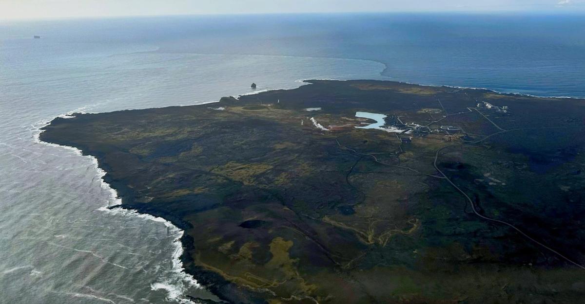
Reykjanestá
The exposed southwestern tip of Reykjanes, where eroded volcanic cliffs, boulder beaches, Atlantic surf and views toward Eldey create one of the peninsula's wil…
At a Glance
Visit time
Around 45–90 minutes, longer when combined with Reykjanesviti and Gunnuhver.
Best Season
Choose calm, clear weather for coastal views. Avoid stormy conditions and poor visibility.
Getting There
Road access leads to established parking and viewing areas near Reykjanesviti, Gunnuhver and Valahnúkamöl. Stay out of closed areas and away from visible cracks.
GPS
63.8128, -22.7155
About
About Reykjanestá
The exposed southwestern tip of Reykjanes, where eroded volcanic cliffs, boulder beaches, Atlantic surf and views toward Eldey create one of the peninsula's wildest coastal landscapes.
Experience one of Iceland's rawest coastal geosites, with volcanic cliffs, huge Atlantic surf, views toward Eldey and easy access to Reykjanesviti and Gunnuhver.
Tours Near Reykjanestá

South Coast Tour - Black Sand Beach, Plane wreck, Skogafoss, Seljalandsfoss guided in Chinese冰岛南岸黑沙滩飞机残骸中文一日团
Magic Iceland Travel · 10 hours 30 minutes
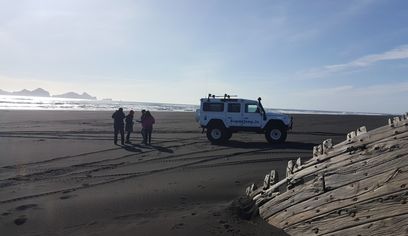
DT 322 Private Superjeep South Coast & Eyjafjallajökull Volcano Sights
Superjeep · 8 hours
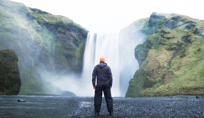
South Coast Waterfalls, Glacier & Black Sand Beach Tour
BusTravel Iceland · 10 hours
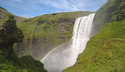
South Coast Small Group Tour: Waterfalls, Glacier & Black Sand Beach
BusTravel Iceland · 10 hours
Photos
Gallery
Background
History & Background
The Reykjanestá coast has long been important for navigation, fishing and geological observation. Iceland's first lighthouse was built in the Reykjanes area in 1878, with the present Reykjanesviti tower completed in 1908 after seismic activity affected the original site. The surrounding shore is now part of Reykjanes UNESCO Global Geopark and includes internationally important examples of volcanic and coastal geology.
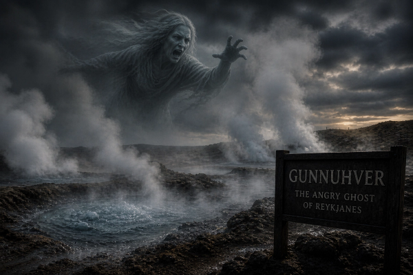
Reykjanestá is the outer southwestern tip of the Reykjanes Peninsula and one of the clearest places to experience the meeting of Iceland's volcanic geology and the North Atlantic. The coastal landscape around Valahnúkur, Valbjargargjá and Valahnúkamöl has been shaped by both eruptions and relentless marine erosion. Reykjanes Geopark describes Valahnúkur as an eroded hill made from palagonite tuff, pillow lava and breccia, while Valahnúkamöl is a broad berm of large rounded boulders built by powerful waves and storms. Offshore lies Eldey, a steep volcanic island that is an important seabird breeding site and a striking landmark from the coast. The wider Reykjanestá area also includes Iceland's oldest lighthouse tradition at Reykjanesviti and the geothermal landscape around Gunnuhver, making this one of the strongest concentrations of natural and cultural attractions on the peninsula. Visitors should treat the coastline with particular caution. The cliffs are actively eroding, Atlantic surf can be violent and geological movement has created new cracks around Valahnúkur. The path onto Valahnúkur has been closed, and both Visit Reykjanes and Reykjanes Geopark have warned visitors to keep clear of visible cracks and cliff edges. Stay on established viewing areas and never approach the surf for photographs.
Folklore
Story & Folklore
At Reykjanestá, two forces that built Iceland are visible at the same time. Volcanic eruptions created the rock, while Atlantic storms have spent thousands of years breaking it apart. Valahnúkur has been carved into a steep eroded headland, and the boulders of Valahnúkamöl have been rounded and piled by powerful waves. For generations this coast was also a navigation landmark. Reykjanesviti rose nearby to guide ships past a dangerous shore, while Eldey remained fixed on the horizon beyond the surf. Today the coast still changes. Cracks caused by recent geological unrest and continuing erosion are reminders that Reykjanestá is not a finished landscape but an active one.
Did You Know?
Reykjanes Geopark describes the nearby Valahnúkamöl beach berm as a ridge of large boulders created and reshaped by powerful storms, waves and surf.
Culture
Stories & Legends
Icelandic sagas and folklore from this area
Location
Location
Discover
Explore Nearby
Places within 5.0 km
Loading nearby places…
0 places found within 5.0 km
Plan full itinerary →Explore More