
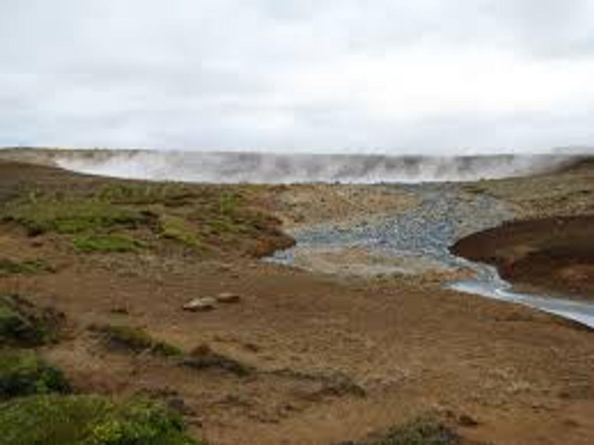
Austurengjahver
Austurengjahver er virkur jarðhitaleirhver í Austurengjum, sunnan við Kleifarvatn á Reykjanesi. Austurengjar er eitt af helstu jarðhitasvæðum innan víðara Krýsu…
Stuttlega
Heimsóknartími
Allow 30–60 minutes, usually as part of a wider Krýsuvík or Kleifarvatn outing.
Besta árstíð
Dry, clear conditions make undeveloped geothermal terrain easier to assess.
Leiðarvísir
The Austurengjar area is less developed than Seltún. Use established access only and never cross geothermal crusts or steaming ground.
GPS
63.8973, -22.0137
Um
Um Austurengjahver
Austurengjahver er virkur jarðhitaleirhver í Austurengjum, sunnan við Kleifarvatn á Reykjanesi. Austurengjar er eitt af helstu jarðhitasvæðum innan víðara Krýsuvíkurkerfisins, þar sem gufa, heit jörð og steinefnaríkur leir opinbera hita sem stígur upp í gegnum virkt eldfjallalegt landslag. Þetta er náttúrulegt jarðhitasvæði, ekki baðlind. Gestir skulu halda sér frá sjóðandi leir, gufuopum og þunnri skán og forðast að fara út fyrir afmörkuð, örugg svæði.
Ferðir nálægt Austurengjahver

South Coast Tour - Black Sand Beach, Plane wreck, Skogafoss, Seljalandsfoss guided in Chinese冰岛南岸黑沙滩飞机残骸中文一日团
Magic Iceland Travel · 10 hours 30 minutes
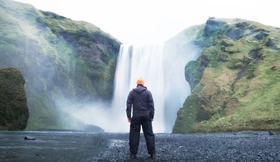
South Coast Waterfalls, Glacier & Black Sand Beach Tour
BusTravel Iceland · 10 hours
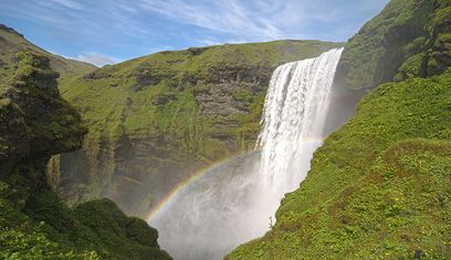
South Coast Small Group Tour: Waterfalls, Glacier & Black Sand Beach
BusTravel Iceland · 10 hours
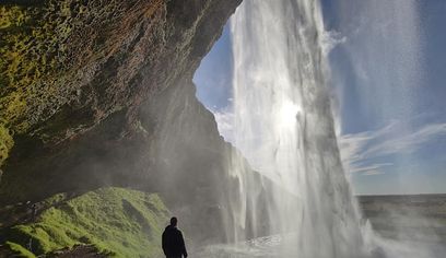
South Coast Waterfalls, Black Beach and Glacier Adventure | Small Group Day Tour
Nicetravel · 11 hours
Myndir
Myndavefur
Bakgrunnur
Saga og bakgrunnur
Austurengjar has long been recognised as one of the principal geothermal areas in the Krýsuvík district. The wider Krýsuvík landscape was historically a farming and travel area, while modern geological study has focused on its high-temperature system, earthquake activity and changing geothermal surface features.
Austurengjahver lies in the Austurengjar geothermal area south of Kleifarvatn, within the broad volcanic and geothermal landscape of Krýsuvík. Visit Reykjanes lists Austurengjar among the main high-temperature geothermal areas of Krýsuvík, together with Seltún, Hverahvammur, Hverahlíð and geothermal ground along the southern part of Kleifarvatn. The feature is an active mud spring where hot groundwater, gases and fine volcanic material interact close to the surface. Bubbling mud and rising steam are visible evidence that the Reykjanes Peninsula remains geologically active along the plate boundary. The surrounding area also contains explosion craters, lakes, old farm remains and other geothermal features, making Austurengjahver part of a much larger geological story rather than an isolated hot spring. The ground around geothermal features can be unstable and much hotter than it appears. Visitors should never test the surface with hands or feet, should avoid walking on pale or steaming ground outside established routes and must respect any barriers or closures. Austurengjahver is best suited to travellers already exploring Krýsuvík and the quieter landscapes south of Kleifarvatn rather than those looking for developed visitor facilities.
Þjóðsögur
Saga og þjóðsögur
Austurengjahver is part of a landscape where the surface gives only small clues to the heat below. Steam escapes through cracks, mineral-rich water alters the ground and mud bubbles where groundwater meets volcanic heat. Across Krýsuvík, these features shift over time as earthquakes and changes in underground water pathways alter where pressure reaches the surface. The mud spring is therefore not a static landmark. It belongs to an active geothermal system that also feeds nearby hot ground and springs around Kleifarvatn and Seltún. Visiting it offers a quieter look at the same processes that shape the peninsula's better-known geothermal sites.
Staðbundin þjóðsaga
The Restless Ground of Austurengjar
There is no need to invent a supernatural tale for Austurengjahver: the real story is the moving geothermal system beneath it. Water, heat, gas and fractured volcanic rock continually interact below the surface, and earthquakes can alter underground pathways. The bubbling mud is one visible expression of that hidden system, linking Austurengjar to the wider Krýsuvík geothermal landscape.
Staðsetning
Staðsetning
Discover
Explore Nearby
Places within 5.0 km
Loading nearby places…
0 places found within 5.0 km
Plan full itinerary →Kanna meira