
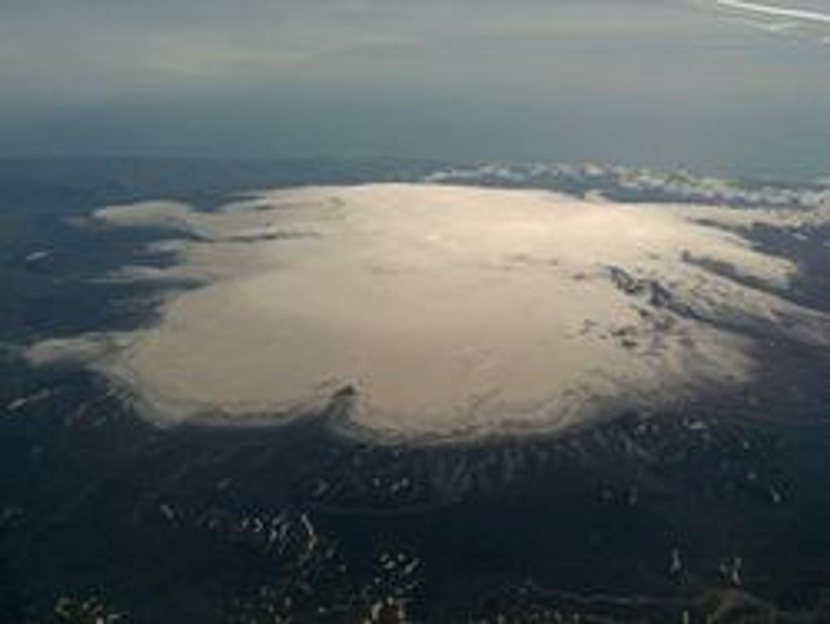
Mýrdalsjökull
Large South Iceland ice cap covering the active Katla volcanic system.
De un vistazo
Tiempo de visita
2-5 hours with a guided tour
Mejor temporada
Summer (June-August) for glacier walks; winter for ice caves
Cómo llegar
Guided tours required for glacier hiking. No solo glacier walking.
GPS
63.6467, -19.1303
Acerca de
Sobre Mýrdalsjökull
Large South Iceland ice cap covering the active Katla volcanic system.
Tours cerca de Mýrdalsjökull
DT 322 Private Superjeep South Coast & Eyjafjallajökull Volcano Sights
Superjeep · 8 hours
South Coast Waterfalls, Glacier & Black Sand Beach Tour
BusTravel Iceland · 10 hours
South Coast Small Group Tour: Waterfalls, Glacier & Black Sand Beach
BusTravel Iceland · 10 hours
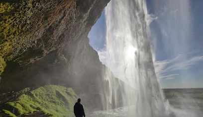
South Coast Waterfalls, Black Beach and Glacier Adventure | Small Group Day Tour
Nicetravel · 11 hours
Visita Mýrdalsjökull en coche
¿Vas a conducir hasta aquí? Compara vehículos adecuados para la región y consulta ofertas para tus fechas.
Busca disponibilidad real aquí
Los tipos de coche son sugerencias, no precios ni disponibilidad en tiempo real. GoIceTravel puede recibir una comisión sin coste adicional.
Fotos
Galería
Antecedentes
Historia y Antecedentes
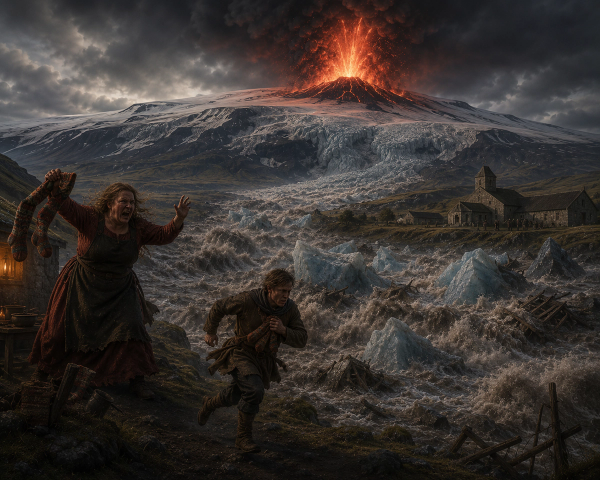
Mýrdalsjökull and Katla have shaped the surrounding landscape through repeated volcanic eruptions, glacial erosion and jökulhlaup floods. Modern monitoring tracks seismic, geothermal and hydrological changes beneath and around the ice cap.
Mýrdalsjökull is one of Iceland's major ice caps and covers the Katla volcanic system north of Vík. The glacier feeds several outlet glaciers and glacial rivers and is an important part of the South Coast landscape. Katla is an active volcano monitored continuously by Icelandic authorities, but it is not accurate to claim that an eruption is 'predicted imminently.' Glacier travel should only be undertaken with suitable equipment and experienced or guided access.
Folclore
Historia y Folclore
Mýrdalsjökull combines two of Iceland's defining forces: a large glacier and an active volcanic system beneath the ice. Its outlet glaciers, rivers and broad sandur landscapes show the long-term interaction of ice, meltwater and volcanism.
Cultura
Historias y Leyendas
Sagas islandesas y folclore de esta área
Ubicación
Ubicación
Descubre
Explora los alrededores
Lugares a menos de 5.0 km
Cargando lugares cercanos…
0 lugares encontrados a menos de 5.0 km
Planificar el itinerario completo →Explorar más