8°C
Iceland · Tierras Altas de Islandia
Tierras Altas de Islandia
Landmannalaugar, campos de lava de obsidiana y rutas de montaña
Iceland · Tierras Altas de Islandia
Landmannalaugar, campos de lava de obsidiana y rutas de montaña
Desde Reykjavík
3–5 h (carreteras F)
Pueblos de acceso
Hella, Hvolsvöllur
Mejor época
Jul.–principios de sep.
Aeropuerto más cercano
Keflavík (KEF)
Estado de las carreteras
Carreteras F, solo 4x4
Actividad estrella
Super Jeep y senderismo
Overview
The Icelandic Highlands form the vast interior of the country: a road-sparse landscape of lava deserts, geothermal valleys, rhyolite mountains, glaciers, black sand and braided rivers. Unlike the coastal regions, the Highlands are not a conventional year-round road-trip destination. Access is seasonal, many routes are F-roads and weather or river levels can change what is possible from one day to the next.
Landmannalaugar and Fjallabak are the best-known southern destinations, with colourful mountains, lava and geothermal bathing. Kjölur crosses the interior between glaciers and reaches Hveravellir and Kerlingarfjöll, while Askja and the Ódáðahraun area offer a much more remote volcanic landscape in the northeast. Each of these areas deserves its own plan rather than being treated as interchangeable highland scenery.
The Highlands reward conservative decision-making. A route that looks simple on a map can involve rough surfaces, river crossings, long gaps without services and sudden weather changes. Guided buses and super-jeep tours are often the best choice for visitors who want the landscape without managing the driving risk themselves.
Why Visit
Volcanic deserts, lava, geothermal valleys and glaciers dominate a landscape with almost no permanent settlement.
Rhyolite mountains and geothermal landscapes create some of the country’s most distinctive hiking scenery.
Kerlingarfjöll, Hveravellir and other interior sites reveal Iceland’s geothermal power far from towns.
Day hikes and multi-day trekking routes cross some of Iceland’s most varied and remote terrain.
Reaching places such as Askja requires planning, patience and respect for the limits of roads, rivers and weather.
No te lo pierdas
Los lugares más icónicos de Islandia en Tierras Altas de Islandia
 attraction
Hveravellir es un oasis geotérmico remoto en las tierras altas centrales de Islandia, ubicado a lo largo de la ruta Kjöl
Ver atracción attraction
Hveradalir, que significa 'Valle de Aguas Termales', es un sorprendente paisaje geotérmico en la cordillera de Kerlingar
Ver atracción attraction
Descubra el tranquilo Manantial Termal de Kerlingarfjöll, una piscina geotérmica natural en las dramáticas tierras altas
Ver atracción attraction
Descubre Sænautasel, un notable museo de granja de turba en el norte de Islandia. Sus icónicos techos cubiertos de hierb
Ver atracción attraction
Anidados en las remotas tierras altas del este de Islandia, Dimmugljúfur y Hafrahvammagljúfur forman un impresionante y
Ver atracción attraction
Kárahnjúkastífla es la presa principal del sistema hidroeléctrico Kárahnjúkar–Fljótsdalur, en las Tierras Altas oriental
Ver atracción attraction
Heiðarbýlin í göngufæri is a cultural hiking and heritage project across Jökuldalsheiði and neighbouring heaths in East
Ver atracción attraction
El área geotérmica de Torfajökull es un vasto sistema geotérmico de alta temperatura en las remotas Tierras Altas del su
Ver atracción attraction
El volcán Escudo es un mirador panorámico en las Tierras Altas, Islandia. Este lugar ofrece vistas panorámicas de los es
Ver atracción attraction
Adéntrate en Vonarskarð, un paso de montaña remoto y árido en el corazón de las Tierras Altas de Islandia. Este dramátic
Ver atracción attraction
Escondida en los escarpados paisajes del norte de Islandia, Drekafoss, también conocida como "Skinandi" o "la Cascada de
Ver atracción attraction
Drekagil, que significa "Barranco del Dragón", es un cañón sorprendentemente accidentado en las Tierras Altas del norte
Ver atracciónattractionHveravellir es un oasis geotérmico remoto en las tierras altas centrales de Islandia, ubicado a lo largo de la ruta Kjöl
Ver atracciónattractionHveradalir, que significa 'Valle de Aguas Termales', es un sorprendente paisaje geotérmico en la cordillera de Kerlingar
Ver atracciónattractionDescubra el tranquilo Manantial Termal de Kerlingarfjöll, una piscina geotérmica natural en las dramáticas tierras altas
Ver atracciónattractionDescubre Sænautasel, un notable museo de granja de turba en el norte de Islandia. Sus icónicos techos cubiertos de hierb
Ver atracciónattractionAnidados en las remotas tierras altas del este de Islandia, Dimmugljúfur y Hafrahvammagljúfur forman un impresionante y
Ver atracciónattractionKárahnjúkastífla es la presa principal del sistema hidroeléctrico Kárahnjúkar–Fljótsdalur, en las Tierras Altas oriental
Ver atracciónattractionHeiðarbýlin í göngufæri is a cultural hiking and heritage project across Jökuldalsheiði and neighbouring heaths in East
Ver atracciónattractionEl área geotérmica de Torfajökull es un vasto sistema geotérmico de alta temperatura en las remotas Tierras Altas del su
Ver atracciónattractionEl volcán Escudo es un mirador panorámico en las Tierras Altas, Islandia. Este lugar ofrece vistas panorámicas de los es
Ver atracciónattractionAdéntrate en Vonarskarð, un paso de montaña remoto y árido en el corazón de las Tierras Altas de Islandia. Este dramátic
Ver atracciónattractionEscondida en los escarpados paisajes del norte de Islandia, Drekafoss, también conocida como "Skinandi" o "la Cascada de
Ver atracciónattractionDrekagil, que significa "Barranco del Dragón", es un cañón sorprendentemente accidentado en las Tierras Altas del norte
Ver atracciónExplorar
97 atracciones en el mapa — filtra por categoría y toca un pin.
En coche
Planifica tu propio recorrido — para donde quieras, a tu ritmo
 Desafiante
Remote volcanic Highlands and the Askja caldera
Conduce por Islandia
Guías de autoconducción con paradas clave, distancias y consejos — explora Tierras Altas de Islandia a tu propio ritmo.
ChallengingRemote volcanic Highlands and the Askja caldera
 Challenging
Landmannalaugar, rhyolite mountains and Highland roads
 Challenging
A remote East Iceland highland circuit of waterfalls, forest, Kárahnjúkar dam country and true 4x4 mountain roads.
 Challenging
Across Iceland between Langjökull and Hofsjökull
 Challenging
Rainbow mountains and geothermal rivers
 Moderate
Complete circumnavigation of Iceland
El autoturismo te da total flexibilidad. Elige el tipo de vehículo para las carreteras de la zona y busca precios reales en DiscoverCars.
Busca para ver los coches disponibles
La opción más barata para ciudad y carreteras principales asfaltadas.
Buscar cochesBusca para ver los coches disponibles
Algo más de espacio y comodidad, y fácil de aparcar.
Buscar cochesBusca para ver los coches disponibles
Cómodo para trayectos largos por la Carretera de Circunvalación con equipaje.
Buscar cochesBusca para ver los coches disponibles
Mayor altura libre y una conducción más segura.
Buscar cochesImportante: un 4x4/AWD no garantiza permiso para circular por carreteras F. Confirma la ruta, el vehículo y el contrato de alquiler con el proveedor; las carreteras cerradas y los vadeos de ríos pueden estar prohibidos incluso con un 4x4.
Las imágenes de categoría antes de buscar son ejemplos ilustrativos de DiscoverCars, no disponibilidad en directo. Los coches y precios reales proceden de tu propia búsqueda con fechas. GoIceTravel puede recibir una comisión sin coste adicional.
Geothermal
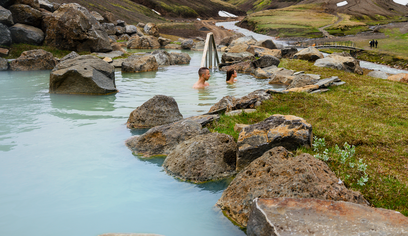
The Highlands contain famous natural geothermal bathing areas, but they are fragile environments rather than conventional pools. Conditions, access and water temperature can vary, and some sites have changing rules to protect vegetation and water quality.
Eat & Experience
The Highlands do not have a conventional food scene. Mountain huts and a few seasonal service points may sell basic meals or snacks, but travellers should plan as if they need to carry most of their own food and water.
That self-sufficiency is part of the character of the interior. A hot drink at a hut, a packed lunch after a long hike and a simple meal at camp fit the landscape better than expecting restaurant-style infrastructure.
Buy supplies before leaving the gateway towns, carry extra food for delays and never assume a seasonal service point will be open.
Season by Season
After Dark
The Highlands have exceptionally dark skies, but the normal self-drive season overlaps with Iceland’s bright summer nights, when the aurora cannot be seen. By the time darkness returns, many highland roads begin closing or become unsuitable for ordinary travel. Treat Northern Lights in the interior as a specialist guided or shoulder-season bonus rather than a standard highland itinerary.
Logistics
Many highland roads legally require a 4x4, and the appropriate vehicle depends on the exact route.
Depth and current can change quickly. Never cross if you are unsure, and remember that rental insurance may not cover water damage.
Highland roads open only after snow and ground conditions allow. Check official status before departure.
Road conditionsThey remove much of the vehicle and river-crossing risk for visitors focused on hiking or scenery.
There are long stretches without fuel, food or mechanical help. Plan the full route before entering the interior.
Beyond
Highland day trips should be planned from the nearest gateway rather than Reykjavík by default. Landmannalaugar, Kerlingarfjöll and Askja are separate destinations with different road requirements; choose one route and build the day around it.
Know Before You Go
A vehicle being a 4x4 does not automatically mean every F-road or river crossing is permitted by the rental company.
If you cannot assess depth, current and exit line confidently, do not cross.
Plan to finish with more fuel than you think you need; services are extremely limited.
Do not rely on cafés or shops inside the Highlands.
Cold rain, wind and near-freezing temperatures can occur even in summer.
Coverage can be patchy and you should not depend on live navigation alone.
A conservative turnaround decision is cheaper and safer than pushing into worsening conditions.
Tiempo actual
light drizzle
Viento 15 m/s
Ir más lejos
Guías detalladas para planificar tu viaje a Tierras Altas de Islandia
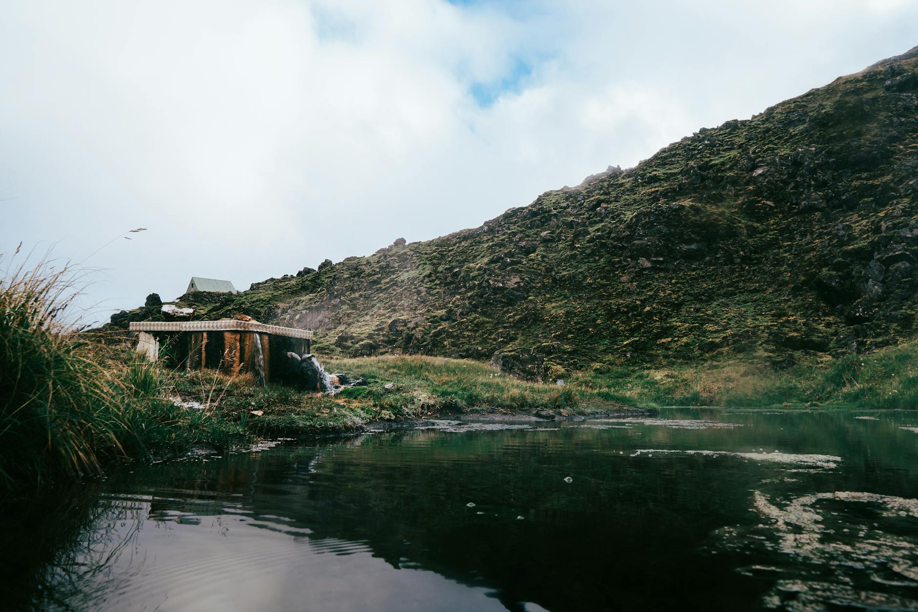 Guía
Landmannalaugar, Þórsmörk, Askja y la red de carreteras F.
Leer guía GuíaCómo conducir con seguridad por el interior de Islandia.
Leer guía Guía
Montañas de riolita, ríos termales y el inicio del sendero Laugavegur.
Leer guía Guía
La emblemática ruta de varios días de Islandia, planificada de principio a fin.
Leer guíaBueno saber
Todo lo que necesitas saber sobre Tierras Altas de Islandia
Solo en verano: las carreteras F suelen abrir de finales de junio a principios de septiembre, cuando se derrite la nieve, y vuelven a cerrar con las primeras nevadas de otoño. Las fechas exactas varían cada año; consulta road.is.
Sí, por ley. Todas las rutas de las Tierras Altas son carreteras F, que exigen un 4x4; conducirlas con un 2WD es ilegal, no está cubierto por el seguro y es peligroso.
Una zona geotérmica de la reserva de Fjallabak, famosa por sus montañas de riolita en tonos rojos, verdes y amarillos, un río termal natural para bañarse y por ser el inicio del trek Laugavegur.
En verano, toma un autobús de montaña o una excursión guiada de un día en Super Jeep desde Reykjavík o la costa sur hasta Landmannalaugar, Þórsmörk o Askja.
La ruta de varios días más famosa de Islandia: unos 55 km de Landmannalaugar a Þórsmörk en 2–4 días, entre campos geotérmicos, glaciares y gargantas.
Algunas rutas tienen vados sin puente. Evalúa primero a pie la profundidad y la corriente, cruza despacio en marcha corta y nunca intentes cruzar un río crecido.
Un frondoso valle volcánico entre tres glaciares, al que se llega por una carretera F con muchos ríos (se recomienda Super Jeep o autobús): un paraíso del senderismo y el final del trek Laugavegur.
Sí: es una caldera remota en las Tierras Altas del noreste con el lago de cráter Víti, en el que puedes bañarte. Es un trayecto largo y accidentado que es mejor hacer en un tour en Super Jeep.
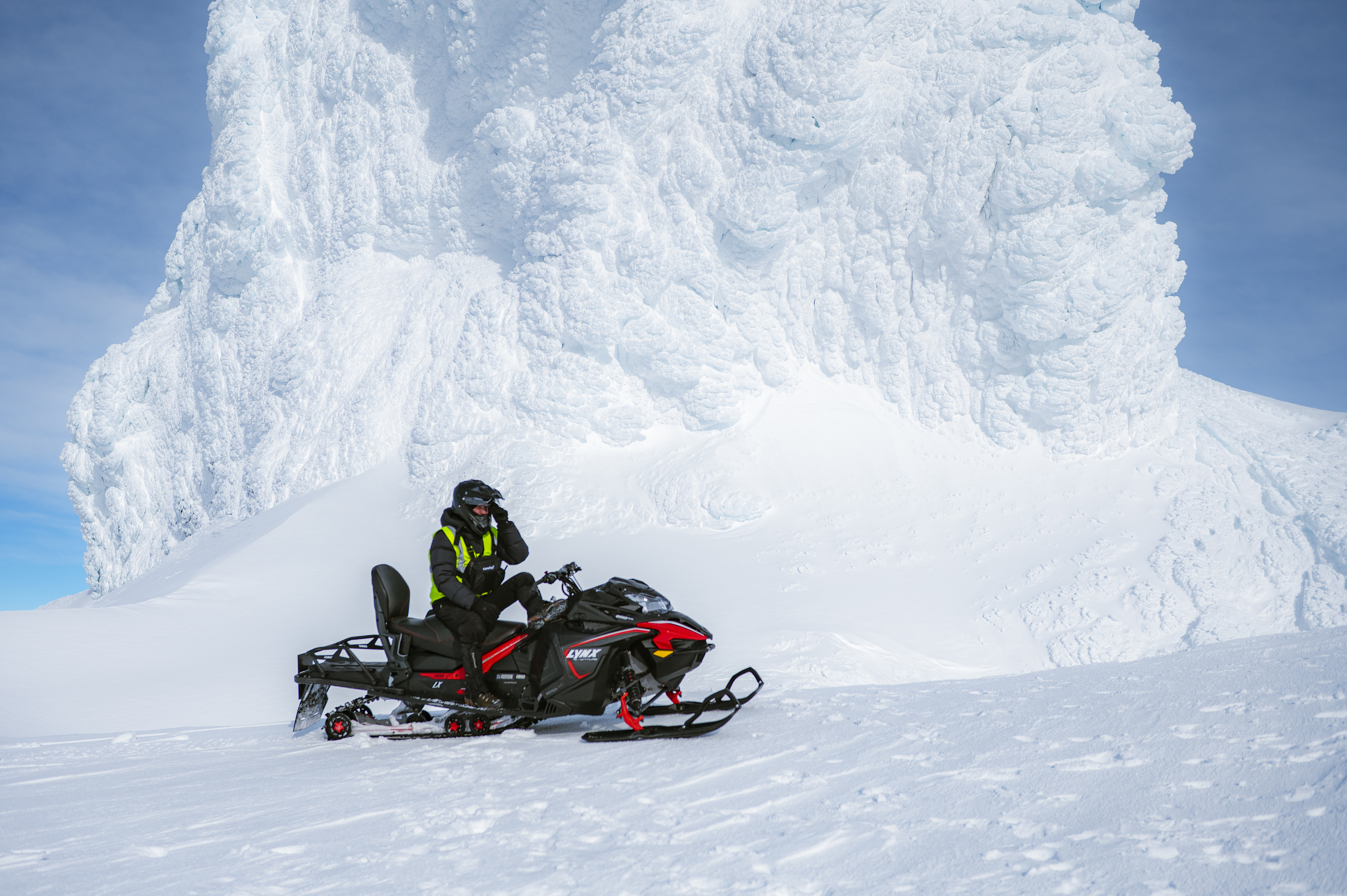
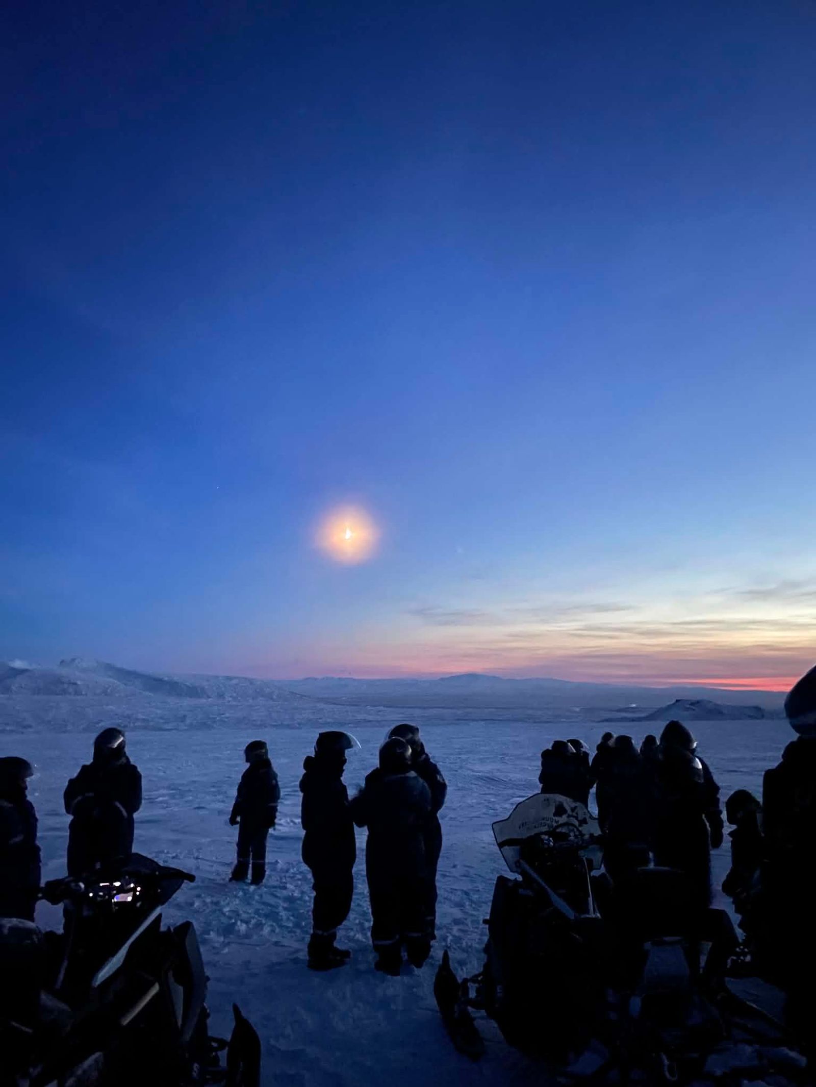
Solo con tours organizados en Super Jeep o moto de nieve: las carreteras F están cerradas y es imposible ir en coche por tu cuenta. No se permite viajar de forma independiente en invierno.
En refugios de montaña y campings de Landmannalaugar, Þórsmörk y Kerlingarfjöll (reserva los refugios con mucha antelación), o con base en Hella/Hvolsvöllur, en el límite con el sur.
Seguir explorando
Extensiones fáciles desde Tierras Altas de Islandia
Todo lo que necesitas en un solo lugar
Empieza tu aventura
Planifica tu viaje con IA, reserva tours, encuentra hoteles — todo en un lugar.
Drive only on legal tracks and walk on established paths where geothermal soils and moss are vulnerable.
Landmannalaugar, rhyolite mountains and Highland roads
regionHub.bookExperienceBadge
Experiencias reservables de operadores locales en Islandia
 8 hours
Southcoast Adventure
Desde
250,000 ISK
 5 hours
Southcoast Adventure
Desde
190,990 ISK
 11 hours
Southcoast Adventure
Desde
69,990 ISK
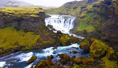 10 hours
Southcoast Adventure
Desde
72,490 ISK
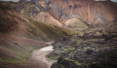 4 hours
Nordur Travel Services ehf
Desde
12,220 ISK
 9 hours
Moonwalker
Desde
250,000 ISK
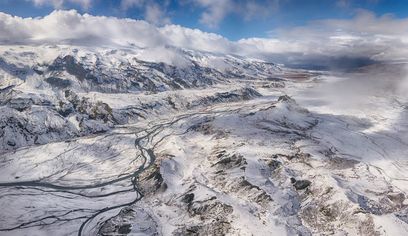 6 hours
Southcoast Adventure
Desde
39,990 ISK
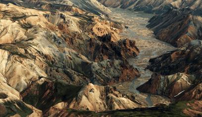 2 hours
Atlantsflug
Desde
179,900 ISK
 1 hour 30 minutes
Highland Base / Fannborg ehf
Desde
5,500 ISK
Experiencia de primera mano
 ✓ Experiencia de primera mano
 ✓ Experiencia de primera mano