
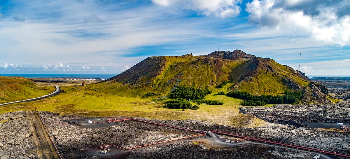
Þorbjörn - gönguleið
A short climb of the 243 m subglacial mountain above Grindavík, with wide Reykjanes views, WWII remains and the Þjófagjá legend of fifteen thieves.
At a Glance
Visit time
Around 1–2 hours depending on route.
Best Season
Clear, calm weather and a period of stable official access around Grindavík.
Getting There
Several routes approach the mountain. Check current closures and volcanic safety information before travelling.
GPS
63.8678, -22.4252
About
About Þorbjörn - gönguleið
A short climb of the 243 m subglacial mountain above Grindavík, with wide Reykjanes views, WWII remains and the Þjófagjá legend of fifteen thieves.
Get broad views above Grindavík while combining subglacial geology, WWII remains and the local legend of Þjófagjá on one short hike.
Tours Near Þorbjörn - gönguleið

South Coast Tour - Black Sand Beach, Plane wreck, Skogafoss, Seljalandsfoss guided in Chinese冰岛南岸黑沙滩飞机残骸中文一日团
Magic Iceland Travel · 10 hours 30 minutes
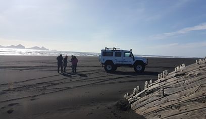
DT 322 Private Superjeep South Coast & Eyjafjallajökull Volcano Sights
Superjeep · 8 hours
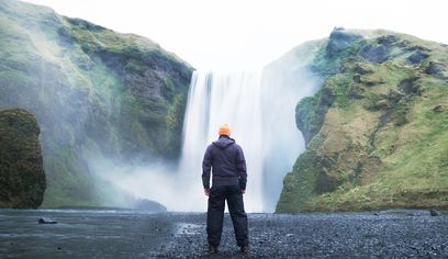
South Coast Waterfalls, Glacier & Black Sand Beach Tour
BusTravel Iceland · 10 hours
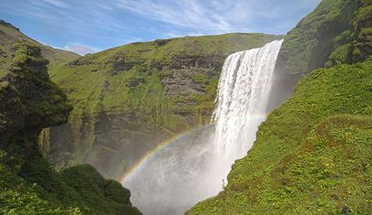
South Coast Small Group Tour: Waterfalls, Glacier & Black Sand Beach
BusTravel Iceland · 10 hours
Photos
Gallery
Background
History & Background
Þorbjörn formed during the last glacial period in a subglacial eruption. During the Second World War Allied forces established a position in the summit depression and constructed a road up the mountain. Remains from that occupation can still be seen.
Þorbjörn is a compact but remarkably layered hiking destination directly north of Grindavík. The mountain rises to 243 metres and was formed during the last glacial period by an eruption beneath ice. Fault movement later cut across the mountain and created a shallow graben at the top, giving the summit area a distinctive broken structure. Reykjanes Geopark describes the hike as around 3–5 kilometres and roughly one hour, although visitors can extend the outing by exploring different summit routes or walking around the mountain. Paths approach from the north and east, including the old vehicle road. Selskógur, a planted woodland at the northern foot, provides a contrasting recreational area below the bare volcanic slopes. Þorbjörn also preserves evidence from the Second World War. Allied forces used the summit depression as a base or observation position and built a road up the mountain; remains of military structures are still visible. The best-known folklore belongs to Þjófagjá. According to the story, fifteen thieves hid in the fissure and stole livestock from people in Grindavík. They were eventually captured after being tricked while bathing at Baðsvellir north of the mountain. Current volcanic conditions around Grindavík can affect access. Check official safety information before hiking, especially during periods of seismic or eruptive unrest.
Folklore
Story & Folklore
Þorbjörn rises only a few hundred metres above Grindavík, but three very different histories overlap on the mountain. Its rock was formed beneath Ice Age ice. During the Second World War soldiers used the summit area as an observation position and left roads and building remains behind. Long before that military chapter, local tradition placed fifteen thieves in Þjófagjá, the fissure cutting through the mountain. The group was said to steal livestock from Grindavík farms until local people finally defeated them through a trick while the thieves bathed at Baðsvellir. A hike on Þorbjörn therefore moves through geology, modern military archaeology and one of the strongest local folktales on Reykjanes.
Did You Know?
World War II military remains are still visible in the summit depression of Þorbjörn, where Allied forces maintained a base or observation position.
Location
Location
Discover
Explore Nearby
Places within 5.0 km
Loading nearby places…
0 places found within 5.0 km
Plan full itinerary →Explore More