
Þingvallavatn
Iceland's largest natural lake, a crystal-clear wonder nestled in the dramatic Þingvellir rift valley.
About
About Þingvallavatn
Iceland's largest natural lake, a crystal-clear wonder nestled in the dramatic Þingvellir rift valley.
Explore Iceland's largest natural lake, a unique ecosystem within the historic Þingvellir rift zone.
Tours Near Þingvallavatn
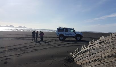
DT 322 Private Superjeep South Coast & Eyjafjallajökull Volcano Sights
Superjeep · 8 hours
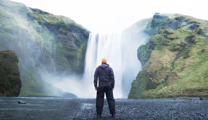
South Coast Waterfalls, Glacier & Black Sand Beach Tour
BusTravel Iceland · 10 hours
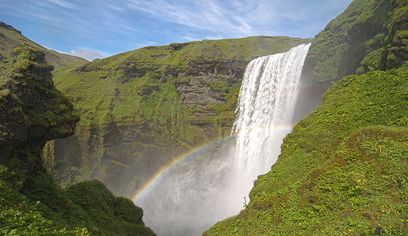
South Coast Small Group Tour: Waterfalls, Glacier & Black Sand Beach
BusTravel Iceland · 10 hours
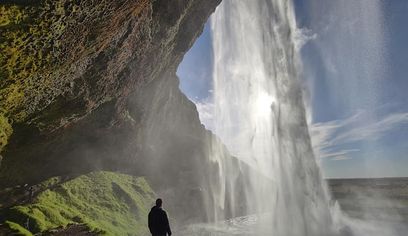
South Coast Waterfalls, Black Beach and Glacier Adventure | Small Group Day Tour
Nicetravel · 11 hours
Photos
Gallery
Background
History & Background
Þingvallavatn, historically known as Ölfusvatn, holds profound significance in Iceland's heritage, not only as its largest natural lake but also due to its integral connection to Þingvellir, the site of the Alþingi, Iceland's ancient national parliament founded in 930 AD. The lake's formation is a direct result of the powerful geological forces shaping the island. It lies within the active rift zone of the Mid-Atlantic Ridge, where the North American and Eurasian tectonic plates slowly pull apart, creating the dramatic landscape seen today. The lake itself formed at the end of the last ice age, approximately 10,000 years ago. This occurred when lava flows from the Eldborgir craters blocked its natural outflow, causing the water level to rise significantly and create the vast lake we see today. This geological isolation, combined with clear, spring-fed waters, has cultivated a distinctive freshwater ecosystem, notably fostering four unique morphs of Arctic charr that are found only here. As a central feature of Þingvellir National Park, a UNESCO World Heritage site, Þingvallavatn stands as a powerful symbol of Iceland's democratic roots and its extraordinary natural environment. Its long-standing presence, reflected in its historical name, underscores its enduring importance to the region and its role in shaping both the landscape and the cultural identity of Iceland.
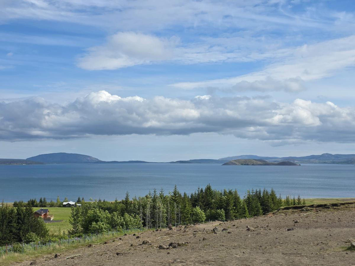
Þingvallavatn, historically known as Ölfusvatn, is Iceland's largest natural lake, a breathtaking expanse covering 83.7 to 84 square kilometers in a rift valley in South Iceland. Its surface, approximately 100.5 to 101 meters above sea level, reflects the dynamic sky and distant landforms, as seen in its majestic blue waters stretching towards the horizon. Geologically, this lake is a marvel, situated directly on the Mid-Atlantic Ridge where the North American and Eurasian tectonic plates diverge. Formed around 10,000 years ago by lava flows that created a natural dam, the lake is fed predominantly (about 90%) by underground springs, ensuring its exceptional clarity and a constant temperature of 3-4°C year-round. This unique environment has fostered a distinctive freshwater ecosystem, most notably home to four endemic morphs of Arctic charr. As a central feature of Þingvellir National Park, a UNESCO World Heritage site, Þingvallavatn symbolizes Iceland's democratic heritage and its unparalleled natural environment. Visitors can enjoy stunning panoramic views from various public roads and viewpoints, observing the interplay of water, land, and sky. While fishing and diving are popular activities, they are subject to local rules and access arrangements, preserving this precious natural wonder.
Folklore
Story & Folklore
Gazing across Þingvallavatn, the vast blue expanse stretches to distant, hazy mountains under a sky dotted with white clouds. This is no ordinary lake; it’s a living testament to Iceland's raw geological power, born from volcanic forces at the end of the last ice age when lava flows blocked its ancient outflow. Its waters, fed by deep underground springs, maintain a constant, icy temperature, creating an ecosystem so unique it fosters four distinct forms of Arctic charr found nowhere else. Imagine standing here, feeling the ancient pull of the Mid-Atlantic Ridge beneath your feet, where continents slowly drift apart, and contemplating the historical echoes of the Alþingi, founded just nearby. The rugged foreground with its scattered rocks and hardy vegetation hints at the land's resilience, while the distant, tranquil waters invite quiet reflection.
Did You Know?
Þingvallavatn is home to four distinct forms of Arctic charr, unique to this lake, and its waters are 90% fed by constant 3-4°C underground springs!
Culture
Stories & Legends
Icelandic sagas and folklore from this area
Explore
Hidden Gems Nearby
Off-Peak Visit
Visit Þingvallavatn during shoulder season (May or September) for a perfect balance of access and solitude.
You'll experience the site without summer crowds while still having good weather and daylight.
Local Flora
Look for the native Icelandic plants growing in the area — Arctic thyme, moss campion, and various lichens.
These resilient plants have adapted to survive harsh conditions and add subtle beauty to the landscape.
Changing Light
Þingvallavatn looks dramatically different depending on the time of day and weather conditions.
Cloud shadows, rain showers, and low-angle sunlight can transform the landscape within minutes — Iceland's famous "four seasons in one day."
Help
Frequently Asked Questions
Location
Location
Discover
Explore Nearby
Places from our database within 5.0 km — all data from Sanity
Loading nearby places…
0 places found within 5.0 km
Plan full itinerary →Explore More