
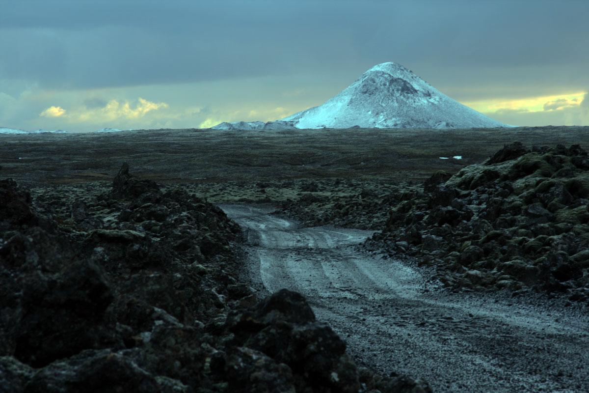
Keilir Mountain Trail
A 7–8 km return hike to the 379 m cone-shaped Keilir, with a steep final climb and wide views across the Reykjanes Peninsula.
At a Glance
Visit time
2–3 hours return.
Best Season
Clear, calm summer conditions give the best summit views and easiest road access.
Getting There
Reach the trailhead by a rough gravel road from Reykjanesbraut; drive slowly and assess road conditions before committing.
GPS
63.9410, -22.1850
About
About Keilir Mountain Trail
A 7–8 km return hike to the 379 m cone-shaped Keilir, with a steep final climb and wide views across the Reykjanes Peninsula.
Climb one of Reykjanes' iconic subglacial mountains for a rewarding summit panorama and a clear example of volcanism beneath Ice Age ice.
Tours Near Keilir Mountain Trail

South Coast Tour - Black Sand Beach, Plane wreck, Skogafoss, Seljalandsfoss guided in Chinese冰岛南岸黑沙滩飞机残骸中文一日团
Magic Iceland Travel · 10 hours 30 minutes
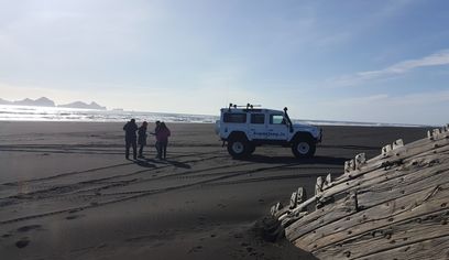
DT 322 Private Superjeep South Coast & Eyjafjallajökull Volcano Sights
Superjeep · 8 hours
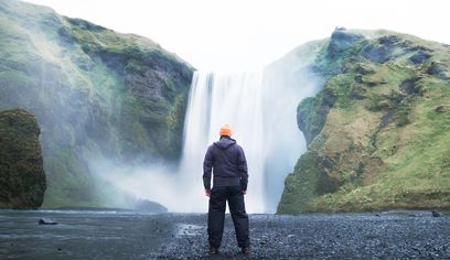
South Coast Waterfalls, Glacier & Black Sand Beach Tour
BusTravel Iceland · 10 hours
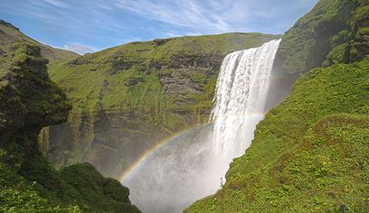
South Coast Small Group Tour: Waterfalls, Glacier & Black Sand Beach
BusTravel Iceland · 10 hours
Photos
Gallery
Background
History & Background
Keilir is a subglacial volcanic formation dating from the Ice Age. Its distinct profile has long served as a visual landmark on Reykjanes. Modern marked hiking access leads from the gravel road south of Reykjanesbraut to the mountain and summit.
Keilir is one of the most distinctive mountains on the Reykjanes Peninsula, a near-symmetrical 379-metre peak rising above surrounding lava fields and low ridges. Reykjanes Geopark describes the standard hike as 7–8 kilometres return, taking roughly 2–3 hours with about 280 metres of elevation gain. The mountain formed during the Ice Age when an eruption occurred beneath a glacier. The interaction between magma, meltwater and ice produced hyaloclastite material rather than the broad lava flows seen in ice-free eruptions. Keilir's isolated cone and adjoining low ridge, Keilisbörn, make the formation easy to recognise from Reykjanesbraut and across much of the peninsula. Most of the approach is moderate, but the final ascent becomes noticeably steeper and includes loose stones and sand. A viewing dial at the summit helps identify surrounding landmarks and the panorama extends across large parts of Reykjanes in clear weather. The access road from the highway is a rough gravel road and should be driven slowly. Winter access can be difficult, and both the road and mountain can become unsafe in snow, ice or strong wind. Hikers should carry suitable clothing, water and navigation and should turn back if visibility or weather deteriorates.
Folklore
Story & Folklore
Keilir's shape makes it look like a simple volcanic cone, but it tells a story of fire beneath ice. The mountain formed during an eruption under an Ice Age glacier. Instead of lava flowing freely across open ground, hot magma met ice and meltwater and shattered into volcanic material that accumulated beneath the glacier. When the ice disappeared, Keilir remained standing above the lower lava fields. Its clear silhouette became a natural landmark across Reykjanes. Today hikers follow the same shape that has guided travellers visually for generations, ending with a steep climb to one of the peninsula's broadest viewpoints.
Did You Know?
Keilir formed during an eruption beneath an Ice Age glacier and is made largely of hyaloclastite rather than a simple pile of lava flows.
Location
Location
Discover
Explore Nearby
Places within 5.0 km
Loading nearby places…
0 places found within 5.0 km
Plan full itinerary →Explore More