Fagradalsfjall Volcano Trail
Marked hiking routes from P1 and P2 lead through the Fagradalsfjall eruption landscape, with views of lava from the 2021, 2022 and 2023 eruptions.
At a Glance
Visit time
Allow 2–5 hours depending on the selected route and conditions.
Best season
Choose good visibility, low wind and favourable gas conditions. Check official updates on the same day.
Access
Use P1 or P2 and current mapped trails only. Do not enter closed Sundhnúksgígar areas or walk on new lava.
GPS
63.8930, -22.2690
About
About Fagradalsfjall Volcano Trail
Marked hiking routes from P1 and P2 lead through the Fagradalsfjall eruption landscape, with views of lava from the 2021, 2022 and 2023 eruptions.
Walk through one of Iceland's youngest volcanic landscapes and view lava from the 2021–2023 Fagradalsfjall eruptions from established routes.
Photos
Photo Gallery
Background
History & Background
The current eruptive period on Reykjanes began at Fagradalsfjall in March 2021, followed by eruptions in 2022 and 2023. Marked visitor routes and parking areas were developed as the area became a major hiking destination. Later volcanic activity shifted toward the Sundhnúksgígar system, making current access information essential.
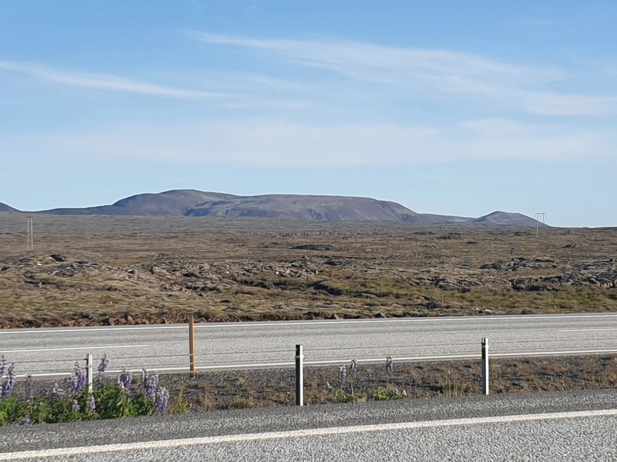
The Fagradalsfjall volcano trail network gives visitors access to the landscapes created during the eruptions of 2021, 2022 and 2023 east of Grindavík. Rather than one single trail, the area has several mapped hiking routes starting from the P1 and P2 parking areas along Suðurstrandarvegur. The terrain is rough and highly exposed. Routes cross gravel, uneven ground, older lava and steep sections, and the length of a visit depends on which viewpoint is chosen. Reykjanes Geopark describes the Fagradalsfjall–Langhóll hike as roughly 8–10 km and 2–3 hours, while Visit Reykjanes maintains the current eruption-area trail maps and parking information. The most important feature of this attraction is that access is dynamic. The volcanic unrest on Reykjanes has continued beyond Fagradalsfjall into the Sundhnúksgígar area. A route being open one week does not guarantee the same access later. Visitors must check current official information immediately before travelling. Walking on new lava is prohibited and dangerous. Apparently solid crust can hide heat, cavities and unstable sections. Weather, gas pollution and visibility can also make an otherwise open route unsafe. Good hiking shoes, waterproof layers, food, water and a charged phone are basic requirements. Parking fees apply at P1 and P2 under separate arrangements.
Folklore
Story & Folklore
When the eruption began at Fagradalsfjall on 19 March 2021, it ended centuries without an eruption on the Reykjanes Peninsula. New lava filled valleys such as Geldingadalur and created a landscape that changed in front of visitors, scientists and residents. Further eruptions followed in 2022 and 2023, and volcanic activity later shifted toward Sundhnúksgígar. The marked hiking routes around Fagradalsfjall now lead through the record of those earlier eruptions. What makes the walk unusual is that it is both a hiking destination and a recent geological archive: valleys, viewpoints and paths have had to adapt as new lava changed the terrain.
💡 Did You Know?
The Fagradalsfjall eruption that began on 19 March 2021 marked the start of the current eruptive period on the Reykjanes Peninsula.
Location
📍 Location
Discover
Explore Nearby
Places from our database within 1.0 km — all data from Sanity
Loading nearby places…
0 places found within 1.0 km
Plan full itinerary →Explore More