

Jokulsargljufur Canyon
Jökulsárgljúfur er stórkostlegt 25 km langt og allt að 120 metra djúpt gljúfur grafið af Jökulsá á Fjöllum, næstlengstu á Íslands. Gljúfrið myndaðist við hamfar…
Stuttlega
Heimsóknartími
2–3 hours
Besta árstíð
June–September
Leiðarvísir
Route 862 (paved) and Route 864 (gravel) from Route 1
GPS
66.0027, -16.4523
Um
Um Jokulsargljufur Canyon
Jökulsárgljúfur er stórkostlegt 25 km langt og allt að 120 metra djúpt gljúfur grafið af Jökulsá á Fjöllum, næstlengstu á Íslands. Gljúfrið myndaðist við hamfaraflóð frá jökulhlaupi í kjölfar eldgosa undir Vatnajökli, þar sem síðasta stóra flóðið átti sér stað fyrir um 2.500 árum. Svæðið varð hluti af Vatnajökulsþjóðgarði árið 2008 en hafði áður verið sjálfstæður þjóðgarður frá 1973.
Ferðir nálægt Jokulsargljufur Canyon
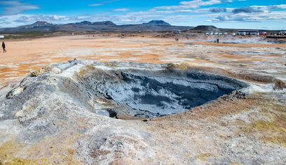
Lake Mývatn Shore Excursion from Akureyri Port - German
Iceland Horizon - Saga Travel - GeoIceland · 6 hours
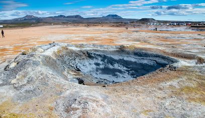
Lake Mývatn Shore Excursion from Akureyri Port - Spanish
Iceland Horizon - Saga Travel - GeoIceland · 6 hours
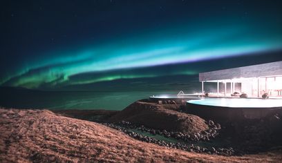
Private Northern Lights & GeoSea Geothermal Baths Tour (from Akureyri)
Imagine Iceland Travel · 5 hours
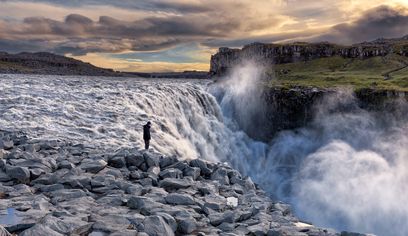
Dettifoss Waterfall, Ásbyrgi and Lake Mývatn - Shore Excursion from Húsavík
BusTravel Iceland · 5 hours 30 minutes
Myndir
Myndavefur
Bakgrunnur
Saga og bakgrunnur
Jökulsárgljúfur was established as a national park in 1973 to protect the dramatic canyon system and its unique geology. According to Norse mythology, Ásbyrgi canyon was formed by Óðinn's eight-legged horse Sleipnir touching down with one hoof. Scientists believe the canyon and surrounding landscape were shaped by at least two catastrophic glacial floods from eruptions beneath Vatnajökull, the most recent about 2,500 years ago. The area merged with Vatnajökull National Park in 2008.
Jökulsárgljúfur canyon is a spectacular 25-kilometer-long and up to 120-meter-deep canyon carved by the Jökulsá á Fjöllum river, Iceland's second-longest river. The canyon was formed by catastrophic glacial floods (jökulhlaups) following volcanic eruptions beneath Vatnajökull glacier, with the most recent major flood occurring around 2,500 years ago. The area became part of Vatnajökull National Park in 2008, having previously been an independent national park since 1973. Key attractions include Dettifoss (Europe's most powerful waterfall), the horseshoe-shaped Ásbyrgi canyon with its lush birch forest, Hljóðaklettar (echoing rocks) with unusual basalt formations, and countless smaller waterfalls and rock formations. The entire area showcases the raw power of nature and Iceland's volcanic and glacial forces working in concert.
Þjóðsögur
Saga og þjóðsögur
Jökulsárgljúfur — 'Glacial River Canyon' — is the largest canyon in Europe, carved by catastrophic glacial floods in the last 10,000 years. The canyon stretches 25 kilometres through the northern Highlands to Ásbyrgi at its northern end. The Jökulsá á Fjöllum river carved it in pulses: each time the subglacial Bárðarbunga volcano erupted under Vatnajökull, a catastrophic jökulhlaup (glacier flood) swept down the valley, carving the canyon walls deeper. Today the canyon holds Dettifoss (Europe's most powerful waterfall), Selfoss, Hafragilsfoss, as well as Hljóðaklettar's spiral basalt formations. The entire canyon is within Vatnajökull National Park.
Staðbundin þjóðsaga
Legends of Jokulsargljufur Canyon Area
Jokulsargljufur Canyon Area has been part of Icelandic folklore for generations. Local tales speak of hidden people (huldufólk) and other supernatural beings who inhabit the area. According to tradition, this place deserves respect and visitors should be mindful of the ancient spirits who call it home.
Staðsetning
Staðsetning
Discover
Explore Nearby
Places within 5.0 km
Loading nearby places…
0 places found within 5.0 km
Plan full itinerary →Kanna meira