
Landeyjasandur
Broad black-sand coast facing Vestmannaeyjar and home to Landeyjahöfn ferry harbour.
At a Glance
Visit time
Allocate 1-2 hours to walk the beach, observe birds, and enjoy the views; longer if catching the ferry.
Best Season
Late Spring to Early Autumn (May-September) for best weather and ferry reliability.
Getting There
Easily accessible via paved roads, with good access to the beach itself. Parking is available near Landeyjahöfn.
GPS
63.7333, -20.6667
About
About Landeyjasandur
Broad black-sand coast facing Vestmannaeyjar and home to Landeyjahöfn ferry harbour.
Experience Iceland's unique black sand coastline, observe abundant birdlife, and witness a vital connection to the Westman Islands.
Tours Near Landeyjasandur

South Coast Tour - Black Sand Beach, Plane wreck, Skogafoss, Seljalandsfoss guided in Chinese冰岛南岸黑沙滩飞机残骸中文一日团
Magic Iceland Travel · 10 hours 30 minutes
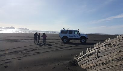
DT 322 Private Superjeep South Coast & Eyjafjallajökull Volcano Sights
Superjeep · 8 hours
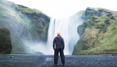
South Coast Waterfalls, Glacier & Black Sand Beach Tour
BusTravel Iceland · 10 hours
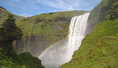
South Coast Small Group Tour: Waterfalls, Glacier & Black Sand Beach
BusTravel Iceland · 10 hours
Photos
Gallery
Background
History & Background
Geologically, Landeyjasandur's black sands are a testament to Iceland's volcanic origins, formed over millennia from the erosion of volcanic rock. This natural process created a beach of remarkable depth, reaching up to 260 meters below sea level at its thickest points. The area gained significant strategic importance with the inauguration of Landeyjahöfn on July 21, 2010. This modern ferry terminal dramatically altered access to the Vestmannaeyjar (Westman Islands), cutting the ferry journey from approximately three hours (from Þorlákshöfn) to a mere 30 minutes over a 12-kilometer distance. This infrastructure project has since served as a critical link for residents and tourists alike, despite the challenges posed by sand and silt accumulation requiring regular dredging. While Landeyjasandur is a relatively recent development in terms of its role as a transport hub, direct references to it as a specific settlement or location of significant historical events are not found in ancient Icelandic sagas like Landnámabók or Íslendingasögur. Its historical significance is more tied to its geological formation and its modern strategic value, which continues to evolve with ongoing exploratory drilling for a proposed subsea tunnel to the Westman Islands.
Landeyjasandur stretches along the exposed South Coast below Landeyjar. The dark sand and shallow coastal waters are continually reshaped by waves, sediment and river-borne material. Landeyjahöfn opened here to provide a shorter ferry route to Vestmannaeyjar, but sailings can be affected by weather, waves and harbour conditions. Travellers should check current ferry information rather than relying on fixed crossing assumptions.
Folklore
Story & Folklore
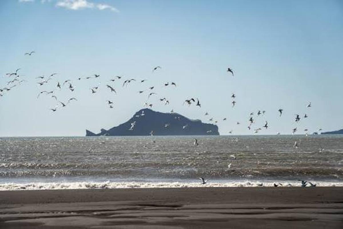
The wind whips off the Atlantic, carrying the salty tang of the sea across Landeyjasandur's expansive black sands. Above, a symphony of wings fills the air as countless seabirds, dark silhouettes against the bright sky, soar and dive in a mesmerizing dance. The rhythmic crash of waves against the shore creates a powerful soundtrack, each crest leaving a foamy white lace on the dark volcanic grains. In the distance, a rugged island rises from the shimmering waters, a mysterious sentinel on the horizon. This isn't just a beach; it's a vibrant spectacle of nature's raw beauty, a place where the wild spirit of Iceland truly takes flight, connecting land, sea, and sky in an unforgettable embrace. Standing here, you feel the profound pulse of this ancient land, alive with the movement of the ocean and the grace of its winged inhabitants.
Did You Know?
Landeyjasandur is home to Landeyjahöfn, a crucial ferry terminal that dramatically cut travel time to Vestmannaeyjar from 3 hours to just 30 minutes!
Explore
Hidden Gems Nearby
Landeyjahöfn
Visit the modern ferry terminal that connects the mainland to the Westman Islands. Witness the Herjólfur ferry docking and departing.
It's a marvel of engineering built on sand, crucial for island connectivity.
Eyjasandur
Explore the western section of Landeyjasandur, offering vast stretches of black sand and potentially different views of the coastline.
A quieter, expansive part of the beach perfect for reflection and birdwatching.
Krosssandur
Discover the eastern part of Landeyjasandur, which might offer distinct perspectives of the beach's unique geology and the surrounding ocean.
Another segment of the stunning black sand beach, ideal for long walks and photography.
Help
Frequently Asked Questions
Location
Location
Discover
Explore Nearby
Places within 5.0 km
Loading nearby places…
0 places found within 5.0 km
Plan full itinerary →Explore More