
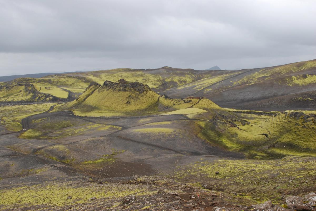
Lakagígar
25-kilometre crater row created by the 1783–1784 Skaftáreldar eruption.
About
About Lakagígar
25-kilometre crater row created by the 1783–1784 Skaftáreldar eruption.
An impressive volcano — evidence of Iceland's powerful geological activity.
Tours Near Lakagígar

South Coast Tour - Black Sand Beach, Plane wreck, Skogafoss, Seljalandsfoss guided in Chinese冰岛南岸黑沙滩飞机残骸中文一日团
Magic Iceland Travel · 10 hours 30 minutes
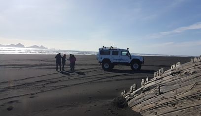
DT 322 Private Superjeep South Coast & Eyjafjallajökull Volcano Sights
Superjeep · 8 hours
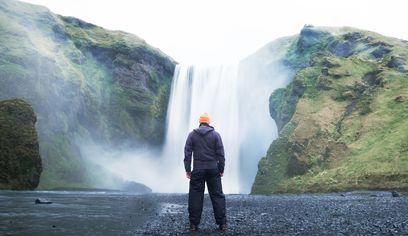
South Coast Waterfalls, Glacier & Black Sand Beach Tour
BusTravel Iceland · 10 hours
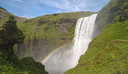
South Coast Small Group Tour: Waterfalls, Glacier & Black Sand Beach
BusTravel Iceland · 10 hours
Photos
Gallery
Lakagígar is a long volcanic fissure and crater row extending across the highlands west of Vatnajökull. It formed during the Skaftáreldar eruption of 1783–1784, one of the most consequential eruptions in Icelandic history. Laki mountain stands close to the middle of the crater row and provides a broad overview of the system. The area is within Vatnajökull National Park and is reached by seasonal highland roads that require suitable vehicles and current road-condition checks.
Did You Know?
Lakagígar is about 25 kilometres long.
Location
Location
Discover
Explore Nearby
Places within 5.0 km
Loading nearby places…
0 places found within 5.0 km
Plan full itinerary →Explore More