Iceland · Travel Guide 2026
Things to Do in Þingvellir
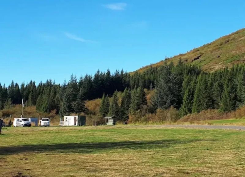
Þingvellir National Park is a place where history, geology, and breathtaking natural beauty converge. It's a UNESCO World Heritage site, famous as the original site of Iceland's parliament and for its dramatic rift valley, visibly splitting two continents.
Top Highlights
- Almannagjá Gorge and the Lögberg (Law Rock)
- Silfra Fissure (for snorkeling/diving between continents)
- Öxarárfoss waterfall
- Þingvallavatn (Iceland's largest natural lake)
- Hakið viewpoint overlooking the rift valley
Best Time to Visit
The best time to visit Þingvellir is during the summer months (June to August) when the weather is mild, days are long, and the landscape is vibrantly green, perfect for hiking and outdoor activities. However, a winter visit offers a starkly beautiful, snow-dusted landscape and potential Northern Lights sightings.
Complete Travel Guide to Þingvellir
Þingvellir National Park is a place where history, geology, and breathtaking natural beauty converge. It's a UNESCO World Heritage site, famous as the original site of Iceland's parliament and for its dramatic rift valley, visibly splitting two continents.
At a Glance
Region: South Iceland
About This Destination
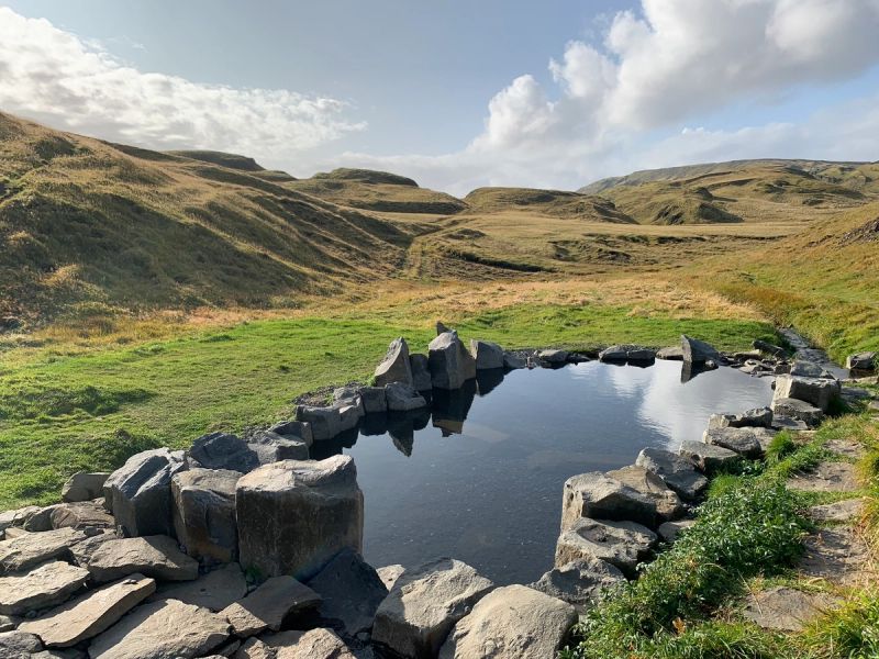
Standing amidst the expansive, verdant landscape depicted, one immediately feels the profound connection to Iceland's past and its dynamic geological present. The park is characterized by the majestic Almannagjá gorge, seen here as the prominent rocky walls flanking a winding path, where the North American and Eurasian tectonic plates slowly pull apart. Lush green fields stretch towards distant mountains under a vast, often dramatic sky, with a serene river winding through the valley. This unique setting offers not just stunning vistas but also a deep dive into the nation's heritage and the raw power of nature.
Famous For
Did You Know?
- UNESCO World Heritage Site since 2004.
- Site of the Althing, the world's first democratic parliament, established in 930 AD.
- The only place on Earth where the Mid-Atlantic Ridge is visible above sea level.
- Þingvallavatn is the largest natural lake in Iceland.
- Part of the famous Golden Circle tourist route.
- The name 'Þingvellir' means 'Parliament Plains'.
Culture & Local Life
Þingvellir holds an unparalleled place in Icelandic culture and national identity. It was here, in 930 AD, that the Althing, the world's first democratic parliament, was established, shaping the laws and destiny of the nascent Icelandic nation for centuries. This annual gathering fostered a strong sense of community and justice, deeply embedding the principles of law and peaceful resolution into the Icelandic psyche. Beyond its legislative importance, Þingvellir is seen as a symbol of Iceland's resilience and its profound connection to nature. The dramatic landscape, forged by the powerful forces of continental drift, mirrors the rugged spirit of its people. Visiting Þingvellir is not just a journey through a beautiful landscape, but a pilgrimage to the very heart of Icelandic heritage, where the echoes of ancient sagas and the spirit of a nation can still be felt.
Top Things to Do
- Walk through the Almannagjá gorge
- Snorkel or dive in the crystal-clear waters of Silfra Fissure
- Visit the historic site of the Althing
- Hike along the various marked trails, enjoying panoramic views
- Photograph the dramatic geological formations and Öxarárfoss
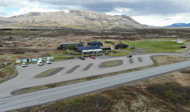
- Explore the Visitor Centre for historical insights
- Enjoy a picnic with views of Þingvallavatn
- Go fishing in Þingvallavatn (with a permit)
Hidden Gems
- The less-frequented paths leading to minor historical ruins
- The peaceful walk along the banks of the Öxará river away from the main crowds
- Exploring the smaller, lesser-known rifts and fissures off the main tourist route
Explore Þingvellir
Suggested 3-Day Itinerary
Day 1: Arrive at Þingvellir and head straight to the Hakið viewpoint for a panoramic introduction to the rift valley. Descend into the dramatic Almannagjá gorge, following the path through the tectonic plates to the historic Lögberg (Law Rock). Spend the afternoon exploring the visitor center and the nearby Öxarárfoss waterfall, soaking in both the natural beauty and the profound history.
Day 2: Dedicate your morning to an unforgettable snorkeling or diving experience in the Silfra Fissure, floating between two continents in crystal-clear glacial water. In the afternoon, embark on a scenic hike along the eastern side of the park, discovering quieter trails and enjoying breathtaking views of Þingvallavatn, Iceland's largest natural lake.
Day 3: Explore the lesser-known historical ruins and pathways around the park, seeking out peaceful spots for reflection and photography. Consider a gentle walk along the Öxará river away from the main crowds, or visit the Þingvellir Church. Conclude your visit with a final contemplation of the vast, open landscapes and the unique geological formations that define this extraordinary place.
Practical Information
- Best Time: The best time to visit Þingvellir is during the summer months (June to August) when the weather is mild, days are long, and the landscape is vibrantly green, perfect for hiking and outdoor activities. However, a winter visit offers a starkly beautiful, snow-dusted landscape and potential Northern Lights sightings.
- Transport: Þingvellir is easily accessible by car, located about 45 minutes east of Reykjavík, making a rental car the most flexible option. Numerous tour operators also offer guided bus tours to Þingvellir as part of the popular Golden Circle route, providing convenient transportation.
- Budget: Mid-range
- Suggested Duration: Full day
FAQ
0 tours found
4.8 average rating
Secure booking
Powered by Viator
Free cancellation
On most tours
️
Local experts
Trusted by millions