
Þingvallavatn
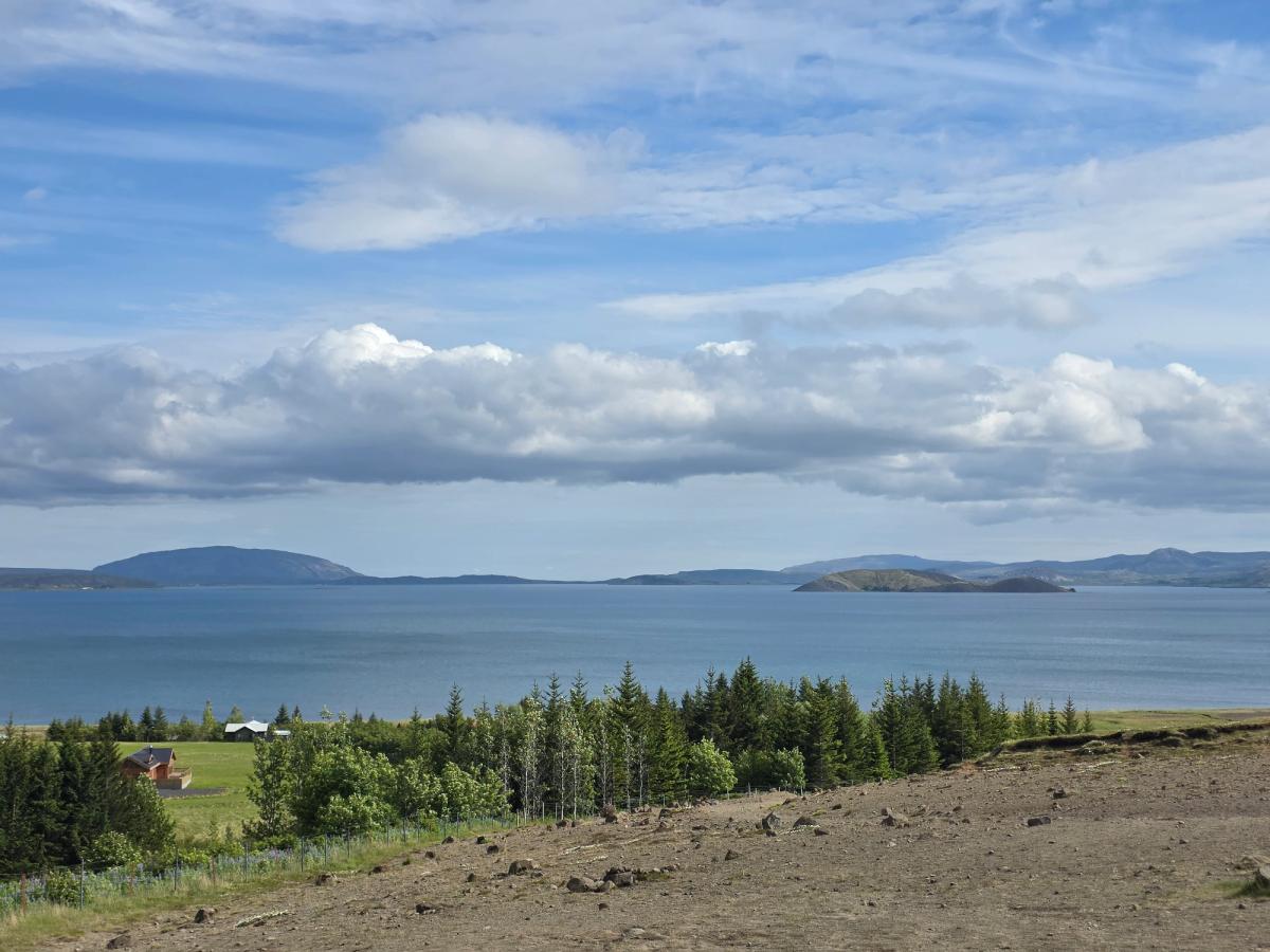
Þingvallavatnは、Þingvellir地溝帯の中に広がるアイスランド最大の天然湖です。地下湧水に育まれた清澄な湖面に遠くの岸辺が映り込み、大地の雄大な地質学的力を感じさせます。
について
Þingvallavatnについて
Þingvallavatnは、Þingvellir地溝帯の中に広がるアイスランド最大の天然湖です。地下湧水に育まれた清澄な湖面に遠くの岸辺が映り込み、大地の雄大な地質学的力を感じさせます。
Þingvallavatn近くのツアー

South Coast Tour - Black Sand Beach, Plane wreck, Skogafoss, Seljalandsfoss guided in Chinese冰岛南岸黑沙滩飞机残骸中文一日团
Magic Iceland Travel · 10 hours 30 minutes
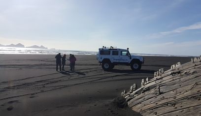
DT 322 Private Superjeep South Coast & Eyjafjallajökull Volcano Sights
Superjeep · 8 hours
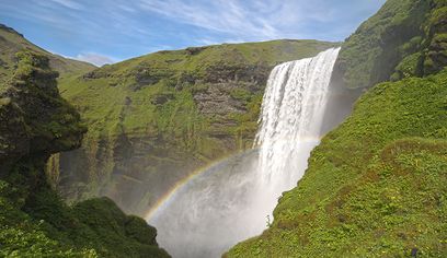
South Coast Small Group Tour: Waterfalls, Glacier & Black Sand Beach
BusTravel Iceland · 10 hours
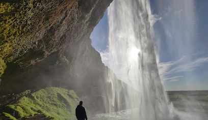
South Coast Waterfalls, Black Beach and Glacier Adventure | Small Group Day Tour
Nicetravel · 11 hours
Þingvallavatnへレンタカーで
車で訪れる予定ですか?地域に合う車種を比較し、旅行日程に応じた実際のレンタカー料金を確認できます。
ここでリアルタイムの空車を検索
車種は提案であり、リアルタイムの料金や在庫ではありません。GoIceTravelは追加費用なしで紹介料を受け取る場合があります。
写真
ギャラリー
背景
歴史と背景
Þingvallavatn, historically known as Ölfusvatn, holds profound significance in Iceland's heritage, not only as its largest natural lake but also due to its integral connection to Þingvellir, the site of the Alþingi, Iceland's ancient national parliament founded in 930 AD. The lake's formation is a direct result of the powerful geological forces shaping the island. It lies within the active rift zone of the Mid-Atlantic Ridge, where the North American and Eurasian tectonic plates slowly pull apart, creating the dramatic landscape seen today. The lake itself formed at the end of the last ice age, approximately 10,000 years ago. This occurred when lava flows from the Eldborgir craters blocked its natural outflow, causing the water level to rise significantly and create the vast lake we see today. This geological isolation, combined with clear, spring-fed waters, has cultivated a distinctive freshwater ecosystem, notably fostering four unique morphs of Arctic charr that are found only here. As a central feature of Þingvellir National Park, a UNESCO World Heritage site, Þingvallavatn stands as a powerful symbol of Iceland's democratic roots and its extraordinary natural environment. Its long-standing presence, reflected in its historical name, underscores its enduring importance to the region and its role in shaping both the landscape and the cultural identity of Iceland.
Þingvallavatn, historically known as Ölfusvatn, is Iceland's largest natural lake, a breathtaking expanse covering 83.7 to 84 square kilometers in a rift valley in South Iceland. Its surface, approximately 100.5 to 101 meters above sea level, reflects the dynamic sky and distant landforms, as seen in its majestic blue waters stretching towards the horizon. Geologically, this lake is a marvel, situated directly on the Mid-Atlantic Ridge where the North American and Eurasian tectonic plates diverge. Formed around 10,000 years ago by lava flows that created a natural dam, the lake is fed predominantly (about 90%) by underground springs, ensuring its exceptional clarity and a constant temperature of 3-4°C year-round. This unique environment has fostered a distinctive freshwater ecosystem, most notably home to four endemic morphs of Arctic charr. As a central feature of Þingvellir National Park, a UNESCO World Heritage site, Þingvallavatn symbolizes Iceland's democratic heritage and its unparalleled natural environment. Visitors can enjoy stunning panoramic views from various public roads and viewpoints, observing the interplay of water, land, and sky. While fishing and diving are popular activities, they are subject to local rules and access arrangements, preserving this precious natural wonder.
民話
物語と民話
Þingvallavatnの広大な青い水面を眺めると、白い雲をちりばめた空の下、霞む山々が遠くに連なります。この湖はただの湖ではありません。最後の氷河期が終わる頃、溶岩流が古い流出口を塞いで誕生した、アイスランドの地質的な力の証です。深い地下湧水に満たされた湖は一定の冷たさを保ち、他のどこにも存在しない4つの独立した形態のアークティックチャーが生息する独自の生態系を育んでいます。足元の中央大西洋海嶺では大陸が今もゆっくりと離れ続け、すぐ近くには930年に設立されたアルシンギ(国会)の歴史的な地があります。散らばる岩と逞しい植物が広がる手前の大地はこの土地の強さを物語り、遠くに広がる静かな水面は深い思索へと誘います。
文化
物語と伝説
この地域のアイスランドのサガと民話
場所
場所
もっと探索