Stóra Grábrók
Stóra Grábrók is a prominent scoria crater in West Iceland, offering stunning panoramic views.
About
About Stóra Grábrók
Stóra Grábrók is a prominent scoria crater in West Iceland, offering stunning panoramic views.
Hike an easily accessible volcanic crater for panoramic views of Iceland's unique geological landscape.
Photos
Photo Gallery
Background
History & Background
Stóra Grábrók is a prominent scoria crater, part of a volcanic fissure belonging to the Ljósufjöll volcanic system in West Iceland. Its formation, along with the surrounding Grábrókarhraun lava field, dates back approximately 3,400 to 4,000 years ago. This explosive eruption ejected volcanic fragments that accumulated to form the distinct scoria cone we see today, standing about 170 meters high. The massive lava flow generated during this event covered an area of roughly 7 km² and had an average thickness of 20 meters, fundamentally altering the local topography. One significant consequence of the Grábrókarhraun lava flow was its interaction with the Norðurá river. The lava effectively dammed the river, leading to the creation of the beautiful Lake Hreðavatn, a notable feature in the region. Recognizing its unique geological features and the importance of its preservation, Stóra Grábrók and the surrounding lava fields were officially protected as a natural monument in 1962. Today, it stands as an accessible and well-preserved example of Iceland's dynamic volcanic history, offering visitors a direct connection to the forces that shaped this young land.
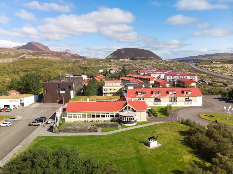
Stóra Grábrók is a remarkable scoria crater located in West Iceland, northeast of Hreðavatn lake, near the university village of Bifröst. As the largest of three craters on a short volcanic fissure, it forms part of the extensive Ljósufjöll volcanic system. This well-preserved geological wonder was formed approximately 3,400 to 4,000 years ago during an explosive eruption that also created the Grábrókarhraun lava field, covering an area of about 7 km². This ancient lava flow even played a role in shaping the landscape by damming the Norðurá river, leading to the formation of the picturesque Lake Hreðavatn. Since 1962, Stóra Grábrók and its surrounding lava fields have been protected as a natural monument, recognizing their significant geological importance and natural beauty. Standing at approximately 170 meters (558 feet) high, the crater offers an easily accessible hiking experience. A well-maintained path, visible in the image, leads to the top, providing visitors with an immersive journey through volcanic terrain. From the summit, you are rewarded with panoramic views that sweep across the moss-covered lava fields, the tranquil waters of Lake Hreðavatn, and the rugged, distant peaks, including the iconic Baula mountain. It's an ideal spot for nature enthusiasts, photographers, and anyone looking to experience Iceland's unique volcanic geology firsthand.
Folklore
Story & Folklore
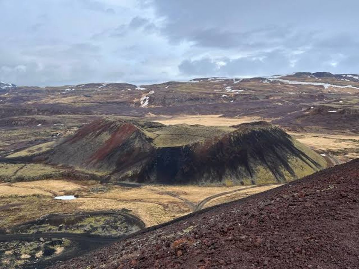
Step back in time at Stóra Grábrók, where the raw power of Iceland's geological youth is etched into the landscape. Thousands of years ago, a fiery eruption here spewed forth the scoria that built this impressive crater, captured in the image with its distinct red and dark rock. The resulting Grábrókarhraun lava field, now softened by a blanket of green moss, stretches out below, a testament to nature's artistry. As you ascend its well-trodden paths, the air hums with the silence of ancient forces. From the summit, a breathtaking panorama unfolds: the serene blue of Lake Hreðavatn, the sprawling lava fields, and the distant, majestic Baula mountain, all framed by the dramatic Icelandic sky. It's a place where every vista tells a story of creation and enduring beauty.
💡 Did You Know?
Stóra Grábrók is the largest of three craters formed around 3,400 to 4,000 years ago, part of the Ljósufjöll volcanic system.
Culture
Stories & Legends
Icelandic sagas and folklore from this area
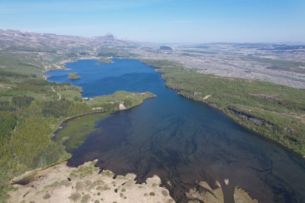
Hreðavatn
Hreðavatn is a historic location in Iceland mentioned in "Gunnlaugs saga ormstungu, Hallfreðar saga vandræðaskálds", one of the ancient Íslendingasögur (Sagas of Icelanders). These medieval narratives preserve the history of Iceland's Viking Age settlement.
Hvassafell
Hvassafell is a historic location in Iceland mentioned in "Fóstbræðra saga", one of the ancient Íslendingasögur (Sagas of Icelanders). These medieval narratives preserve the history of Iceland's Viking Age settlement.
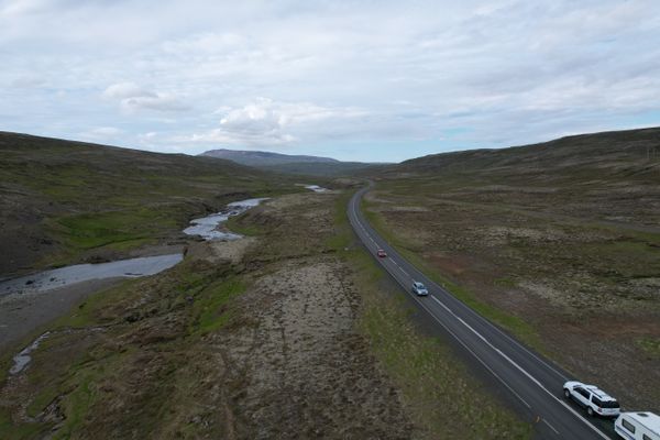
Norðurárdalur
Norðurárdalur: A valley echoing with sagas of feuds, heroes, and the enduring spirit of the land.
Explore
Hidden Gems Nearby
✦ Grábrókarhraun lava field
Explore the moss-covered Grábrókarhraun lava field surrounding the crater, formed by the same ancient eruption. Its unique texture and vibrant green moss make for stunning photography.
It offers a tangible connection to the crater's fiery past and a unique ecological experience.
✦ Lake Hreðavatn
Visible from the summit, this serene lake was formed when the Grábrókarhraun lava flow dammed the Norðurá river. It's a picturesque spot perfect for quiet contemplation.
The lake is a direct geological consequence of Stóra Grábrók's eruption and offers tranquil beauty.
✦ Baula Mountain
On a clear day, the distinctive pyramid-shaped Baula mountain is visible in the distance from the crater's rim, adding another layer to the panoramic views.
It's a striking geological landmark that complements the views from Stóra Grábrók.
Help
Frequently Asked Questions
Location
📍 Location
Discover
Explore Nearby
Places from our database within 1.0 km — all data from Sanity
Loading nearby places…
0 places found within 1.0 km
Plan full itinerary →Explore More