
Lakagígar (Laki Craters)
Laki is a volcanic fissure system in the central Highlands that produced one of the most catastrophic volcanic events in recorded history — an eruption in 1783–…
概要
訪問時間
Allow at least half a day for the Lakagígar circuit and stops; a full day is better if hiking Laki or additional marked trails.
最適な季節:
Summer only, after F206 and F207 have officially opened and river and weather conditions are suitable.
アクセス
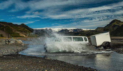
Four-wheel drive is required. The road includes four unbridged river crossings that can rise rapidly after rain. Check official road conditions and ask rangers or Skaftárstofa for current advice before entering the route.
GPS
64.0667, -18.2333
について
Lakagígar (Laki Craters)について
Laki is a volcanic fissure system in the central Highlands that produced one of the most catastrophic volcanic events in recorded history — an eruption in 1783–84 that changed global climate and caused mass death across Europe.
Experience a volcanic landscape of exceptional scale and history, with marked trails and views across the Lakagígar crater row.
Lakagígar (Laki Craters)近くのツアー
写真
ギャラリー
背景
歴史と背景
The Laki eruption of June 1783 – February 1784 was one of the most consequential volcanic events in human history. The eruption produced 14 km³ of lava — the largest lava flow in historical times — and released enormous amounts of sulfur dioxide into the atmosphere. The resulting 'Laki Haze' killed crops across Europe, caused famine that may have contributed to the French Revolution, and the resulting famine in Iceland killed approximately 25% of Iceland's entire population. It also caused an unusually cold winter in North America, disrupting military operations during the American Revolutionary War.
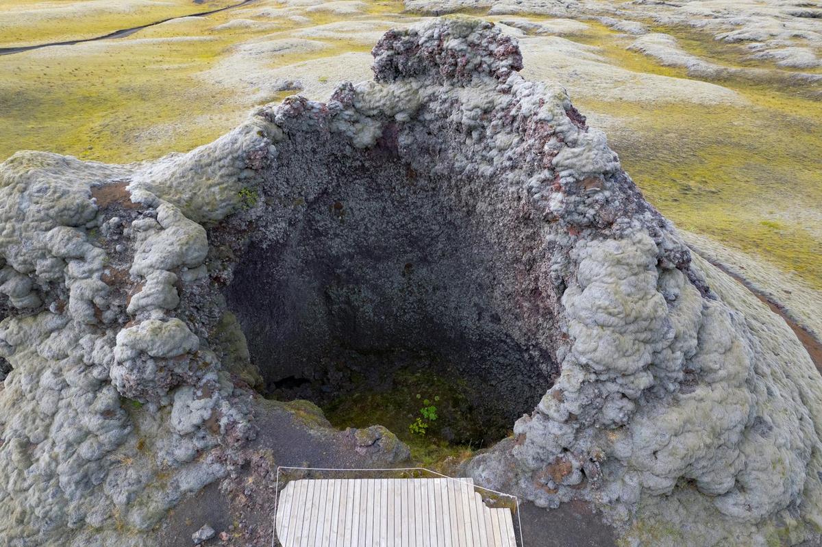
Lakagígar are a crater row extending for more than 29 kilometres in Vatnajökull National Park. More than 130 craters formed during the Skaftáreldar eruptions of 1783–1784. Today the crater landscape is covered by extensive moss and can be explored from designated stops and marked hiking trails. Access is via roads F206 and F207; the national park states that the route requires four-wheel drive and includes four unbridged river crossings, so current road and weather conditions should always be checked before departure.
民話
物語と民話
The Skaftáreldar eruptions began in 1783 and created the long Lakagígar crater row and vast lava fields. The resulting Móðuharðindi, or Mist Hardships, became one of the most severe natural disasters in Iceland’s settled history and affected climate, crops and livelihoods far beyond Iceland. The quiet moss-covered landscape seen today preserves clear evidence of that event.
ご存知ですか?
Lakagígar extend for more than 29 kilometres and contain over 130 craters.
探索
近くの隠れた名所
Lava Formations Close-Up
Look carefully at the lava formations near Laki Craters — each tells a story of how it cooled.
Rope lava, pillow lava, and columnar basalt each formed under different conditions, creating a geological textbook in stone.
Moss & Lichens
The moss and lichen growing on the volcanic rock are some of the first life to colonize new lava fields.
Some of these organisms grow less than 1cm per year, meaning the patches you see may be decades or centuries old.
Sunset Colors
The volcanic rock takes on incredible red and gold hues during sunset.
The iron-rich minerals in the lava glow in warm light, creating a photographer's paradise.
ヘルプ
よくある質問
場所
場所
Discover
Explore Nearby
Places from our database within 5.0 km — all data from Sanity
Loading nearby places…
0 places found within 5.0 km
Plan full itinerary →もっと探索