

Eyvindarárgil
Deep wooded river gorge beside Egilsstaðir, listed on Iceland’s natural heritage register for its river, forest, glacial landforms and scenery.
概要
訪問時間
30 minutes to 1 hour is sufficient to enjoy the views and take photos from various points.
最適な季節:
Daytime, especially during summer (June-August) for best weather and lush greenery.
アクセス
Accessible via a well-maintained road, with parking likely available near the bridge. The bridge itself offers excellent views.
GPS
65.2762, -14.3829
について
Eyvindarárgilについて
Deep wooded river gorge beside Egilsstaðir, listed on Iceland’s natural heritage register for its river, forest, glacial landforms and scenery.
Eyvindarárgilへレンタカーで
車で訪れる予定ですか?地域に合う車種を比較し、旅行日程に応じた実際のレンタカー料金を確認できます。
ここでリアルタイムの空車を検索
車種は提案であり、リアルタイムの料金や在庫ではありません。GoIceTravelは追加費用なしで紹介料を受け取る場合があります。
写真
ギャラリー
背景
歴史と背景
Eyvindarárgil’s significance is primarily natural rather than architectural or legendary. The gorge was cut by Eyvindará through the landscape east of Egilsstaðir and has long been recognised as an important local natural area. It is included with eastern Eyvindarárdalur on Iceland’s natural heritage register as area no. 611. The register specifically notes the scenic gorge, substantial river, woodland and glacial landforms, showing that the area’s value is established independently of modern tourism marketing.
Eyvindarárgil is the gorge formed by Eyvindará as the river leaves Eyvindarárdalur and approaches Egilsstaðir. The river normally runs clear, but can become much more powerful during snowmelt and periods of heavy rain. Through the gorge it flows over a rocky bed with pools and rapids between steep, wooded slopes and exposed rock. The site has documented national natural-heritage value. Iceland’s natural heritage register lists eastern Eyvindarárdalur and Eyvindarárgil as area no. 611, highlighting the scenic gorge, substantial river, woodland and glacial landforms. Natural-history descriptions of the area portray Eyvindarárgil as a long, winding gorge extending from the Dalhús area toward Egilsstaðir rather than as a single roadside viewpoint. For visitors, Eyvindarárgil is best treated as a landscape and outdoor-recreation area close to town. The lower river area near Egilsstaðir provides a practical reference point, while the gorge continues upstream through a broader natural setting. Conditions near the water can change quickly and steep banks, strong current and wet rock require care. The earlier Sanity record contained invented folklore about a giantess and speculative claims about the bridge. Those have been removed. The attraction now focuses on the documented geology, river landscape, woodland and natural-heritage significance of the gorge.
民話
物語と民話
Eyvindarárgil begins where Eyvindará leaves the broader valley and cuts into a much tighter rock gorge on its way toward Egilsstaðir. The river is normally a clear spring-fed stream, but its character can change dramatically during snowmelt and heavy rain. Through the gorge the channel twists between steep slopes, rock walls, pools and rapids, while woodland and glacial landforms add another layer to the landscape. This is not an invented folklore stop: the gorge has documented natural-heritage value. Iceland’s natural heritage register includes eastern Eyvindarárdalur and Eyvindarárgil as area no. 611 and describes it as a scenic gorge with a substantial river, woodland and glacial landforms close to Egilsstaðir. The gorge is best understood as a broader landscape rather than a single bridge viewpoint, and visitors should treat the map pin as a practical lower access reference rather than the only point of interest.
文化
物語と伝説
この地域のアイスランドのサガと民話
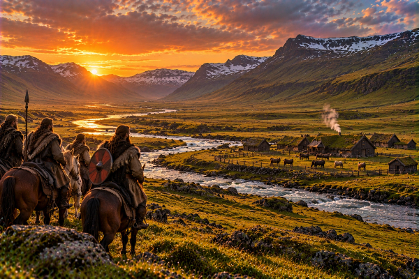
Eyvindardalur
Eyvindardalur is a historic location in Iceland mentioned in "Droplaugarsona saga", one of the ancient Íslendingasögur (Sagas of Icelanders). These medieval narratives preserve the history of Iceland's Viking Age settlement.
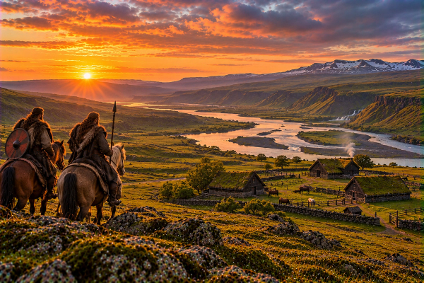
Finnsstaðir
Finnsstaðir is a historic location in Iceland mentioned in "Fljótsdæla saga", one of the ancient Íslendingasögur (Sagas of Icelanders). These medieval narratives preserve the history of Iceland's Viking Age settlement.
Járnsíðulækur
Járnsíðulækur is a historic location in Iceland mentioned in "Droplaugarsona saga", one of the ancient Íslendingasögur (Sagas of Icelanders). These medieval narratives preserve the history of Iceland's Viking Age settlement.
場所
場所
もっと探索